2000s (21st Century) Maps of Saratoga Township, North Dakota
Explore 20 historic maps of Saratoga Township from the 2000s (21st Century). These maps offer a rare glimpse into what life looked like during the 2000s — showing old roads, neighborhoods, homes, and landmarks that have changed or disappeared over time.
Whether you're researching your family's past, planning a metal detecting trip, or studying how Saratoga Township's landscape evolved across the 2000s, these high-resolution maps are a powerful tool for exploring the history of this region.
- Focus on a specific era: All maps on this page are from the 2000s, giving you a focused view of this time period.
- See what’s changed: Compare century-old streets, trails, and buildings to today's modern landscape using overlays and satellite layers.
- Research with precision: Use these maps for genealogy, historical research, land use analysis, or educational projects.
- View, download, or print: Maps are fully viewable online in high resolution, and can be downloaded or printed for your own records.
Start exploring Saratoga Township's history through authentic maps from the 2000s. This is your window into the past.
Saratoga Township, ND maps
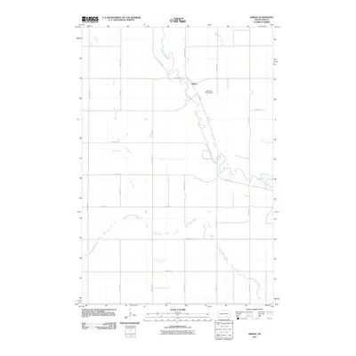
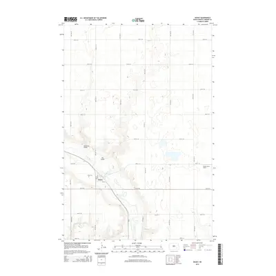
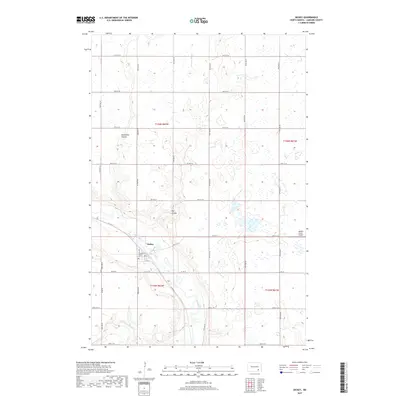
(20)- 2011 Map of Dickey, 2011 Print
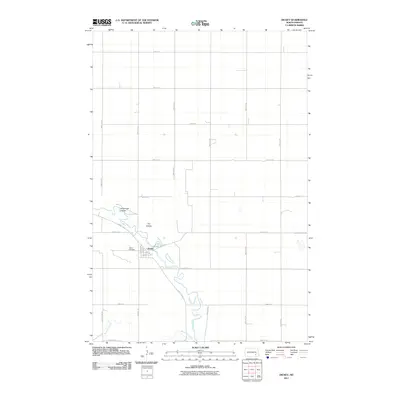 2011 Dickey2011 Print · USGSCovers Saratoga Township, including Dickey, Roscoe Township, and other nearby areas
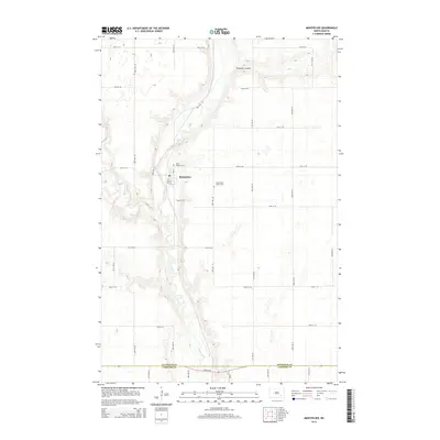
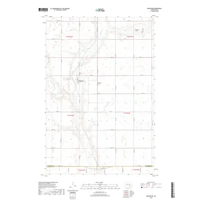
 - 2011 Map of Montpelier, 2011 Print
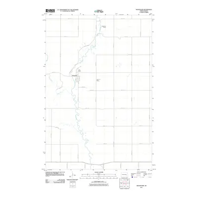 2011 Montpelier2011 Print · USGSCovers Saratoga Township, including Adrian Township, Montpelier, and other nearby areas
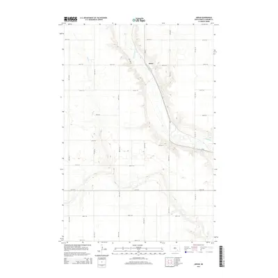
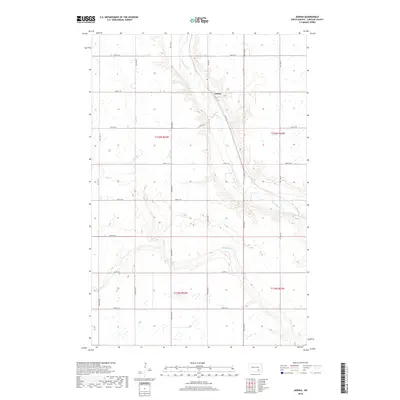
 - 2011 Map of Adrian, 2011 Print
 2011 Adrian2011 Print · USGSCovers Saratoga Township, including Adrian Township, Russell Township, and other nearby areas
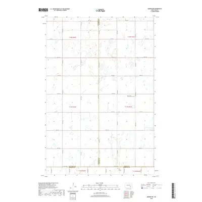
 - 2011 Map of Marion NW, 2011 Print
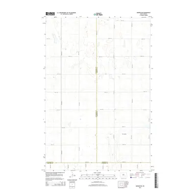
 2011 Marion NW2011 Print · USGSCovers Saratoga Township, including Meadow Lake Township, Greenland Township, and other nearby areas
 - 2014 Map of Dickey, 2014 Print
 2014 Dickey2014 Print · USGSCovers Saratoga Township, including Dickey, Roscoe Township, and other nearby areas
 - 2014 Map of Adrian, 2014 Print
 2014 Adrian2014 Print · USGSCovers Saratoga Township, including Adrian Township, Russell Township, and other nearby areas
 - 2014 Map of Montpelier, 2014 Print
 2014 Montpelier2014 Print · USGSCovers Saratoga Township, including Adrian Township, Montpelier, and other nearby areas
 - 2014 Map of Marion NW, 2014 Print
 2014 Marion NW2014 Print · USGSCovers Saratoga Township, including Meadow Lake Township, Greenland Township, and other nearby areas
 - 2017 Map of Dickey, 2017 Print
 2017 Dickey2017 Print · USGSCovers Saratoga Township, including Dickey, Roscoe Township, and other nearby areas
 - 2018 Map of Montpelier, 2018 Print
 2018 Montpelier2018 Print · USGSCovers Saratoga Township, including Adrian Township, Montpelier, and other nearby areas
 - 2018 Map of Adrian, 2018 Print
 2018 Adrian2018 Print · USGSCovers Saratoga Township, including Adrian Township, Russell Township, and other nearby areas
 - 2018 Map of Marion NW, 2018 Print
 2018 Marion NW2018 Print · USGSCovers Saratoga Township, including Meadow Lake Township, Greenland Township, and other nearby areas
 - 2020 Map of Adrian, 2020 Print
 2020 Adrian2020 Print · USGSCovers Saratoga Township, including Adrian Township, Russell Township, and other nearby areas
 - 2020 Map of Marion NW, 2020 Print
 2020 Marion NW2020 Print · USGSCovers Saratoga Township, including Meadow Lake Township, Greenland Township, and other nearby areas
 - 2020 Map of Montpelier, 2020 Print
 2020 Montpelier2020 Print · USGSCovers Saratoga Township, including Adrian Township, Montpelier, and other nearby areas
 - 2020 Map of Dickey, 2020 Print
 2020 Dickey2020 Print · USGSCovers Saratoga Township, including Dickey, Roscoe Township, and other nearby areas
 - 2024 Map of Montpelier, 2024 Print
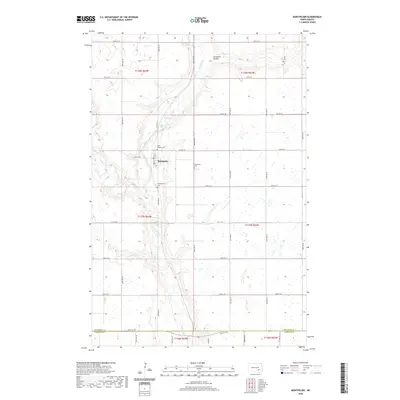
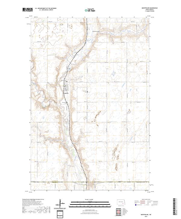 2024 Montpelier2024 Print · USGSThe community of Montpelier and the winding James River valley are shown here in recent detail. Researchers can trace local genealogy at Saint Huberts Cem and Presbyterian Cem or follow the paths of Beaver Creek and Streaman Coulee.
 - 2024 Map of Dickey, 2024 Print
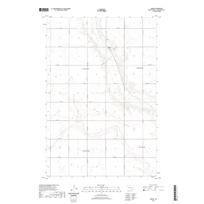
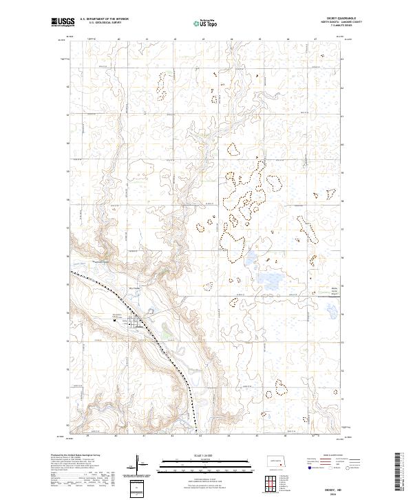 2024 Dickey2024 Print · USGSThe small town of Dickey is captured in this contemporary survey of southeastern North Dakota. Family historians can locate specific sites like the Assumption Catholic Cem or trace the winding waters of the James River and Bone-Hill Creek.
 - 2024 Map of Adrian, 2024 Print
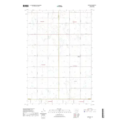
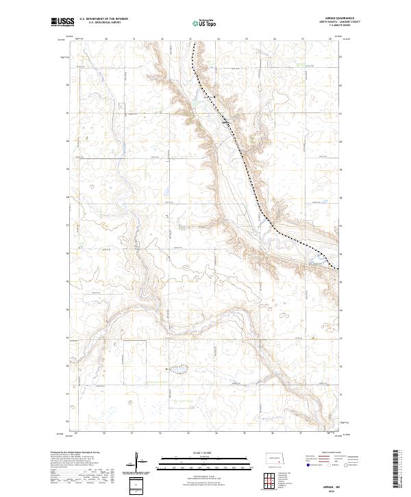 2024 Adrian2024 Print · USGSThe James River valley in LaMoure County remains a center of North Dakota's agricultural heartland into the 2020s. Genealogists and researchers can trace the roads around the settlement of Adrian, find the Adrian Cem, and explore the wetlands of the LaMoure County Waterfowl Production Area.
 - 2024 Map of Marion NW, 2024 Print
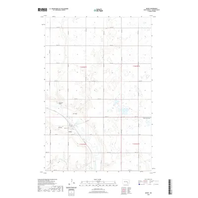
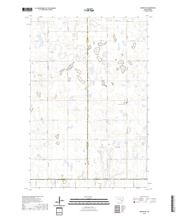 2024 Marion NW2024 Print · USGSThe intersection of Barnes, Stutsman, and LaMoure counties is captured here in the mid-2020s, showing a classic North Dakota landscape of prairie potholes and section-line roads. Researchers can locate the North Marion Reformed Church Cem or trace the path of Dry Coulee through the local townships.
End of results
Showing maps 1-20 of 20
Top cities near Saratoga Township
- LaMoure historical maps
- Ypsilanti historical maps
- Marion historical maps
- Adrian Township historical maps
- Grand Rapids historical maps
- Montpelier historical maps
See more
Frequently asked questions
- What are the different types of historical maps available for Saratoga Township?
- What is the oldest map of Saratoga Township?
- Where can I purchase historical maps of Saratoga Township for my home or office?
- Where can I download high-res historical maps of Saratoga Township?
- Are there historical topographic maps available for Saratoga Township?
- Is there historical aerial imagery available for Saratoga Township?
- Where are historical maps of Saratoga Township sourced from?