2020s Maps of Swede Township, North Dakota
Explore 8 historic maps of Swede Township from the 2020s. These maps offer a rare glimpse into what life looked like during the 2020s — showing old roads, neighborhoods, homes, and landmarks that have changed or disappeared over time.
Whether you're researching your family's past, planning a metal detecting trip, or studying how Swede Township's landscape evolved across the 2020s, these high-resolution maps are a powerful tool for exploring the history of this region.
- Focus on a specific era: All maps on this page are from the 2020s, giving you a focused view of this time period.
- See what’s changed: Compare century-old streets, trails, and buildings to today's modern landscape using overlays and satellite layers.
- Research with precision: Use these maps for genealogy, historical research, land use analysis, or educational projects.
- View, download, or print: Maps are fully viewable online in high resolution, and can be downloaded or printed for your own records.
Start exploring Swede Township's history through authentic maps from the 2020s. This is your window into the past.
Swede Township, ND maps
(8)- 2020 Map of Kulm, 2020 Print
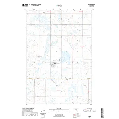 2020 Kulm2020 Print · USGSCovers Swede Township, including Kulm, Norden Township, and other nearby areas
 - 2020 Map of Fredonia, 2020 Print
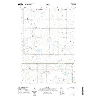 2020 Fredonia2020 Print · USGSCovers Swede Township, including Fredonia, Janke Township, and other nearby areas
 - 2020 Map of Fredonia NE, 2020 Print
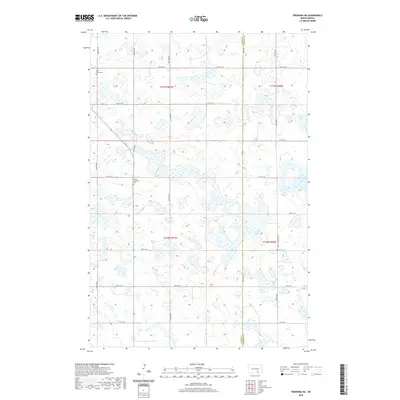 2020 Fredonia NE2020 Print · USGSCovers Swede Township, including Gutschmidt Township, Janke Township, and other nearby areas
 - 2020 Map of Schlecht-Weixel Dam, 2020 Print
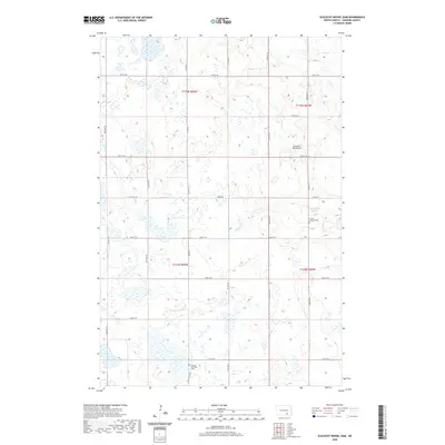 2020 Schlecht-Weixel Dam2020 Print · USGSCovers Swede Township, including Bluebird Township, Ray Township, and other nearby areas
 - 2024 Map of Kulm, 2024 Print
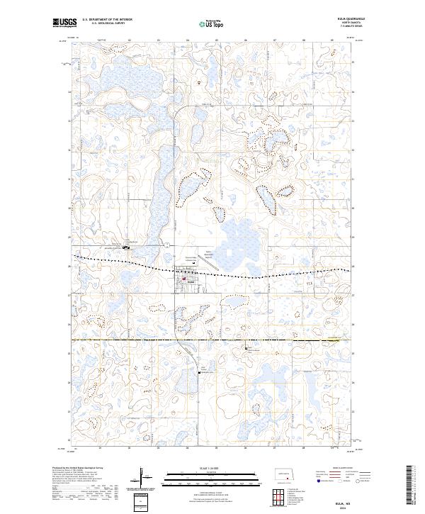 2024 Kulm2024 Print · USGSThe prairie town of Kulm and the surrounding plains are meticulously detailed in this recent survey. Genealogists can trace family ties at the Hillside Cem, Zion United Methodist Cem, and several other local churchyards near the Maple River.
 - 2024 Map of Fredonia NE, 2024 Print
 2024 Fredonia NE2024 Print · USGSThe Logan and LaMoure county line in south-central North Dakota is shown here as a landscape of prairie wetlands and section-line farms. Researchers can locate remote rural landmarks like Saint James Cem, Tiede Lutheran Cem, and the protected Logan County Waterfowl Production Area.
 - 2024 Map of Schlecht-Weixel Dam, 2024 Print
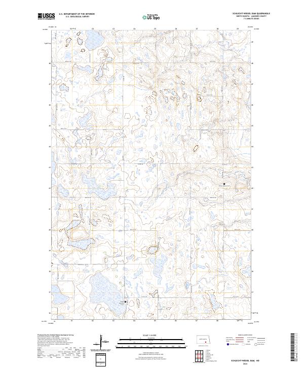 2024 Schlecht-Weixel Dam2024 Print · USGSLaMoure County conservation lands and early prairie townships are meticulously documented in this recent survey. Researchers can locate family roots and historical markers at the Trinity Lutheran Cem, Swede Township Cem, and along Maple Creek.
 - 2024 Map of Fredonia, 2024 Print
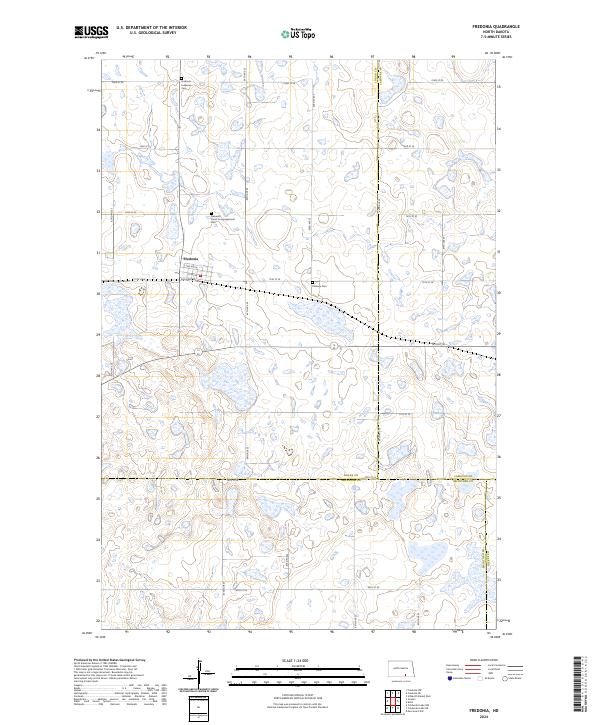 2024 Fredonia2024 Print · USGSIn this modern survey of the North Dakota prairie, Fredonia sits at a geographic crossroads between three counties. Researchers can trace local heritage through sites like Fredonia Lutheran Cem and several expansive Waterfowl Production Areas.
End of results
Showing maps 1-8 of 8
Top cities near Swede Township
Frequently asked questions
- What are the different types of historical maps available for Swede Township?
- What is the oldest map of Swede Township?
- Where can I purchase historical maps of Swede Township for my home or office?
- Where can I download high-res historical maps of Swede Township?
- Are there historical topographic maps available for Swede Township?
- Is there historical aerial imagery available for Swede Township?
- Where are historical maps of Swede Township sourced from?