2020s Maps of Willowbank Township, North Dakota
Explore 4 historic maps of Willowbank Township from the 2020s. These maps offer a rare glimpse into what life looked like during the 2020s — showing old roads, neighborhoods, homes, and landmarks that have changed or disappeared over time.
Whether you're researching your family's past, planning a metal detecting trip, or studying how Willowbank Township's landscape evolved across the 2020s, these high-resolution maps are a powerful tool for exploring the history of this region.
- Focus on a specific era: All maps on this page are from the 2020s, giving you a focused view of this time period.
- See what’s changed: Compare century-old streets, trails, and buildings to today's modern landscape using overlays and satellite layers.
- Research with precision: Use these maps for genealogy, historical research, land use analysis, or educational projects.
- View, download, or print: Maps are fully viewable online in high resolution, and can be downloaded or printed for your own records.
Start exploring Willowbank Township's history through authentic maps from the 2020s. This is your window into the past.
Willowbank Township, ND maps
(4)- 2020 Map of Edgeley SE, 2020 Print
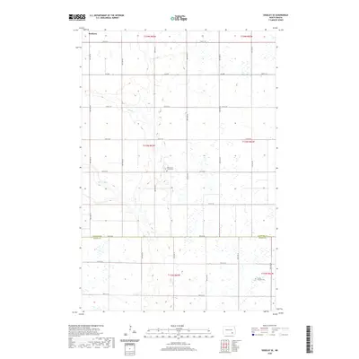 2020 Edgeley SE2020 Print · USGSCovers Willowbank Township, including Porter Township, Valley Township, and other nearby areas
 - 2020 Map of Edgeley, 2020 Print
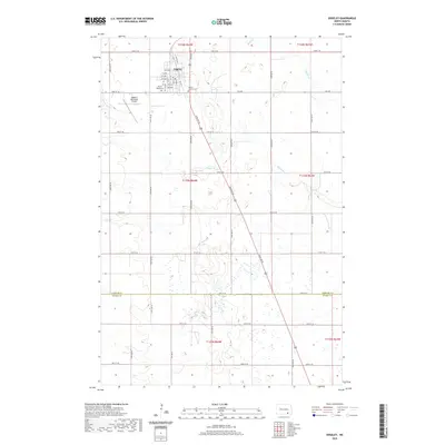 2020 Edgeley2020 Print · USGSCovers Willowbank Township, including Edgeley, Potsdam Township, and other nearby areas
 - 2024 Map of Edgeley SE, 2024 Print
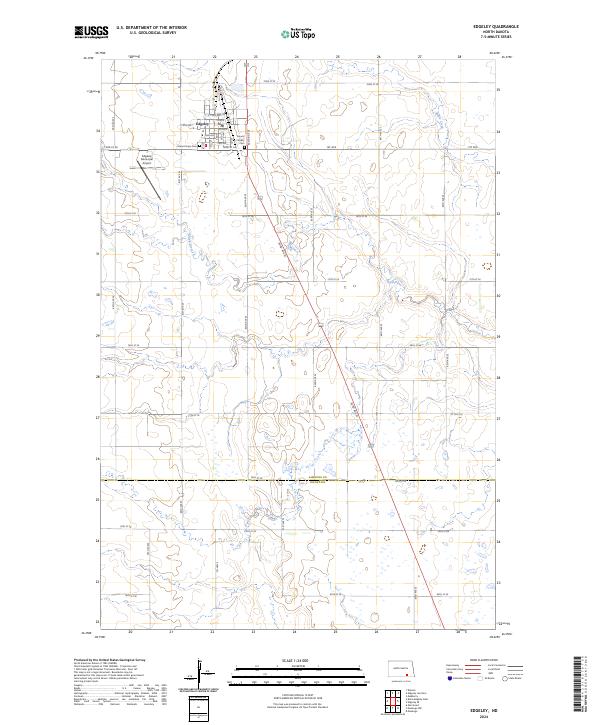
 2024 Edgeley SE2024 Print · USGSThe rural border of LaMoure and Dickey Counties comes into focus in this contemporary survey of southeastern North Dakota. Genealogists and local historians can locate the Finnish Lutheran Cem and Willowbank Colony Cem or trace the winding course of the Maple River.
 - 2024 Map of Edgeley, 2024 Print
 2024 Edgeley2024 Print · USGSThe town of Edgeley is shown at a contemporary moment, serving as a vital agricultural and conservation hub in LaMoure County. Genealogists and local historians can locate Mount Calvary Cem and trace the winding course of the Maple River through the prairie.
End of results
Showing maps 1-4 of 4
Top cities near Willowbank Township
- Edgeley historical maps
- Adrian Township historical maps
- Fullerton historical maps
- Dickey historical maps
- Berlin historical maps
- Monango historical maps
Top neighborhoods of Willowbank Township
Frequently asked questions
- What are the different types of historical maps available for Willowbank Township?
- What is the oldest map of Willowbank Township?
- Where can I purchase historical maps of Willowbank Township for my home or office?
- Where can I download high-res historical maps of Willowbank Township?
- Are there historical topographic maps available for Willowbank Township?
- Is there historical aerial imagery available for Willowbank Township?
- Where are historical maps of Willowbank Township sourced from?