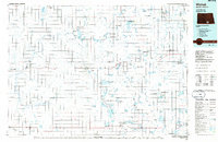
Old Maps of Red Lake Township, North Dakota for Metal Detecting
Plan your next treasure hunt with 27 historic maps of Red Lake Township. Find old homesites, ghost towns, trails, and gathering spots that may be lost to time — perfect for identifying promising metal detecting locations.
- Locate forgotten sites: Uncover places like long-lost settlements, abandoned rail lines, or gathering spots.
- Plan better hunts: Use map overlays combined with LiDAR or satellite views to narrow in on historically rich areas.
- Made for detectorists: Thousands of hobbyists use these maps to discover relics, coins, and hidden history.
Use these historic maps to boost your research and find new opportunities beneath the surface of Red Lake Township.
Red Lake Township, ND maps
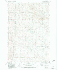
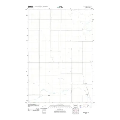
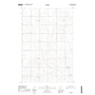
(27)- 1953 Map of Jamestown
 1953 Jamestown1953 Print · USGSSoutheastern North Dakota was a thriving rail and agricultural corridor in the early fifties, anchored by the James River. Researchers can trace the footprints of institutional landmarks like the North Dakota State Hospital and historic sites such as Whitestone Hill Battlefield Park.3 unique versions available
 - 1956 Map of Jamestown
 1956 Jamestown1956 Print · USGSThe James River valley and the vast alkali lake country of south-central North Dakota are captured here in the mid-fifties. Genealogists can trace family farms across several counties, locating small rail stops like Medberry and monuments like Whitestone Hill Battlefield Park.
 - 1982 Map of Wishek SW, 1983 Print
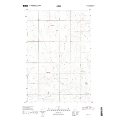
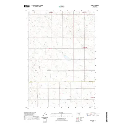
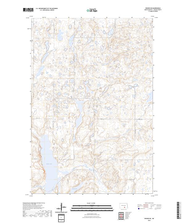
 1982 Wishek SW1983 Print · USGSThe Logan and McIntosh county line in south-central North Dakota is captured here during the early eighties. Genealogists and local historians can locate early burial sites like Salems Cem and Worms Cem among the agricultural fields and wells.
 - 1982 Map of Wishek NE, 1983 Print
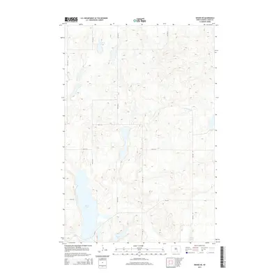
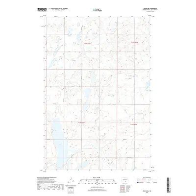
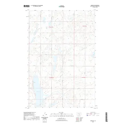
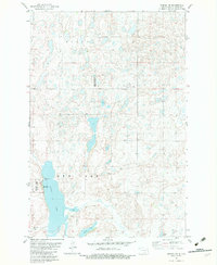 1982 Wishek NE1983 Print · USGSLogan County's prairie pothole region is captured in the early eighties, showcasing a landscape defined by conservation and recreation. Researchers can locate the Old Settlers Monument near Beaver Lake or trace the boundaries of the National Waterfowl Production Area.
 - 1982 Map of Burnstad, 1983 Print
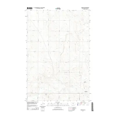
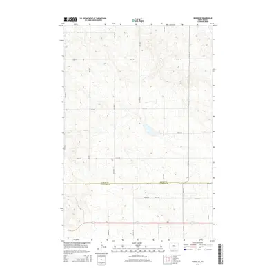
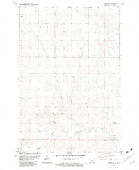 1982 Burnstad1983 Print · USGSLogan County prairie life in the early eighties centers on the rail-side settlement of Burnstad. Researchers can trace local lineage at the Red Lake Community Cem or locate the site of St Clares Ch along the Soo Line tracks.
 - 1982 Map of Wishek, 1983 Print
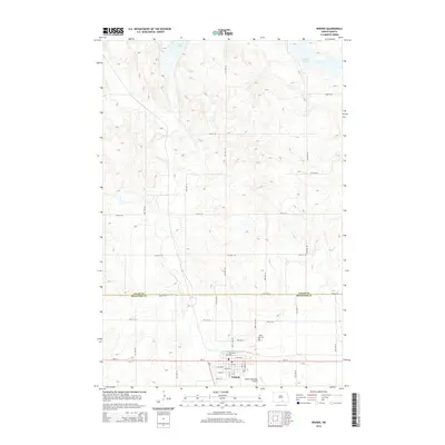
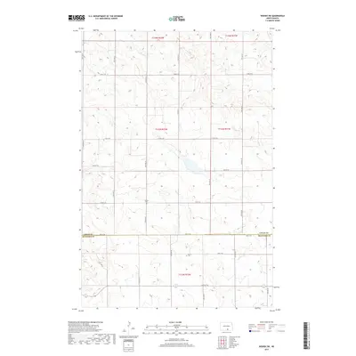
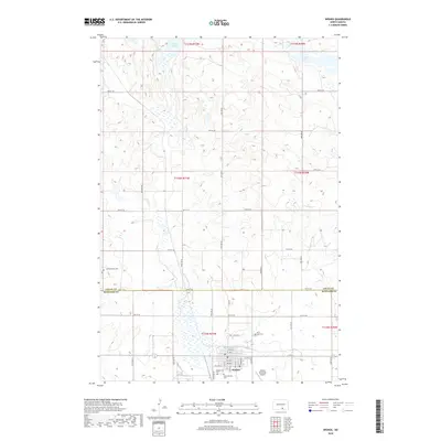
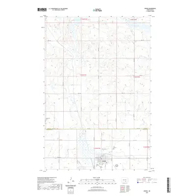
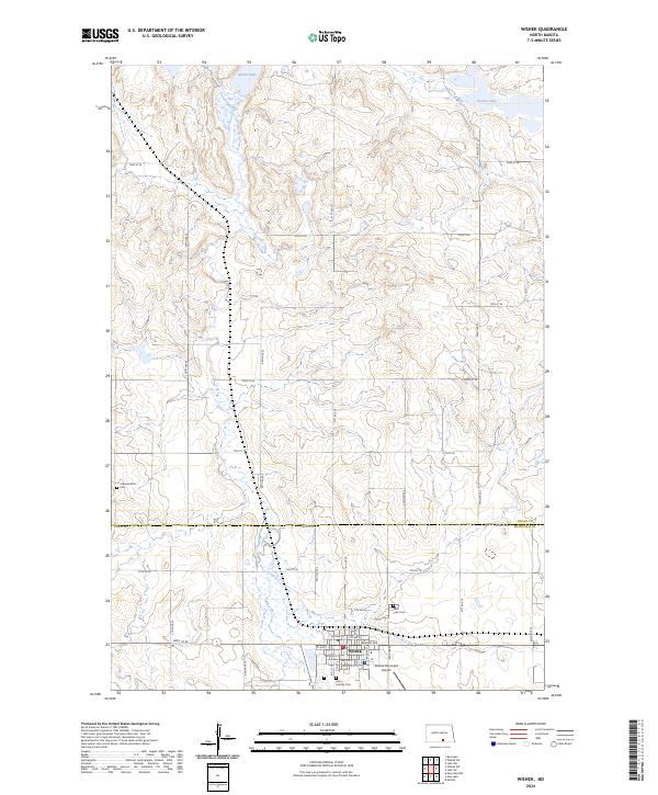
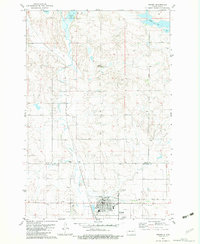 1982 Wishek1983 Print · USGSThe community of Wishek is documented here in the early eighties, showing a vital prairie town centered on the SOO LINE railroad. Researchers can locate specific local sites like St Luke Cem, the Fairground, and the Municipal Airport.
 - 1986 Map of Wishek
 1986 Wishek1986 Print · USGSMcIntosh and Logan counties are depicted here in the mid-1980s, a period defined by small-town rail commerce and extensive prairie conservation. Genealogists and researchers can trace the rail corridors of the Soo Line and Burlington Northern through centers like Wishek, Ashley, and Fredonia.2 unique versions available
 - 2011 Map of Wishek, 2011 Print
 2011 Wishek2011 Print · USGSCovers Red Lake Township, including Wishek, Logan County, and other nearby areas
 - 2011 Map of Wishek NE, 2011 Print
 2011 Wishek NE2011 Print · USGSCovers Red Lake Township, including Dixon Township, Logan County, and other nearby areas
 - 2011 Map of Wishek SW, 2011 Print
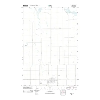
 2011 Wishek SW2011 Print · USGSCovers Red Lake Township, including Starkey Township, Logan County, and other nearby areas
 - 2011 Map of Burnstad, 2011 Print
 2011 Burnstad2011 Print · USGSCovers Red Lake Township, including Bryant Township, Burnstad, and other nearby areas
 - 2014 Map of Wishek, 2014 Print
 2014 Wishek2014 Print · USGSCovers Red Lake Township, including Wishek, Logan County, and other nearby areas
 - 2014 Map of Wishek NE, 2014 Print
 2014 Wishek NE2014 Print · USGSCovers Red Lake Township, including Dixon Township, Logan County, and other nearby areas
 - 2014 Map of Burnstad, 2014 Print
 2014 Burnstad2014 Print · USGSCovers Red Lake Township, including Bryant Township, Burnstad, and other nearby areas
 - 2014 Map of Wishek SW, 2014 Print
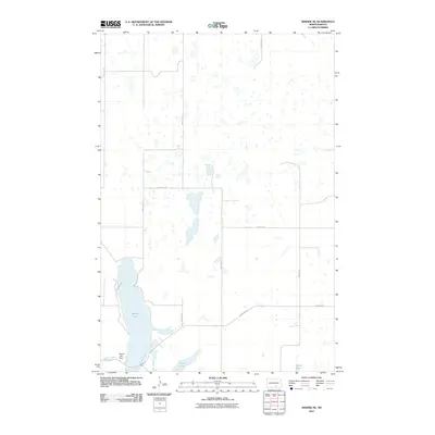
 2014 Wishek SW2014 Print · USGSCovers Red Lake Township, including Starkey Township, Logan County, and other nearby areas
 - 2017 Map of Wishek SW, 2017 Print
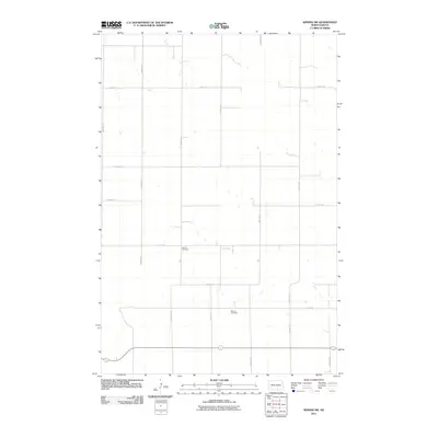
 2017 Wishek SW2017 Print · USGSCovers Red Lake Township, including Starkey Township, Logan County, and other nearby areas
 - 2018 Map of Wishek NE, 2018 Print
 2018 Wishek NE2018 Print · USGSCovers Red Lake Township, including Dixon Township, Logan County, and other nearby areas
 - 2018 Map of Burnstad, 2018 Print
 2018 Burnstad2018 Print · USGSCovers Red Lake Township, including Bryant Township, Burnstad, and other nearby areas
 - 2018 Map of Wishek, 2018 Print
 2018 Wishek2018 Print · USGSCovers Red Lake Township, including Wishek, Logan County, and other nearby areas
 - 2020 Map of Wishek SW, 2020 Print
 2020 Wishek SW2020 Print · USGSCovers Red Lake Township, including Starkey Township, Logan County, and other nearby areas
 - 2020 Map of Wishek NE, 2020 Print
 2020 Wishek NE2020 Print · USGSCovers Red Lake Township, including Dixon Township, Logan County, and other nearby areas
 - 2020 Map of Wishek, 2020 Print
 2020 Wishek2020 Print · USGSCovers Red Lake Township, including Wishek, Logan County, and other nearby areas
 - 2020 Map of Burnstad, 2020 Print
 2020 Burnstad2020 Print · USGSCovers Red Lake Township, including Bryant Township, Burnstad, and other nearby areas
 - 2024 Map of Wishek NE, 2024 Print
 2024 Wishek NE2024 Print · USGSLogan County's prairie wetland system is shown here in the 2020s, revealing a landscape of potholes and lakes essential for migratory birds. Genealogists and historians can trace old property lines and rural access roads like 71st St SE near Beaver Lake and Island Lake.
 - 2024 Map of Wishek, 2024 Print
 2024 Wishek2024 Print · USGSThe North Dakota prairie near the Logan and McIntosh county line is documented here in its modern configuration. Local historians and genealogists can trace the layout of Wishek or locate rural burial sites like Johannesthal Cem and Saint Patricks Cem.
Showing maps 1-25 of 27
Top cities near Red Lake Township
Top neighborhoods of Red Lake Township
Frequently asked questions
- What are the different types of historical maps available for Red Lake Township?
- What is the oldest map of Red Lake Township?
- Where can I purchase historical maps of Red Lake Township for my home or office?
- Where can I download high-res historical maps of Red Lake Township?
- Are there historical topographic maps available for Red Lake Township?
- Is there historical aerial imagery available for Red Lake Township?
- Where are historical maps of Red Lake Township sourced from?