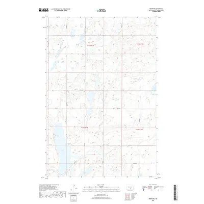
2018 Map of Wishek NE
USGS Topo · Published 2018About this map
Beaver Lake dominates the southwestern quadrant of this Logan County landscape, situated within a topography defined by glacial potholes and prairie wetlands. The map illustrates a strictly organized grid of agricultural section lines, where 38th Ave SE and 43rd Ave SE bound a territory of scattered water bodies including Island Lake and Doyles Lake. This 2018 survey reveals the persistent township and range system through boundaries like t134n r71w, marking a region dedicated to rural production and water management. The course of Beaver Cr connects these basins, reflecting the drainage patterns essential to North Dakota's central plains. Genealogists and historians can trace the precise layout of section roads such as 70th St SE that have structured local land ownership since early settlement.
Find a feature on this map
17 named features on this map. Tap any name to fly to it.
Don’t see what you’re looking for? This feature index may not catch every label — zoom into the map to look around manually.
Map Details
Editions of this 2018 Wishek NE Map
This is the sole edition of this map. No revisions or reprints were ever made.
Other maps of this area

1953 · Jamestown
USGS Topo · 1:250,000

1956 · Jamestown
USGS Topo · 1:250,000

1982 · Wishek SW
USGS Topo · 1:24,000

1982 · Wishek NE
USGS Topo · 1:24,000

1982 · Burnstad
USGS Topo · 1:24,000

1982 · Lehr NW
USGS Topo · 1:24,000

1982 · Lehr SW
USGS Topo · 1:24,000

1982 · Wishek
USGS Topo · 1:24,000

1983 · Streeter SW
USGS Topo · 1:24,000

1983 · Alkaline Lake SW
USGS Topo · 1:24,000