2020s Maps of Starkey Township, North Dakota
Explore 8 historic maps of Starkey Township from the 2020s. These maps offer a rare glimpse into what life looked like during the 2020s — showing old roads, neighborhoods, homes, and landmarks that have changed or disappeared over time.
Whether you're researching your family's past, planning a metal detecting trip, or studying how Starkey Township's landscape evolved across the 2020s, these high-resolution maps are a powerful tool for exploring the history of this region.
- Focus on a specific era: All maps on this page are from the 2020s, giving you a focused view of this time period.
- See what’s changed: Compare century-old streets, trails, and buildings to today's modern landscape using overlays and satellite layers.
- Research with precision: Use these maps for genealogy, historical research, land use analysis, or educational projects.
- View, download, or print: Maps are fully viewable online in high resolution, and can be downloaded or printed for your own records.
Start exploring Starkey Township's history through authentic maps from the 2020s. This is your window into the past.
Starkey Township, ND maps
(8)- 2020 Map of Wishek SW, 2020 Print
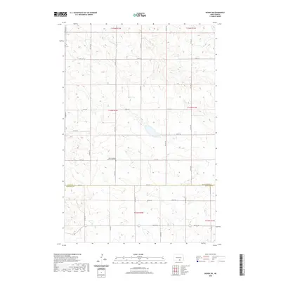 2020 Wishek SW2020 Print · USGSCovers Starkey Township, including Red Lake Township, Logan County, and other nearby areas
 - 2020 Map of McKenna Lake South, 2020 Print
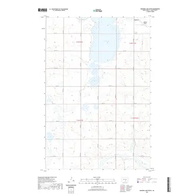 2020 McKenna Lake South2020 Print · USGSCovers Starkey Township, including Napoleon, Bryant Township, and other nearby areas
 - 2020 Map of Burnstad, 2020 Print
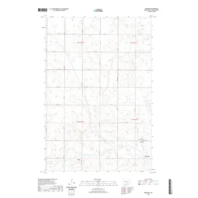 2020 Burnstad2020 Print · USGSCovers Starkey Township, including Bryant Township, Burnstad, and other nearby areas
 - 2020 Map of Schell Buttes, 2020 Print
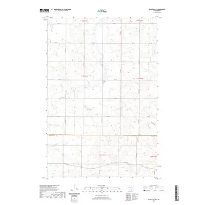 2020 Schell Buttes2020 Print · USGSCovers Starkey Township, including Logan County, McIntosh County, and other nearby areas
 - 2024 Map of Burnstad, 2024 Print
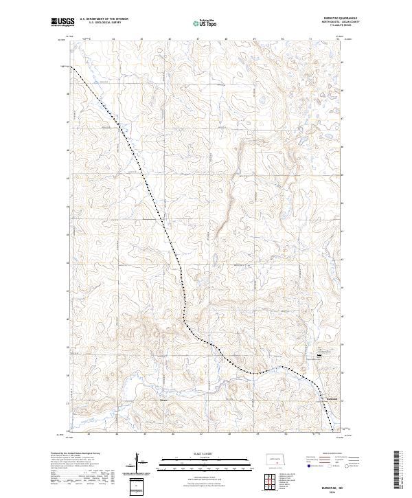 2024 Burnstad2024 Print · USGSLogan County, North Dakota, is documented here in a modern survey of its prairie landscape. Genealogists and local historians can trace family ties at the Saint Clara Catholic Cem or Red Lake Community Cem and locate the small settlements of Burnstad and Peters.
 - 2024 Map of McKenna Lake South, 2024 Print
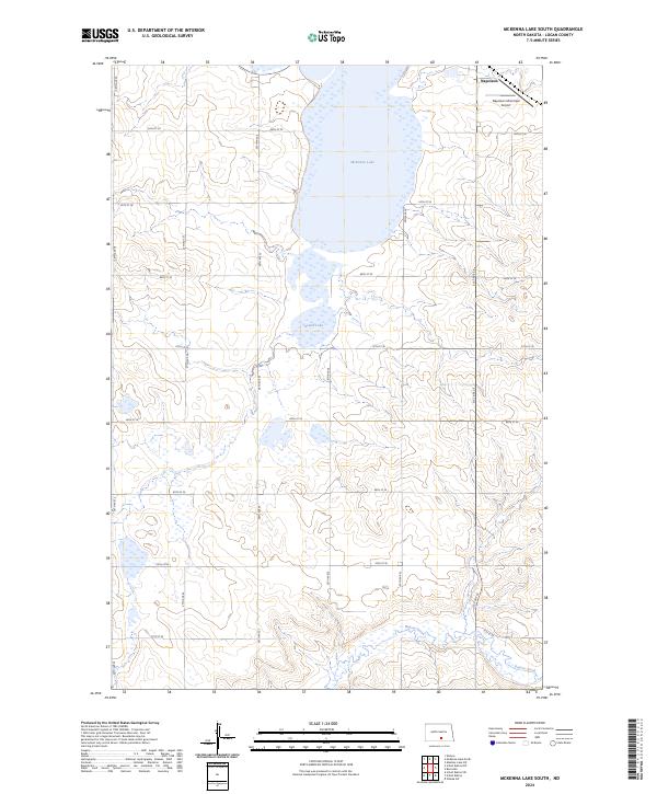 2024 McKenna Lake South2024 Print · USGSLogan County prairie and wetlands are on full display in this recent survey of the area around Napoleon. Genealogists and local historians can trace modern land divisions and access points near McKenna Lake, Round Lake, and the Napoleon Municipal Airport.
 - 2024 Map of Wishek SW, 2024 Print
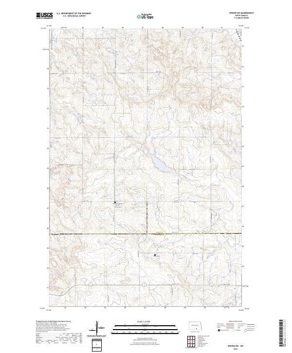 2024 Wishek SW2024 Print · USGSThe rural borderlands between Logan and McIntosh counties are captured here in the mid-2020s, revealing a landscape defined by prairie agriculture and Lutheran heritage. Researchers can locate significant burial grounds and church sites, such as the Salem Evangelical Lutheran Church Cem and Worms Cem.
 - 2024 Map of Schell Buttes, 2024 Print
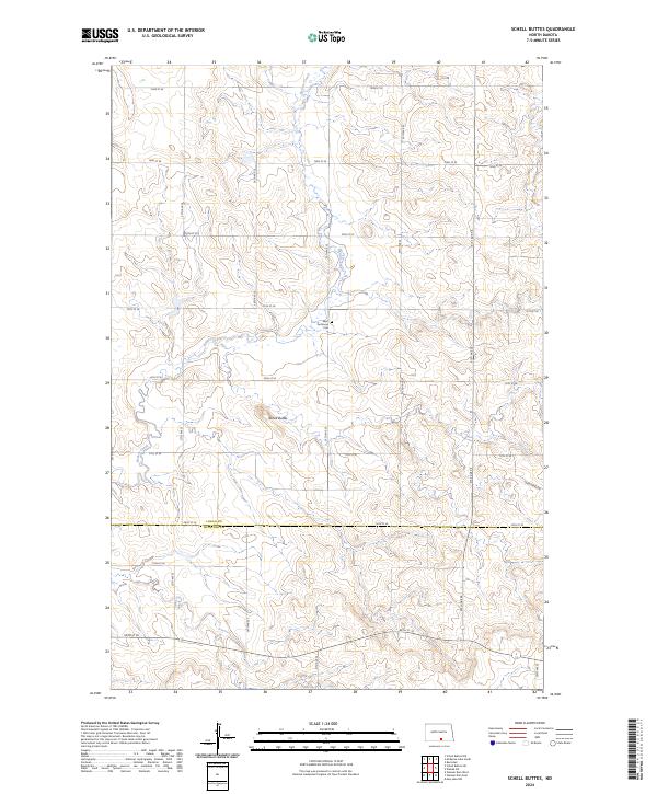 2024 Schell Buttes2024 Print · USGSThe North Dakota prairie at the border of Logan and McIntosh counties remains a sparsely settled agricultural landscape defined by its section-line roads. Genealogists and local historians can locate Saint Anthonys Cem and trace the course of Beaver Creek past the namesake Schell Buttes.
End of results
Showing maps 1-8 of 8
Top cities near Starkey Township
Top neighborhoods of Starkey Township
Frequently asked questions
- What are the different types of historical maps available for Starkey Township?
- What is the oldest map of Starkey Township?
- Where can I purchase historical maps of Starkey Township for my home or office?
- Where can I download high-res historical maps of Starkey Township?
- Are there historical topographic maps available for Starkey Township?
- Is there historical aerial imagery available for Starkey Township?
- Where are historical maps of Starkey Township sourced from?