Old Maps of Starkey Township, North Dakota for Academic Research
Study the evolution of Starkey Township with 27 high-resolution historic maps. Whether you're teaching, researching, or modeling changes in land use, these maps provide essential visual documentation of urban, environmental, and geographic change.
- Analyze long-term change: Track patterns in development, transportation, and natural features.
- Ideal for environmental or urban studies: Support academic projects with primary historical map data.
- Use in the classroom or lab: Educators and researchers rely on these maps to bring historical context to life.
These maps are a powerful tool for teaching, research, and visualizing how Starkey Township has changed over the decades.
Starkey Township, ND maps
(27)- 1953 Map of Jamestown
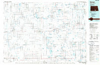
 1953 Jamestown1953 Print · USGSSoutheastern North Dakota was a thriving rail and agricultural corridor in the early fifties, anchored by the James River. Researchers can trace the footprints of institutional landmarks like the North Dakota State Hospital and historic sites such as Whitestone Hill Battlefield Park.3 unique versions available
 - 1956 Map of Jamestown
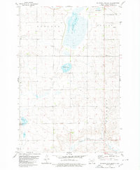
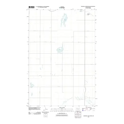
 1956 Jamestown1956 Print · USGSThe James River valley and the vast alkali lake country of south-central North Dakota are captured here in the mid-fifties. Genealogists can trace family farms across several counties, locating small rail stops like Medberry and monuments like Whitestone Hill Battlefield Park.
 - 1979 Map of Schell Buttes, 1980 Print
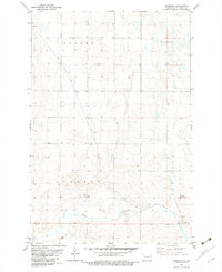
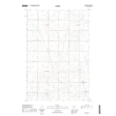
 1979 Schell Buttes1980 Print · USGSThe high plains of Logan and McIntosh Counties are captured here in the late 1970s, showing a landscape of working ranches and prairie drainages. Genealogists and local historians can locate St Anthonys Cem and the distinctive Schell Buttes.
 - 1979 Map of McKenna Lake South, 1980 Print
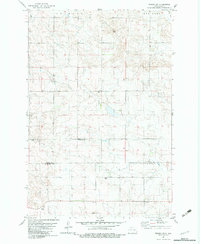
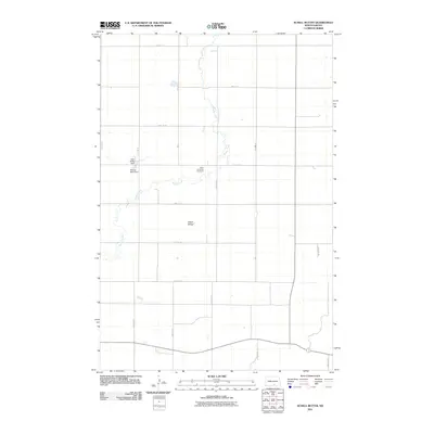
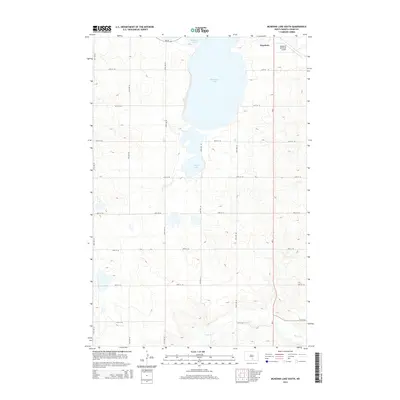
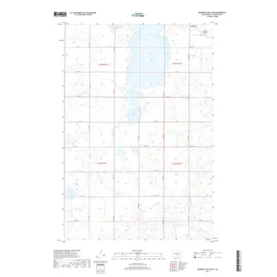
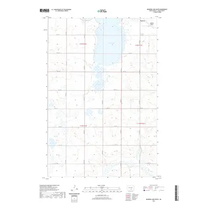
 1979 McKenna Lake South1980 Print · USGSLogan County’s glacial prairie and farmsteads are detailed in this late-seventies survey of the area south of Napoleon. Genealogists and local historians can trace family land in Kroeber or Starkey, and locate landmarks like St Boniface Ch.
 - 1982 Map of Wishek SW, 1983 Print
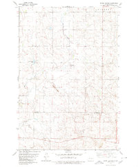
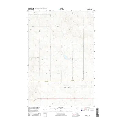
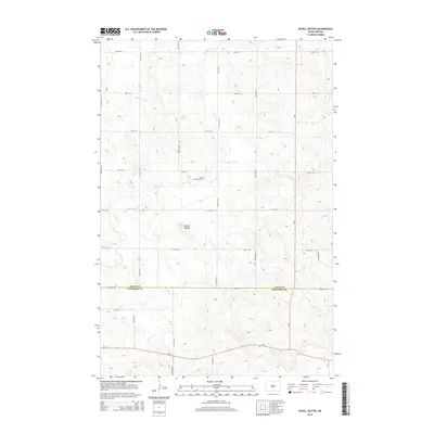
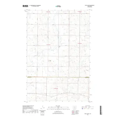
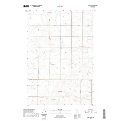
 1982 Wishek SW1983 Print · USGSThe Logan and McIntosh county line in south-central North Dakota is captured here during the early eighties. Genealogists and local historians can locate early burial sites like Salems Cem and Worms Cem among the agricultural fields and wells.
 - 1982 Map of Burnstad, 1983 Print
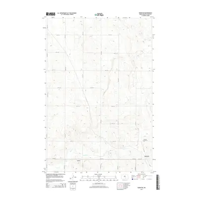
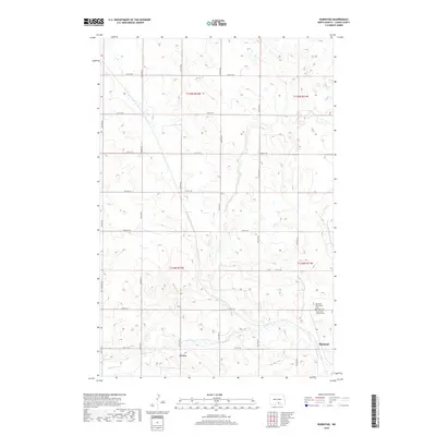
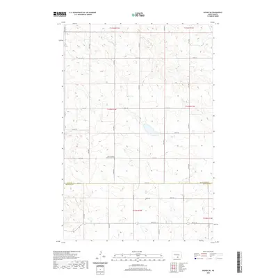
 1982 Burnstad1983 Print · USGSLogan County prairie life in the early eighties centers on the rail-side settlement of Burnstad. Researchers can trace local lineage at the Red Lake Community Cem or locate the site of St Clares Ch along the Soo Line tracks.
 - 1986 Map of Wishek
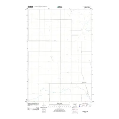
 1986 Wishek1986 Print · USGSMcIntosh and Logan counties are depicted here in the mid-1980s, a period defined by small-town rail commerce and extensive prairie conservation. Genealogists and researchers can trace the rail corridors of the Soo Line and Burlington Northern through centers like Wishek, Ashley, and Fredonia.2 unique versions available
 - 2011 Map of Wishek SW, 2011 Print
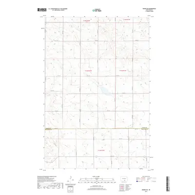
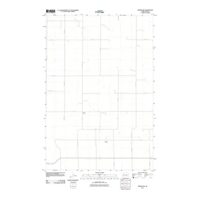 2011 Wishek SW2011 Print · USGSCovers Starkey Township, including Red Lake Township, Logan County, and other nearby areas
 - 2011 Map of Burnstad, 2011 Print
 2011 Burnstad2011 Print · USGSCovers Starkey Township, including Bryant Township, Burnstad, and other nearby areas
 - 2011 Map of Schell Buttes, 2011 Print
 2011 Schell Buttes2011 Print · USGSCovers Starkey Township, including Logan County, McIntosh County, and other nearby areas
 - 2011 Map of McKenna Lake South, 2011 Print
 2011 McKenna Lake South2011 Print · USGSCovers Starkey Township, including Napoleon, Bryant Township, and other nearby areas
 - 2014 Map of Burnstad, 2014 Print
 2014 Burnstad2014 Print · USGSCovers Starkey Township, including Bryant Township, Burnstad, and other nearby areas
 - 2014 Map of McKenna Lake South, 2014 Print
 2014 McKenna Lake South2014 Print · USGSCovers Starkey Township, including Napoleon, Bryant Township, and other nearby areas
 - 2014 Map of Wishek SW, 2014 Print
 2014 Wishek SW2014 Print · USGSCovers Starkey Township, including Red Lake Township, Logan County, and other nearby areas
 - 2014 Map of Schell Buttes, 2014 Print
 2014 Schell Buttes2014 Print · USGSCovers Starkey Township, including Logan County, McIntosh County, and other nearby areas
 - 2017 Map of McKenna Lake South, 2017 Print
 2017 McKenna Lake South2017 Print · USGSCovers Starkey Township, including Napoleon, Bryant Township, and other nearby areas
 - 2017 Map of Wishek SW, 2017 Print
 2017 Wishek SW2017 Print · USGSCovers Starkey Township, including Red Lake Township, Logan County, and other nearby areas
 - 2018 Map of Burnstad, 2018 Print
 2018 Burnstad2018 Print · USGSCovers Starkey Township, including Bryant Township, Burnstad, and other nearby areas
 - 2018 Map of Schell Buttes, 2018 Print
 2018 Schell Buttes2018 Print · USGSCovers Starkey Township, including Logan County, McIntosh County, and other nearby areas
 - 2020 Map of Wishek SW, 2020 Print
 2020 Wishek SW2020 Print · USGSCovers Starkey Township, including Red Lake Township, Logan County, and other nearby areas
 - 2020 Map of McKenna Lake South, 2020 Print
 2020 McKenna Lake South2020 Print · USGSCovers Starkey Township, including Napoleon, Bryant Township, and other nearby areas
 - 2020 Map of Burnstad, 2020 Print
 2020 Burnstad2020 Print · USGSCovers Starkey Township, including Bryant Township, Burnstad, and other nearby areas
 - 2020 Map of Schell Buttes, 2020 Print
 2020 Schell Buttes2020 Print · USGSCovers Starkey Township, including Logan County, McIntosh County, and other nearby areas
 - 2024 Map of Burnstad, 2024 Print
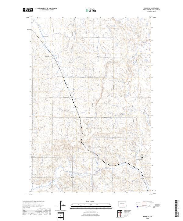 2024 Burnstad2024 Print · USGSLogan County, North Dakota, is documented here in a modern survey of its prairie landscape. Genealogists and local historians can trace family ties at the Saint Clara Catholic Cem or Red Lake Community Cem and locate the small settlements of Burnstad and Peters.
 - 2024 Map of McKenna Lake South, 2024 Print
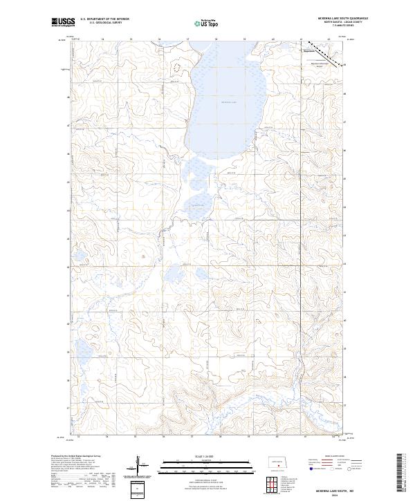 2024 McKenna Lake South2024 Print · USGSLogan County prairie and wetlands are on full display in this recent survey of the area around Napoleon. Genealogists and local historians can trace modern land divisions and access points near McKenna Lake, Round Lake, and the Napoleon Municipal Airport.
Showing maps 1-25 of 27
Top cities near Starkey Township
Top neighborhoods of Starkey Township
Frequently asked questions
- What are the different types of historical maps available for Starkey Township?
- What is the oldest map of Starkey Township?
- Where can I purchase historical maps of Starkey Township for my home or office?
- Where can I download high-res historical maps of Starkey Township?
- Are there historical topographic maps available for Starkey Township?
- Is there historical aerial imagery available for Starkey Township?
- Where are historical maps of Starkey Township sourced from?