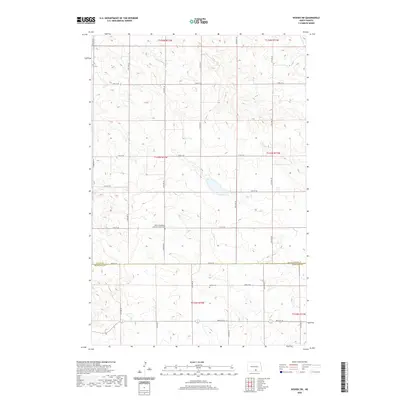
2020 Map of Wishek SW
USGS Topo · Published 2020About this map
The rolling plains of south-central North Dakota are meticulously documented here at the boundary of Logan Co and Mcintosh Co. This landscape is defined by the Public Land Survey System grid, where section lines are traced by a network of rural roads including 72nd St SE and 80th St SE. For those researching local heritage, the map identifies key community sites such as the Salem Evangelical Lutheran Church Cem and Worms Cem. These isolated burial grounds serve as quiet landmarks among the expansive agricultural sections and prairie wetlands that characterize this region of the northern Great Plains.
Find a feature on this map
17 named features on this map. Tap any name to fly to it.
Don’t see what you’re looking for? This feature index may not catch every label — zoom into the map to look around manually.
Map Details
Editions of this 2020 Wishek SW Map
This is the sole edition of this map. No revisions or reprints were ever made.
Other maps of this area

1953 · Jamestown
USGS Topo · 1:250,000

1956 · Jamestown
USGS Topo · 1:250,000

1979 · Schell Buttes
USGS Topo · 1:24,000

1979 · McKenna Lake South
USGS Topo · 1:24,000

1982 · Wishek SW
USGS Topo · 1:24,000

1982 · Wishek NE
USGS Topo · 1:24,000

1982 · May Lake NW
USGS Topo · 1:24,000

1982 · Burnstad
USGS Topo · 1:24,000

1982 · May Lake
USGS Topo · 1:24,000

1982 · Wishek
USGS Topo · 1:24,000