Old Maps of Mandaree, North Dakota for Genealogy
Trace your family roots with 17 historic maps of Mandaree. These high-res maps reveal old neighborhoods, homesites, landmarks, and streets — helping you uncover where your ancestors lived and how the area evolved over time.
- Explore historic neighborhoods: Identify where your relatives may have lived in the 1800s or 1900s.
- Compare maps over time: Trace the changes in streets, buildings, and landmarks for multi-generational research.
- Perfect for genealogy & ancestry research: Used by family historians and researchers to map out lineage and migration.
These maps are an incredible resource for exploring your personal connection to Mandaree's past.
Mandaree, ND maps
(17)- 1953 Map of Watford City, 1968 Print
 1953 Watford City1968 Print · USGSNorth Dakota's badlands and the Missouri River basin are captured here during the 1950s and 60s as the Garrison Dam changed the landscape. Researchers can trace old rail lines like the Great Northern or find rural outposts such as Grassy Butte and Halliday.3 unique versions available
 - 1957 Map of Watford City
 1957 Watford City1957 Print · USGSWestern North Dakota's landscape is captured here during the mid-fifties as the Missouri River valley undergoes massive change following the creation of Garrison Reservoir. Genealogists and historians can trace dozens of rural schools like Divide School and early settlements such as Arnegard and Grassy Butte.
 - 1967 Map of Watford City
 1967 Watford City1967 Print · USGSWestern North Dakota is captured during a period of landscape transformation as the Missouri River valley was reshaped by the new Garrison Reservoir. Genealogists and local historians can trace the foundations of Watford City, find the Elkhorn Ranch Site, or locate rural landmarks like Ziner Butte and Grassy Butte.
 - 1967 Map of Sanish SW, 1970 Print
 1967 Sanish SW1970 Print · USGSMcKenzie County's badlands terrain meets the rising waters of the Missouri River in the late sixties. Trace the inundated shoreline of Lake Sakakawea and find landmarks like Blue Butte or the Bear Den Creek Public Use Area.
 - 1970 Map of Mandaree, 1973 Print
 1970 Mandaree1973 Print · USGSMcKenzie and Dunn counties are captured here in the 1970s within the Fort Berthold Indian Reservation. Researchers can trace the development of Mandaree and locate distinctive landforms like Eagle Nest Butte and Phaelens Butte.
 - 1982 Map of Parshall, 1983 Print
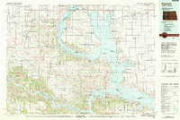 1982 Parshall1983 Print · USGSNorth Dakota's badlands and reservoir shorelines meet during the early eighties, showcasing a landscape shaped by both water and oil. Researchers can trace the development of New Town, locate the Riverview Cem, and explore the extent of the Antelope Oil Field.
 - 2011 Map of Sanish SW, 2011 Print
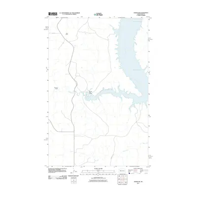 2011 Sanish SW2011 Print · USGSThe Missouri River breaks into the vast reservoir of Lake Sakakawea in the early 21st century, illustrating a landscape defined by water engineering and native lands. Researchers can trace the winding paths of Writing Rock Coulee, Bear Den Creek, and the heights of Blue Butte.
 - 2011 Map of Mandaree, 2011 Print
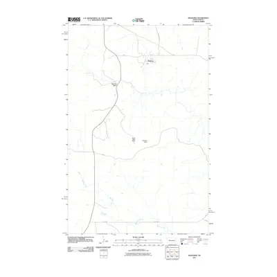 2011 Mandaree2011 Print · USGSWestern North Dakota's high-plains landscape is documented here in the early twenty-first century, centered on the community of Mandaree. Map collectors and researchers can trace the roads and landmarks of the area, from Spotted Horn to the heights of Eagle Nest Butte.
 - 2014 Map of Sanish SW, 2014 Print
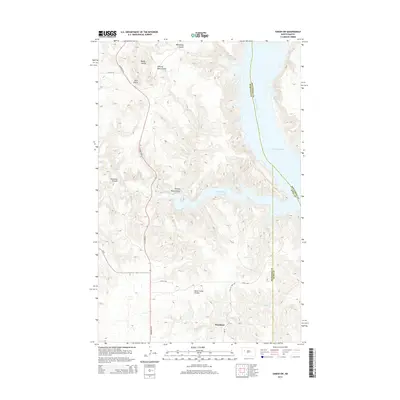 2014 Sanish SW2014 Print · USGSThe Missouri River breaks of Western North Dakota are captured here in the early twenty-first century as they meet the waters of Lake Sakakawea. Researchers can trace the layout of Mandaree and explore the complex drainage networks of Bear Den Bay and Horse Camp Coulee.
 - 2014 Map of Mandaree, 2014 Print
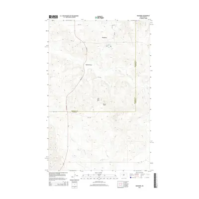 2014 Mandaree2014 Print · USGSThe community of Mandaree and the locality of Spotted Horn are captured in this 2014 survey of the western North Dakota plains. Researchers can trace the local road network through the McKenzie-Dunn county line and locate landmarks like Eagle Nest Butte.
 - 2018 Map of Sanish SW, 2018 Print
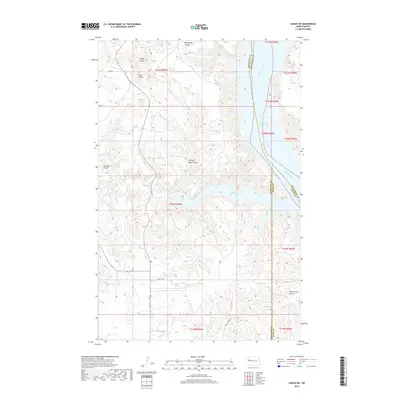 2018 Sanish SW2018 Print · USGSLake Sakakawea and the Missouri River breaks define this area in 2018, where tribal lands meet the edges of three North Dakota counties. Trace the rugged drainage of Writing Rock Coulee and Bear Den Bay, or locate the high point of Blue Butte.
 - 2018 Map of Mandaree, 2018 Print
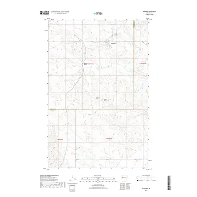 2018 Mandaree2018 Print · USGSMandaree and the surrounding McKenzie County high country are shown here in the late twenty-first century. Researchers can locate the Congregational Cem and trace the paths of Spotted Horn Cr past Eagle Nest Butte.
 - 2020 Map of Sanish SW, 2020 Print
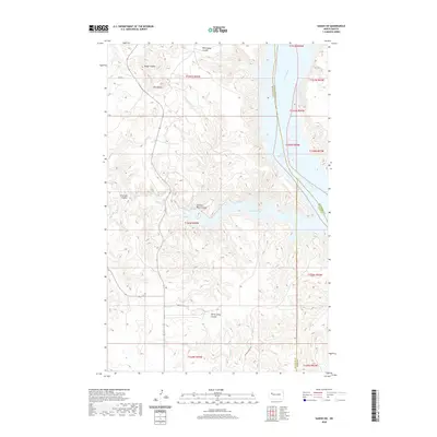 2020 Sanish SW2020 Print · USGSThe Missouri River breaks and the sprawling waters of Lake Sakakawea define this portion of North Dakota in the early twenty-first century. Genealogists and researchers can trace the rugged topography of Blue Butte and the winding paths of Whitebody Coulée and Horse Camp Coulee.
 - 2020 Map of Mandaree, 2020 Print
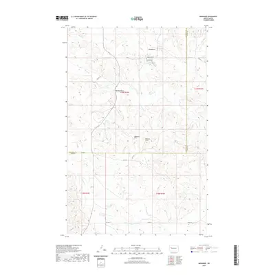 2020 Mandaree2020 Print · USGSThe Fort Berthold Reservation lands in McKenzie and Dunn Counties are captured here at the start of the 2020s. Researchers can locate Congregational Cem and trace the paths of Squaw Cr and Moccasin Cr near Mandaree.
 - 2023 Map of Mandaree, 2023 Print
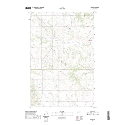 2023 Mandaree2023 Print · USGSThis high-plains landscape on the Fort Berthold Reservation illustrates the rural infrastructure of western North Dakota in the early twenty-first century. Genealogists and local historians can locate the Congregational Cem and trace the paths of Sakakawea Creek and Spotted Horn Creek.
 - 2024 Map of Sanish SW, 2024 Print
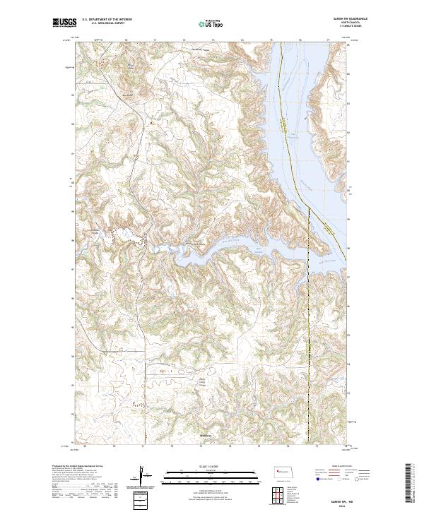 2024 Sanish SW2024 Print · USGSMcKenzie County and the Fort Berthold Reservation appear here in the early twenty-first century, centered on the community of Mandaree. Researchers can trace the rugged topography of Turnkey Ridge or locate local landmarks like the Figure 4 Ranch and Blue Butte near the shores of Lake Sakakawea.
 - 2024 Map of Mandaree, 2024 Print
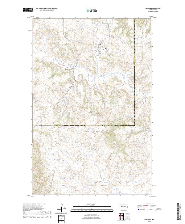 2024 Mandaree2024 Print · USGSMandaree and the surrounding McKenzie County highlands are captured here in a contemporary portrait of the Fort Berthold Indian Reservation. Local researchers can trace family landmarks like the Congregational Cem and natural markers including Eagle Nest Butte.
End of results
Showing maps 1-17 of 17
Top cities near Mandaree
Frequently asked questions
- What are the different types of historical maps available for Mandaree?
- What is the oldest map of Mandaree?
- Where can I purchase historical maps of Mandaree for my home or office?
- Where can I download high-res historical maps of Mandaree?
- Are there historical topographic maps available for Mandaree?
- Is there historical aerial imagery available for Mandaree?
- Where are historical maps of Mandaree sourced from?