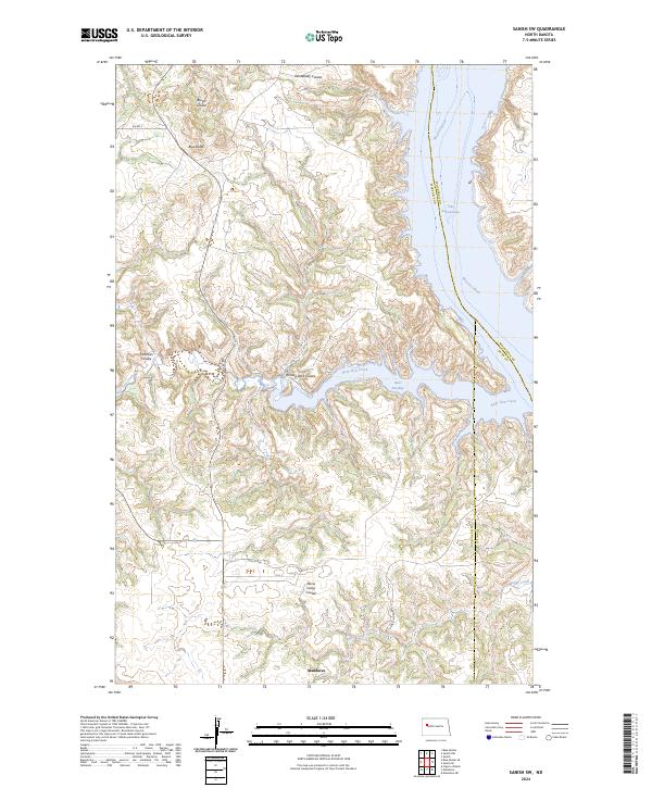
2024 Map of Sanish SW
USGS Topo · Published 2024About this map
Mandaree serves as a primary point of settlement in this contemporary mapping of the Fort Berthold Indian Reservation, where the high plains meet the intricate breaks of the Missouri River. The landscape is dominated by the extensive waters of Lake Sakakawea, particularly where it reaches into Bear Den Bay. The topography is defined by sharp elevation changes along Turnkey Ridge and distinctive landmarks such as Blue Butte, which rises above the surrounding coulees.
Find a feature on this map
25 named features on this map. Tap any name to fly to it.
Don’t see what you’re looking for? This feature index may not catch every label — zoom into the map to look around manually.
Map Details
Editions of this 2024 Sanish SW Map
This is the sole edition of this map. No revisions or reprints were ever made.
Other maps of this area

1953 · Watford City
USGS Topo · 1:250,000

1957 · Watford City
USGS Topo · 1:250,000

1965 · Blue Buttes
USGS Topo · 1:24,000

1965 · Blue Buttes SE
USGS Topo · 1:24,000

1967 · Watford City
USGS Topo · 1:250,000

1967 · Sanish NW
USGS Topo · 1:24,000

1967 · Sanish
USGS Topo · 1:24,000

1967 · Sanish SE
USGS Topo · 1:24,000

1967 · Sanish SW
USGS Topo · 1:24,000

1970 · Mandaree
USGS Topo · 1:24,000