Old Maps of McIntosh County, North Dakota for Metal Detecting
Plan your next treasure hunt with 197 historic maps of McIntosh County. Find old homesites, ghost towns, trails, and gathering spots that may be lost to time — perfect for identifying promising metal detecting locations.
- Locate forgotten sites: Uncover places like long-lost settlements, abandoned rail lines, or gathering spots.
- Plan better hunts: Use map overlays combined with LiDAR or satellite views to narrow in on historically rich areas.
- Made for detectorists: Thousands of hobbyists use these maps to discover relics, coins, and hidden history.
Use these historic maps to boost your research and find new opportunities beneath the surface of McIntosh County.
McIntosh County, ND maps
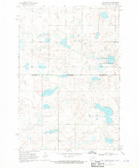
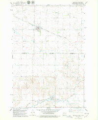
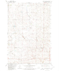
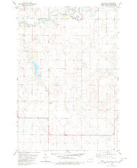
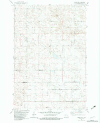
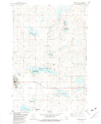
(197)- 1953 Map of Jamestown
 1953 Jamestown1953 Print · USGSSoutheastern North Dakota was a thriving rail and agricultural corridor in the early fifties, anchored by the James River. Researchers can trace the footprints of institutional landmarks like the North Dakota State Hospital and historic sites such as Whitestone Hill Battlefield Park.3 unique versions available
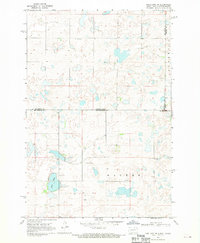
 - 1954 Map of Aberdeen, 1964 Print
 1954 Aberdeen1964 Print · USGSNortheastern South Dakota in the mid-fifties remains a world of rail-dependent prairie towns and sweeping waterfowl refuges. Genealogists can trace family roots through settlements like Eureka and Ipswich or locate rural landmarks near Richmond Lake.2 unique versions available
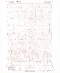
 - 1956 Map of Aberdeen
 1956 Aberdeen1956 Print · USGSUpper South Dakota during the mid-fifties remains a landscape of rail-connected farming towns and expansive glacial lake basins. Genealogists and historians can trace the paths of the Minneapolis and St Louis railroad through Gettysburg or locate vanished stops near Elm Lake and Richmond Lake.
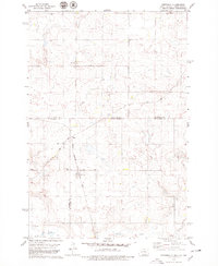
 - 1956 Map of Jamestown
 1956 Jamestown1956 Print · USGSThe James River valley and the vast alkali lake country of south-central North Dakota are captured here in the mid-fifties. Genealogists can trace family farms across several counties, locating small rail stops like Medberry and monuments like Whitestone Hill Battlefield Park.
 - 1968 Map of Long Lake NW, 1970 Print
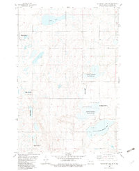
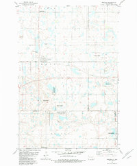
 1968 Long Lake NW1970 Print · USGSThe northern reaches of the Missouri Plateau come into focus in the late sixties as they cross the state line. Genealogists can trace rural family roots at Johannasthal Cem, Jewell Cem, and Emmanuel Cem among the prairie potholes.
 - 1968 Map of Long Lake NE, 1970 Print
 1968 Long Lake NE1970 Print · USGSThe North Dakota and South Dakota borderlands come into focus in the late sixties, showing a prairie landscape of glacial potholes and section-line roads. Genealogists can locate several family-named landmarks including St Lucas Cem, Ehresman Cem, and Rath Lake.
 - 1978 Map of Wolff Lake, 1979 Print
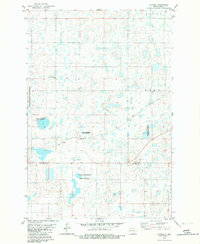
 1978 Wolff Lake1979 Print · USGSThe North Dakota and South Dakota borderlands are captured here during the late 1970s, showing a prairie landscape shaped by seasonal wetlands. Researchers can trace rural life through the Lutheran Cemetery, the small settlement of Lowell, and the Spring Creek corridor.
 - 1978 Map of Greenway, 1979 Print
 1978 Greenway1979 Print · USGSThe high plains of the Dakotas appear in the late 1970s as a landscape of isolated farmsteads and quiet rail sidings. Genealogists and historians can trace the paths of the CHICAGO MILWAUKEE ST PAUL AND PACIFIC railroad and the small settlement of Madra.
 - 1978 Map of Zeeland, 1979 Print
 1978 Zeeland1979 Print · USGSThe borderlands of the Dakotas are captured here in the late seventies, centered on the railroad towns of Zeeland and Artas. Genealogists and local historians can trace several burial sites including St Andrew Cem and Reformed Cem along the Milwaukee Road rail line.
 - 1978 Map of Zeeland NW, 1979 Print
 1978 Zeeland NW1979 Print · USGSThe borderlands of the Dakotas appear here in the late seventies, showing a quiet prairie landscape at the intersection of three counties. Genealogists and local historians can trace the Milwaukee Road rail line and locate the Baptist Cem or Freidens Cem.
 - 1978 Map of Venturia, 1979 Print
 1978 Venturia1979 Print · USGSThe North Dakota and South Dakota borderlands are captured here in the late seventies, showing the rail-aligned town of Venturia. Genealogists can trace family heritage through a remarkable concentration of local burial sites, including Baptist Cem, Lutheran Cem, and Friedens Cem.
 - 1978 Map of Schumacher Lake NE, 1979 Print
 1978 Schumacher Lake NE1979 Print · USGSThe North Dakota and South Dakota borderlands come alive in the late seventies, showing a landscape of prairie potholes and waterfowl conservation. Researchers can trace the path of the Old Railroad Grade or locate the rural St James Cem near Tschetter Lake.
 - 1979 Map of Schell Buttes, 1980 Print
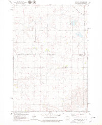
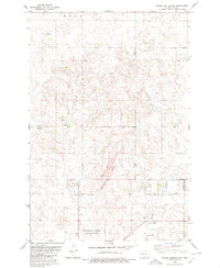
 1979 Schell Buttes1980 Print · USGSThe high plains of Logan and McIntosh Counties are captured here in the late 1970s, showing a landscape of working ranches and prairie drainages. Genealogists and local historians can locate St Anthonys Cem and the distinctive Schell Buttes.
 - 1979 Map of Schell Buttes SW, 1980 Print
 1979 Schell Buttes SW1980 Print · USGSNorth Dakota's rural heartland is captured here in the late seventies, showing the intersection of three counties and the Flickertail National Wildlife Refuge. Trace local history through markers like St Joseph Cem and St Michaels Ch.
 - 1980 Map of Hague
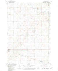 1980 Hague1980 Print · USGSThe prairie town of Hague is captured during the early eighties, situated along the county line. Genealogists and historians can trace the local rail corridor of the Chicago Milwaukee St Paul and Pacific and locate landmarks like St Marys Cem and the Vetter site.
 - 1980 Map of Weisser Dam West
 1980 Weisser Dam West1980 Print · USGSThe prairie landscape of south-central North Dakota is captured here during the late 1970s, showing a traditional agrarian layout. Local historians can trace the foundations of the community at St Aloysius Ch and Odessa Sch or locate the Weisser Dam along the drainage of Beaver Creek.
 - 1980 Map of Hague SE
 1980 Hague SE1980 Print · USGSMcIntosh County remains a landscape of quiet prairie and section-line roads during the late twentieth century. Genealogists and local historians can locate remote landmarks such as St Johns Ch, St Andrews Ch, and the winding South Branch Beaver Creek.
 - 1982 Map of Coldwater Lake NW
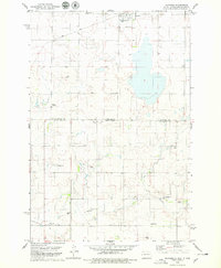
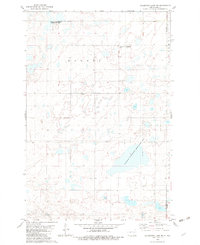
 1982 Coldwater Lake NW1982 Print · USGSNorth Dakota's prairie pothole region is captured here in the early eighties, showing a landscape dedicated to conservation and rural life. Researchers can locate the Berlin Ch and trace the boundaries of the Mc Intosh County State Wildlife Management Area and Miller Lake.
 - 1982 Map of Guyson
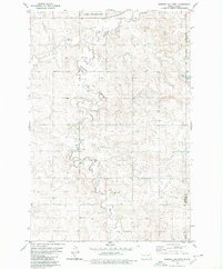
 1982 Guyson1982 Print · USGSLogan and McIntosh counties are shown here in the early 1980s, characterized by a prairie landscape of potholes and family land tracts. Researchers can locate family heritage sites like Tabor Congregation Cem and trace the Soo Line rail route.
 - 1982 Map of Coldwater Lake NE
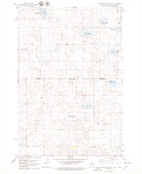
 1982 Coldwater Lake NE1982 Print · USGSThe borderlands of McIntosh and Dickey counties are captured in the early eighties, showcasing a landscape of prairie potholes and German-heritage settlement. Researchers can locate the Gnadenfeld Congregational Cem and trace wetland boundaries in the National Waterfowl Production Area.
 - 1982 Map of Wishek SW, 1983 Print
 1982 Wishek SW1983 Print · USGSThe Logan and McIntosh county line in south-central North Dakota is captured here during the early eighties. Genealogists and local historians can locate early burial sites like Salems Cem and Worms Cem among the agricultural fields and wells.
 - 1982 Map of Fredonia, 1983 Print
 1982 Fredonia1983 Print · USGSFredonia and the surrounding townships in Logan County are shown here during the early eighties, centered on the SOO LINE railroad corridor. Researchers can locate local burial sites such as Nazareth Parish Cem and trace the boundaries of the National Waterfowl Production Area.
 - 1982 Map of Danzig, 1983 Print
 1982 Danzig1983 Print · USGSMcIntosh County in the early eighties is defined by its extensive prairie pothole wetlands and the small settlement of Danzig. Genealogists and local historians can locate Salem Cem, Danzig Cem, and public lands like Green Lake.
 - 1982 Map of May Lake NW, 1983 Print
 1982 May Lake NW1983 Print · USGSMcIntosh County prairie land is mapped here in the early eighties, showcasing a rural landscape defined by its waterways and section lines. Genealogists can trace family roots through several local landmarks including Old Kassel Cem, St Johns Cem, and Beaver Creek.
 - 1982 Map of Ashley East, 1983 Print
 1982 Ashley East1983 Print · USGSThe McIntosh County prairie comes alive in the early eighties as a hub for agriculture and conservation. Genealogists and historians can locate the Ashley townsite, the Old RR Grade, and several rural burial grounds like Emmans Cem.
Showing maps 1-25 of 197
Top cities of McIntosh County
Frequently asked questions
- What are the different types of historical maps available for McIntosh County?
- What is the oldest map of McIntosh County?
- Where can I purchase historical maps of McIntosh County for my home or office?
- Where can I download high-res historical maps of McIntosh County?
- Are there historical topographic maps available for McIntosh County?
- Is there historical aerial imagery available for McIntosh County?
- Where are historical maps of McIntosh County sourced from?