
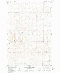
1979 Map of Schell Buttes SW
USGS Topo · Published 1980About this map
St Michaels Ch stands as a focal point in this 1970s landscape where the borders of Emmons, Logan, and McIntosh counties meet. The area is defined by its rural character and shifting terrain, notably within the protected bounds of the Flickertail National Wildlife Refuge. Beaver Creek winds through the southern portion of the quadrangle, creating a distinct hydrological pattern amidst the numerous Gravel Pits and Wells that suggest local resource extraction during this era.
Find a feature on this map
10 named features on this map. Tap any name to fly to it.
Don’t see what you’re looking for? This feature index may not catch every label — zoom into the map to look around manually.
Map Details
Editions of this 1979 Schell Buttes SW Map
This is the sole edition of this map. No revisions or reprints were ever made.
Other maps of this area

1953 · Jamestown
USGS Topo · 1:250,000

1954 · Bismarck
USGS Topo · 1:250,000

1956 · Jamestown
USGS Topo · 1:250,000

1958 · Bismarck
USGS Topo · 1:250,000

1975 · Linton NE
USGS Topo · 1:24,000

1979 · Schell Buttes
USGS Topo · 1:24,000

1979 · Senger Lake North
USGS Topo · 1:24,000

1979 · Schell Buttes NW
USGS Topo · 1:24,000

1979 · McKenna Lake South
USGS Topo · 1:24,000
1980 · Rohrich Dam
USGS Topo · 1:24,000