Old Maps of East Fairview, North Dakota for Academic Research
Study the evolution of East Fairview with 12 high-resolution historic maps. Whether you're teaching, researching, or modeling changes in land use, these maps provide essential visual documentation of urban, environmental, and geographic change.
- Analyze long-term change: Track patterns in development, transportation, and natural features.
- Ideal for environmental or urban studies: Support academic projects with primary historical map data.
- Use in the classroom or lab: Educators and researchers rely on these maps to bring historical context to life.
These maps are a powerful tool for teaching, research, and visualizing how East Fairview has changed over the decades.
East Fairview, ND maps
(12)- 1909 Map of Glendive
 1909 Glendive1909 Print · USGSThe confluence of the Missouri and Yellowstone rivers in the first decade of the twentieth century shows a region of scattered ranches and emerging river towns. Genealogists can trace family landmarks like Cavanaughs Ranch or Nortons Ranch and find early resource sites like the Coal Mine.
 - 1954 Map of Glendive, 1967 Print
 1954 Glendive1967 Print · USGSEastern Montana at mid-century shows a landscape of river-valley commerce and remote prairie ranching. Researchers can trace the legacy of rural education and transport through sites like Prairie Elk School, the Great Northern rail lines, and Circle.2 unique versions available
 - 1957 Map of Glendive
 1957 Glendive1957 Print · USGSEastern Montana in the mid-1950s is defined by its deep river valleys and a sprawling network of rural school districts. You can trace the path of the Great Northern railroad and locate vanished local landmarks like Breezy Flat School and Newton Junction.
 - 1958 Map of Glendive
 1958 Glendive1958 Print · USGSEastern Montana and the North Dakota borderlands come alive in the late fifties, showing the agricultural heart of the Yellowstone valley. Trace the legacy of rural education through Kimmel School and Ridgelawn School or locate rail hubs in Glendive and Sidney.
 - 1972 Map of Fairview, 1975 Print
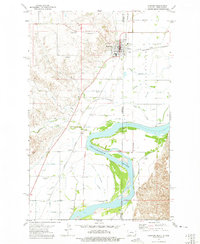 1972 Fairview1975 Print · USGSThe border towns of Fairview and East Fairview are captured here in the early 1970s, showcasing a landscape shaped by the Yellowstone River. Genealogists can locate family landmarks like Pioneer Cem, Estes Sch, and the old rail siding at Ridgelawn.
 - 1981 Map of Sidney
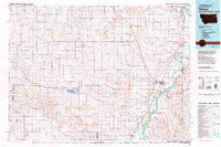 1981 Sidney1981 Print · USGSThe Montana-North Dakota borderlands appear in the early 1980s, centered on the river-fed agricultural hub of Sidney. Researchers can trace the Burlington Northern rail lines and the rural layouts of Fairview, Lambert, and Enid.
 - 1997 Map of Fairview, 2001 Print
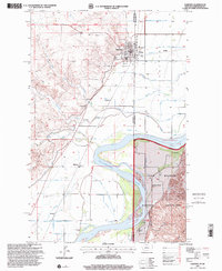 1997 Fairview2001 Print · USGSFairview stands at the crossroads of the Montana and North Dakota border during the late 1990s, where the Yellowstone River meets a landscape of legacy ranches. Researchers can locate family landmarks like the M Flynn Ranch or trace local lineage at the Pioneer Cem and Bethel Cem.
 - 2011 Map of Fairview, 2011 Print
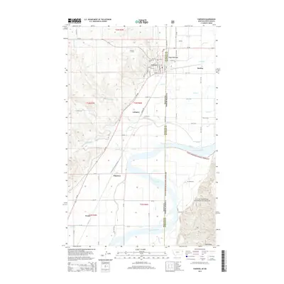
 2011 Fairview2011 Print · USGSCovers East Fairview, including Fairview, Ridgelawn, and other nearby areas
 - 2014 Map of Fairview, 2014 Print
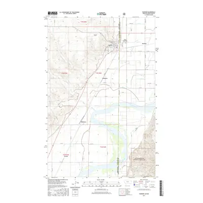
 2014 Fairview2014 Print · USGSCovers East Fairview, including Fairview, Ridgelawn, and other nearby areas
 - 2017 Map of Fairview, 2017 Print
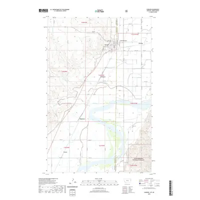
 2017 Fairview2017 Print · USGSCovers East Fairview, including Fairview, Ridgelawn, and other nearby areas
 - 2020 Map of Fairview, 2020 Print
 2020 Fairview2020 Print · USGSCovers East Fairview, including Fairview, Ridgelawn, and other nearby areas
 - 2024 Map of Fairview, 2024 Print
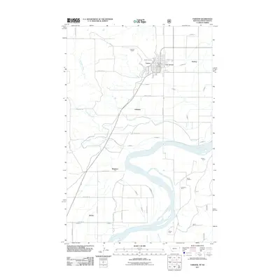
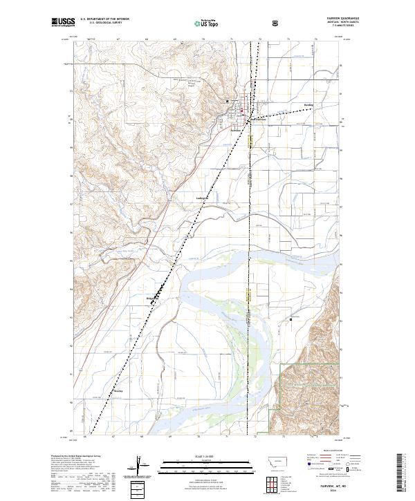 2024 Fairview2024 Print · USGSThe border communities of Fairview and East Fairview are captured here as they exist today along the Yellowstone river valley. Researchers can trace the extensive irrigation network through Main Canal, locate rural landmarks like Pioneer Cem, and explore the margins of the Little Missouri National Grassland.
End of results
Showing maps 1-12 of 12
Top cities near East Fairview
Frequently asked questions
- What are the different types of historical maps available for East Fairview?
- What is the oldest map of East Fairview?
- Where can I purchase historical maps of East Fairview for my home or office?
- Where can I download high-res historical maps of East Fairview?
- Are there historical topographic maps available for East Fairview?
- Is there historical aerial imagery available for East Fairview?
- Where are historical maps of East Fairview sourced from?