Old Maps of Homesteaders Gap, North Dakota for Academic Research
Study the evolution of Homesteaders Gap with 12 high-resolution historic maps. Whether you're teaching, researching, or modeling changes in land use, these maps provide essential visual documentation of urban, environmental, and geographic change.
- Analyze long-term change: Track patterns in development, transportation, and natural features.
- Ideal for environmental or urban studies: Support academic projects with primary historical map data.
- Use in the classroom or lab: Educators and researchers rely on these maps to bring historical context to life.
These maps are a powerful tool for teaching, research, and visualizing how Homesteaders Gap has changed over the decades.
Homesteaders Gap, ND maps
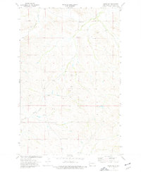
(12)- 1953 Map of Watford City, 1968 Print
 1953 Watford City1968 Print · USGSNorth Dakota's badlands and the Missouri River basin are captured here during the 1950s and 60s as the Garrison Dam changed the landscape. Researchers can trace old rail lines like the Great Northern or find rural outposts such as Grassy Butte and Halliday.3 unique versions available
 - 1957 Map of Watford City
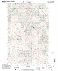
 1957 Watford City1957 Print · USGSWestern North Dakota's landscape is captured here during the mid-fifties as the Missouri River valley undergoes massive change following the creation of Garrison Reservoir. Genealogists and historians can trace dozens of rural schools like Divide School and early settlements such as Arnegard and Grassy Butte.
 - 1967 Map of Watford City
 1967 Watford City1967 Print · USGSWestern North Dakota is captured during a period of landscape transformation as the Missouri River valley was reshaped by the new Garrison Reservoir. Genealogists and local historians can trace the foundations of Watford City, find the Elkhorn Ranch Site, or locate rural landmarks like Ziner Butte and Grassy Butte.
 - 1974 Map of Squaw Gap, 1977 Print
 1974 Squaw Gap1977 Print · USGSMcKenzie County ranching country and the small community of Squaw Gap are detailed here during the mid-seventies. Genealogists and historians can trace the locations of the Plainview School, Sunny Side Cemetery, and various local Scoria Pits.
 - 1983 Map of Grassy Butte
 1983 Grassy Butte1983 Print · USGSWestern North Dakota’s Badlands are mapped here in the early 1980s, centered on the Little Missouri River and its rugged breaks. Local historians can trace the boundaries of Grassy Butte and Fairfield, alongside landmarks like Pikes Peak and the isolated Elkhorn Ranch Site.
 - 1997 Map of Squaw Gap, 2001 Print
 1997 Squaw Gap2001 Print · USGSMcKenzie County ranchlands and energy resources meet in the 1990s within the Little Missouri National Grassland. Genealogists and local historians can trace legacy ranch sites like Kupper HQ Ranch and find the rural Plainview Sch and Sunny Side Cem.
 - 2011 Map of West of Flat Rock Butte, 2011 Print
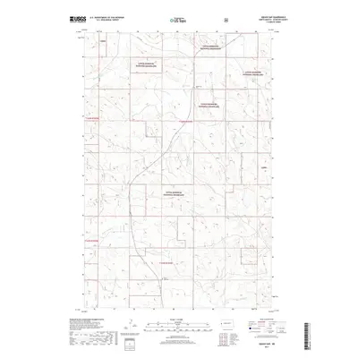
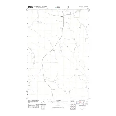 2011 West of Flat Rock Butte2011 Print · USGSCovers Homesteaders Gap, including McKenzie County, United States, and other nearby areas
 - 2014 Map of West of Flat Rock Butte, 2014 Print
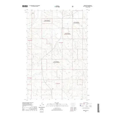
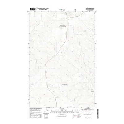 2014 West of Flat Rock Butte2014 Print · USGSCovers Homesteaders Gap, including McKenzie County, United States, and other nearby areas
 - 2017 Map of West of Flat Rock Butte, 2017 Print
 2017 West of Flat Rock Butte2017 Print · USGSCovers Homesteaders Gap, including McKenzie County, United States, and other nearby areas
 - 2020 Map of West of Flat Rock Butte, 2020 Print
 2020 West of Flat Rock Butte2020 Print · USGSCovers Homesteaders Gap, including McKenzie County, United States, and other nearby areas
 - 2023 Map of West of Flat Rock Butte, 2023 Print
 2023 West of Flat Rock Butte2023 Print · USGSCovers Homesteaders Gap, including McKenzie County, United States, and other nearby areas
 - 2024 Map of West of Flat Rock Butte, 2024 Print
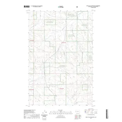
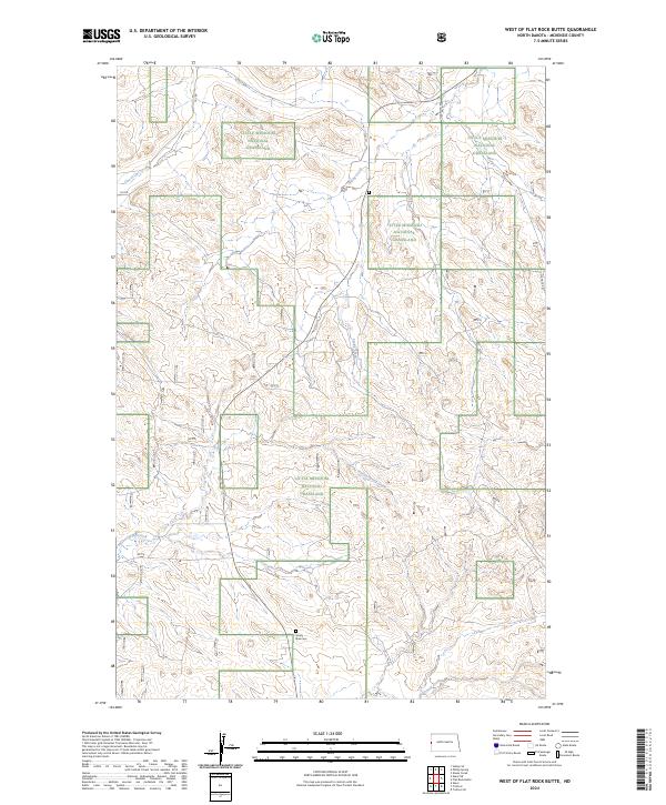 2024 West of Flat Rock Butte2024 Print · USGSMcKenzie County's badlands are captured in this modern survey of the high plains drainage systems. Genealogists and local historians can locate the Sunny Side Cem and trace the winding courses of One-O-One Creek and Poison Spring Creek.
End of results
Showing maps 1-12 of 12
Top cities near Homesteaders Gap
Frequently asked questions
- What are the different types of historical maps available for Homesteaders Gap?
- What is the oldest map of Homesteaders Gap?
- Where can I purchase historical maps of Homesteaders Gap for my home or office?
- Where can I download high-res historical maps of Homesteaders Gap?
- Are there historical topographic maps available for Homesteaders Gap?
- Is there historical aerial imagery available for Homesteaders Gap?
- Where are historical maps of Homesteaders Gap sourced from?