Old Maps of Johnsons Corner, North Dakota for Academic Research
Study the evolution of Johnsons Corner with 11 high-resolution historic maps. Whether you're teaching, researching, or modeling changes in land use, these maps provide essential visual documentation of urban, environmental, and geographic change.
- Analyze long-term change: Track patterns in development, transportation, and natural features.
- Ideal for environmental or urban studies: Support academic projects with primary historical map data.
- Use in the classroom or lab: Educators and researchers rely on these maps to bring historical context to life.
These maps are a powerful tool for teaching, research, and visualizing how Johnsons Corner has changed over the decades.
Johnsons Corner, ND maps
(11)- 1953 Map of Watford City, 1968 Print
 1953 Watford City1968 Print · USGSNorth Dakota's badlands and the Missouri River basin are captured here during the 1950s and 60s as the Garrison Dam changed the landscape. Researchers can trace old rail lines like the Great Northern or find rural outposts such as Grassy Butte and Halliday.3 unique versions available
 - 1957 Map of Watford City
 1957 Watford City1957 Print · USGSWestern North Dakota's landscape is captured here during the mid-fifties as the Missouri River valley undergoes massive change following the creation of Garrison Reservoir. Genealogists and historians can trace dozens of rural schools like Divide School and early settlements such as Arnegard and Grassy Butte.
 - 1965 Map of Johnsons Corner, 1966 Print
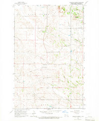 1965 Johnsons Corner1966 Print · USGSMcKenzie County's high plains are documented here in the mid-1960s as the regional energy economy began to shape the landscape. Researchers can trace local lineage at Silent City Cem or Union Cem and locate industrial landmarks like the Blue Butte Oil and Gas Field.
 - 1967 Map of Watford City
 1967 Watford City1967 Print · USGSWestern North Dakota is captured during a period of landscape transformation as the Missouri River valley was reshaped by the new Garrison Reservoir. Genealogists and local historians can trace the foundations of Watford City, find the Elkhorn Ranch Site, or locate rural landmarks like Ziner Butte and Grassy Butte.
 - 1982 Map of Parshall, 1983 Print
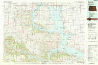 1982 Parshall1983 Print · USGSNorth Dakota's badlands and reservoir shorelines meet during the early eighties, showcasing a landscape shaped by both water and oil. Researchers can trace the development of New Town, locate the Riverview Cem, and explore the extent of the Antelope Oil Field.
 - 1997 Map of Johnsons Corner, 2001 Print
 1997 Johnsons Corner2001 Print · USGSMcKenzie County was undergoing a significant period of energy exploration in the late nineties, balancing cattle ranching with the expanding oil industry. Local historians can trace cemetery locations like Silent City Cem and landforms such as Blue Buttes and Kummer Ridge.
 - 2011 Map of Johnsons Corner, 2011 Print
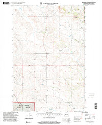
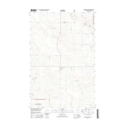
 2011 Johnsons Corner2011 Print · USGSCovers Johnsons Corner, including McKenzie County, United States, and other nearby areas
 - 2014 Map of Johnsons Corner, 2014 Print
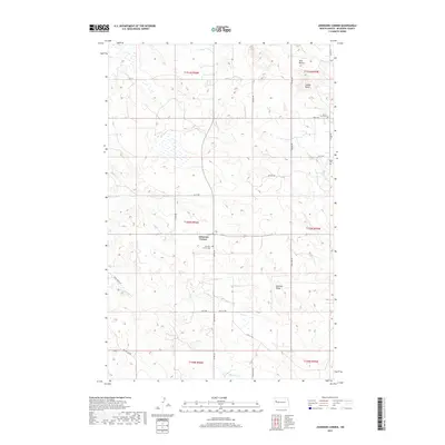
 2014 Johnsons Corner2014 Print · USGSCovers Johnsons Corner, including McKenzie County, United States, and other nearby areas
 - 2017 Map of Johnsons Corner, 2017 Print
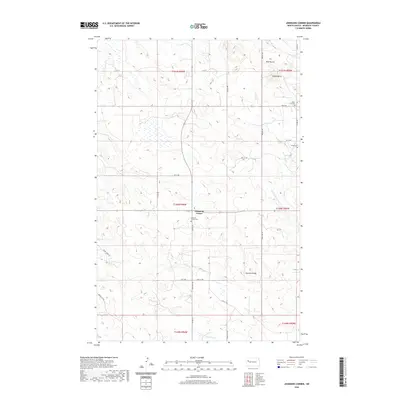
 2017 Johnsons Corner2017 Print · USGSCovers Johnsons Corner, including McKenzie County, United States, and other nearby areas
 - 2020 Map of Johnsons Corner, 2020 Print
 2020 Johnsons Corner2020 Print · USGSCovers Johnsons Corner, including McKenzie County, United States, and other nearby areas
 - 2024 Map of Johnsons Corner, 2024 Print
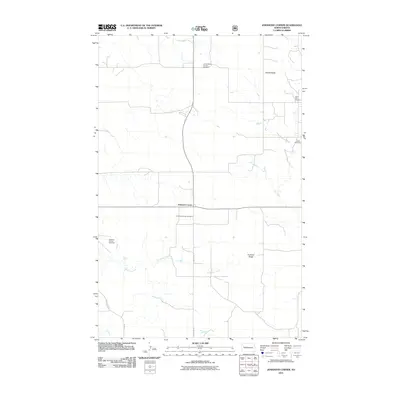
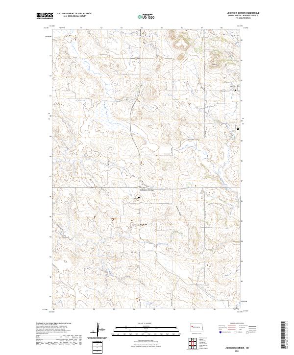 2024 Johnsons Corner2024 Print · USGSNorth Dakota's McKenzie County landscape is documented here in recent years, showing the area around Johnsons Corner. Researchers can trace local burial sites at Silent City Cem and Johnsons Corner Cem or locate regional landmarks like Saddle Butte and the Blue Buttes.
End of results
Showing maps 1-11 of 11
Top cities near Johnsons Corner
Frequently asked questions
- What are the different types of historical maps available for Johnsons Corner?
- What is the oldest map of Johnsons Corner?
- Where can I purchase historical maps of Johnsons Corner for my home or office?
- Where can I download high-res historical maps of Johnsons Corner?
- Are there historical topographic maps available for Johnsons Corner?
- Is there historical aerial imagery available for Johnsons Corner?
- Where are historical maps of Johnsons Corner sourced from?