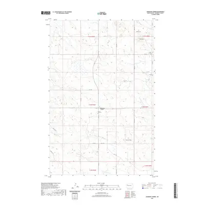
2020 Map of Johnsons Corner
USGS Topo · Published 2020About this map
Johnsons Corner serves as the focal point for this landscape in McKenzie County, where the plains of western North Dakota meet distinctive topographical landmarks. The terrain is defined by the prominent Blue Buttes and Saddle Butte to the north, while Kummer Ridge rises in the southeast. This area demonstrates a dispersed pattern of early development, evidenced by three distinct burial grounds: Johnsons Corner Cem, Silent City Cem, and Union Cem. Drainage across the region is facilitated by intermittent watercourses including Northfork Cr, Bear Den Cr, and Dry Cr. The map's road network, featuring routes like Stone Johny Rd and Beaver Crk Rd, follows a rigid section-line grid typical of the Great Plains, illustrating how the rural township system organized the settlement of these Missouri Plateau uplands.
Find a feature on this map
26 named features on this map. Tap any name to fly to it.
Don’t see what you’re looking for? This feature index may not catch every label — zoom into the map to look around manually.
Map Details
Editions of this 2020 Johnsons Corner Map
This is the sole edition of this map. No revisions or reprints were ever made.
Other maps of this area

1953 · Watford City
USGS Topo · 1:250,000

1957 · Watford City
USGS Topo · 1:250,000
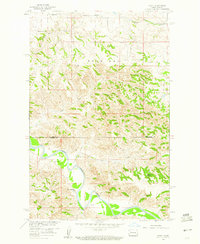
1959 · Croff
USGS Topo · 1:24,000
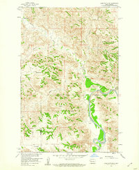
1959 · Lone Butte NE
USGS Topo · 1:24,000
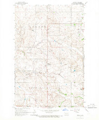
1965 · Keene
USGS Topo · 1:24,000
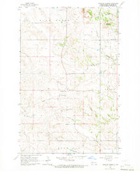
1965 · Johnsons Corner
USGS Topo · 1:24,000
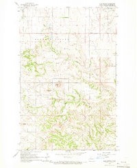
1965 · Blue Buttes
USGS Topo · 1:24,000
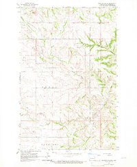
1965 · Blue Buttes SE
USGS Topo · 1:24,000

1967 · Watford City
USGS Topo · 1:250,000
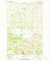
1970 · Figure 4 Ranch
USGS Topo · 1:24,000