Old Maps of Ruso, North Dakota for Metal Detecting
Plan your next treasure hunt with 11 historic maps of Ruso. Find old homesites, ghost towns, trails, and gathering spots that may be lost to time — perfect for identifying promising metal detecting locations.
- Locate forgotten sites: Uncover places like long-lost settlements, abandoned rail lines, or gathering spots.
- Plan better hunts: Use map overlays combined with LiDAR or satellite views to narrow in on historically rich areas.
- Made for detectorists: Thousands of hobbyists use these maps to discover relics, coins, and hidden history.
Use these historic maps to boost your research and find new opportunities beneath the surface of Ruso.
Ruso, ND maps
(11)- 1929 Map of Kongsberg
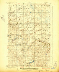 1929 Kongsberg1929 Print · USGSThe North Dakota prairie near the McHenry and McLean county line is shown here in the late twenties as a network of rail-bound villages and rural schools. You can trace the Soo Line railroad to Kongsberg or locate family-named landmarks like Woodhill Sch and Dogden Butte.2 unique versions available
 - 1954 Map of McClusky, 1968 Print
 1954 McClusky1968 Print · USGSCentral North Dakota was undergoing a profound transformation in the fifties as the newly formed Lake Sakakawea reshaped the Missouri River valley. Genealogists and historians can trace rail-town development along the Soo Line and locate historic markers like Garrison Dam or the Lewis and Clark Trail.3 unique versions available
 - 1958 Map of McClusky
 1958 McClusky1958 Print · USGSCentral North Dakota was undergoing a profound change in the late fifties as the Garrison Reservoir filled behind its massive new dam. Trace the early layout of Riverdale, the Lewis and Clark Trail, and the vanishing rail stops of the Northern Pacific.
 - 1974 Map of Kongsberg SW, 1975 Print
 1974 Kongsberg SW1975 Print · USGSIn the mid-1970s, this McLean County landscape shows the stark reality of prairie farming and rail-side life. Genealogists and historians can trace the precise layout of Ruso and the surrounding agricultural tracts that defined this region of North Dakota.
 - 1979 Map of Drake, 1980 Print
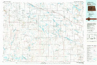 1979 Drake1980 Print · USGSCentral North Dakota in the late seventies reveals a landscape of prairie potholes and developing water infrastructure. Trace the rail-fed growth of Drake and Anamoose or locate rural landmarks like the McClusky Canal and Lincoln Valley.
 - 1981 Map of Ruso, 1982 Print
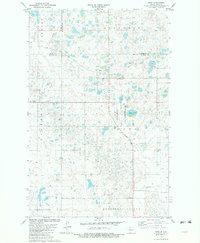 1981 Ruso1982 Print · USGSThe North Dakota prairie near the McLean and McHenry county borders is captured here in the early eighties, showcasing a landscape of glacial potholes and conservation lands. Genealogists and local historians can locate Ruso, the Ruso Cemetery, and rural sites like Bauer and Boozinny along the Soo Line rail corridor.
 - 2011 Map of Ruso, 2011 Print
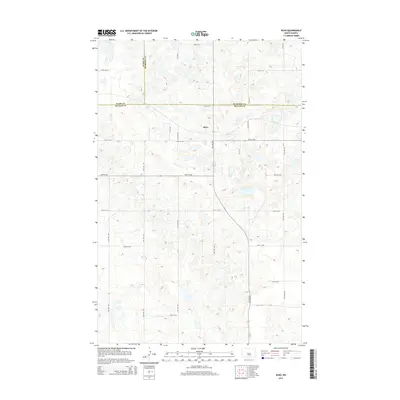
 2011 Ruso2011 Print · USGSCovers Ruso, including Ward County, McHenry County, and other nearby areas
 - 2014 Map of Ruso, 2014 Print
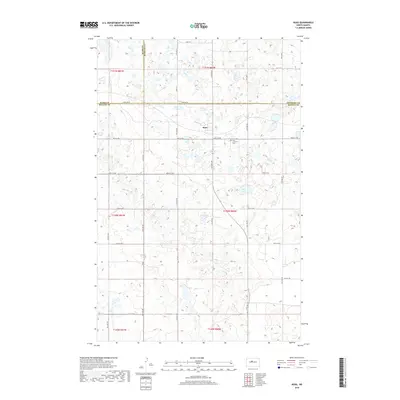
 2014 Ruso2014 Print · USGSCovers Ruso, including Ward County, McHenry County, and other nearby areas
 - 2018 Map of Ruso, 2018 Print
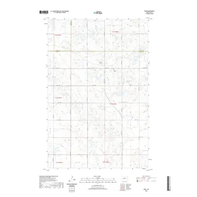
 2018 Ruso2018 Print · USGSCovers Ruso, including Ward County, McHenry County, and other nearby areas
 - 2020 Map of Ruso, 2020 Print
 2020 Ruso2020 Print · USGSCovers Ruso, including Ward County, McHenry County, and other nearby areas
 - 2024 Map of Ruso, 2024 Print
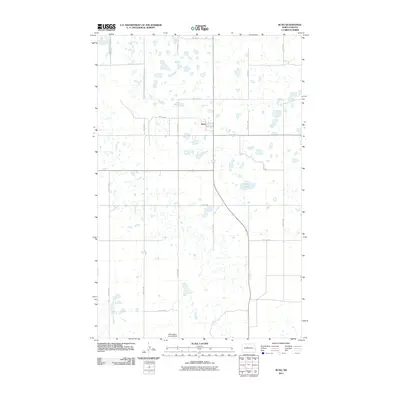
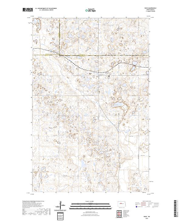 2024 Ruso2024 Print · USGSNorth Dakota's prairie potholes and county line intersections are captured in this recent survey. Local historians can trace the small settlement of Ruso and its nearby Ruso Lutheran Cem alongside conserved wetlands like Otis Lake.
End of results
Showing maps 1-11 of 11
Top cities near Ruso
Frequently asked questions
- What are the different types of historical maps available for Ruso?
- What is the oldest map of Ruso?
- Where can I purchase historical maps of Ruso for my home or office?
- Where can I download high-res historical maps of Ruso?
- Are there historical topographic maps available for Ruso?
- Is there historical aerial imagery available for Ruso?
- Where are historical maps of Ruso sourced from?