Old Maps of Underwood, North Dakota for Academic Research
Study the evolution of Underwood with 9 high-resolution historic maps. Whether you're teaching, researching, or modeling changes in land use, these maps provide essential visual documentation of urban, environmental, and geographic change.
- Analyze long-term change: Track patterns in development, transportation, and natural features.
- Ideal for environmental or urban studies: Support academic projects with primary historical map data.
- Use in the classroom or lab: Educators and researchers rely on these maps to bring historical context to life.
These maps are a powerful tool for teaching, research, and visualizing how Underwood has changed over the decades.
Underwood, ND maps
(9)- 1949 Map of Washburn
 1949 Washburn1949 Print · USGSMcLean County is captured here in the late 1940s as the river economy met the railroad age along the Missouri River. Family historians can trace numerous rural school sites like Weller School No 1 and the path of the Lewis and Clark Trail.2 unique versions available
 - 1954 Map of McClusky, 1968 Print
 1954 McClusky1968 Print · USGSCentral North Dakota was undergoing a profound transformation in the fifties as the newly formed Lake Sakakawea reshaped the Missouri River valley. Genealogists and historians can trace rail-town development along the Soo Line and locate historic markers like Garrison Dam or the Lewis and Clark Trail.3 unique versions available
 - 1958 Map of McClusky
 1958 McClusky1958 Print · USGSCentral North Dakota was undergoing a profound change in the late fifties as the Garrison Reservoir filled behind its massive new dam. Trace the early layout of Riverdale, the Lewis and Clark Trail, and the vanishing rail stops of the Northern Pacific.
 - 1961 Map of Underwood, 1963 Print
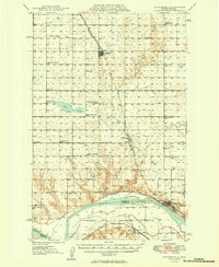
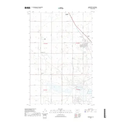
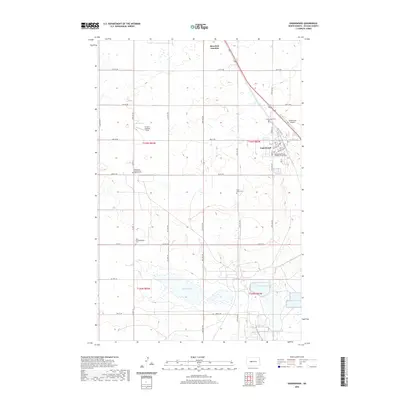
 1961 Underwood1963 Print · USGSMcLean County prairie life comes into focus during the early sixties as the Missouri River Basin project moves forward. Genealogists and local historians can locate Underwood Cem, the community Fairground, and the rail hub at Riverdale Junction.2 unique versions available
 - 2011 Map of Underwood, 2011 Print
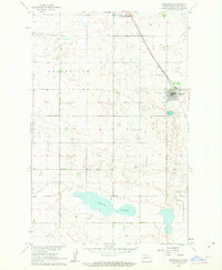
 2011 Underwood2011 Print · USGSCovers Underwood, including Riverdale Junction, McLean County, and other nearby areas
 - 2014 Map of Underwood, 2014 Print
 2014 Underwood2014 Print · USGSCovers Underwood, including Riverdale Junction, McLean County, and other nearby areas
 - 2018 Map of Underwood, 2018 Print
 2018 Underwood2018 Print · USGSCovers Underwood, including Riverdale Junction, McLean County, and other nearby areas
 - 2020 Map of Underwood, 2020 Print
 2020 Underwood2020 Print · USGSCovers Underwood, including Riverdale Junction, McLean County, and other nearby areas
 - 2024 Map of Underwood, 2024 Print
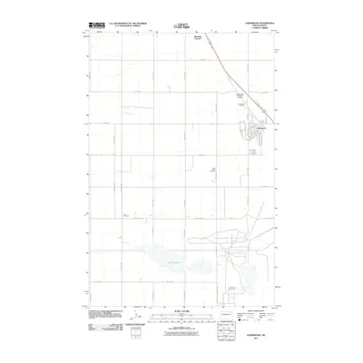
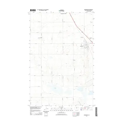
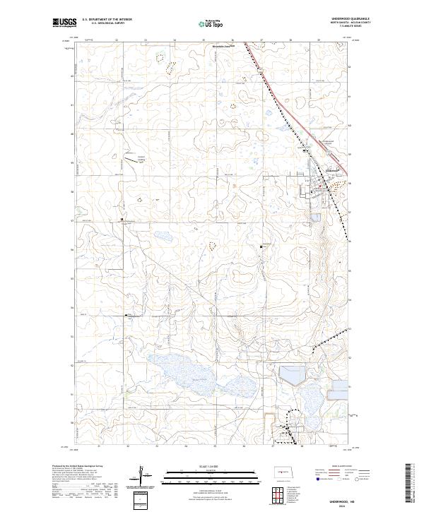 2024 Underwood2024 Print · USGSUnderwood and its surrounding McLean County prairie appear here in the early twenty-first century as a landscape of structured farmland and traditional community hubs. Genealogists can trace several local burials including Saint Johns Cem and the Alexander Presbyterian Church Cem.
End of results
Showing maps 1-9 of 9
Top cities near Underwood
Frequently asked questions
- What are the different types of historical maps available for Underwood?
- What is the oldest map of Underwood?
- Where can I purchase historical maps of Underwood for my home or office?
- Where can I download high-res historical maps of Underwood?
- Are there historical topographic maps available for Underwood?
- Is there historical aerial imagery available for Underwood?
- Where are historical maps of Underwood sourced from?