Old Maps of Morton County, North Dakota
Explore 69 old maps of Morton County, spanning from 1907 to today. These high-resolution historic maps reveal how streets, neighborhoods, landmarks, and natural features evolved over time — perfect for genealogy, metal detecting, research, and local history exploration.
What you can do with these maps:
- See how Morton County changed over time: Compare historical maps to modern-day views to trace roads, homesites, rail lines & more.
- View detailed metadata: Each map includes creators, publishers, year, scale, and archive source.
- Overlay maps with satellite & LiDAR: Visualize the past alongside modern tools to explore terrain & human change.
- Trusted historical sources: Maps sourced from the USGS, Library of Congress, and other archives.
- Access maps your way: View online, download high-res files, or order prints for personal or research use.
Start exploring old maps of Morton County to uncover forgotten places, hidden landmarks, and the deep history beneath your feet.
Morton County, ND maps
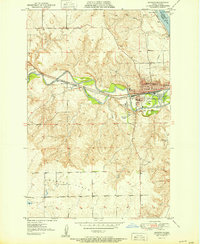
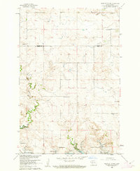
(69)- 1907 Map of Bismarck
 1907 Bismarck1907 Print · USGSCovers Morton County, including Bismarck, Mandan, and other nearby areas2 unique versions available
 - 1938 Map of Heart Butte
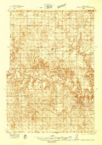 1938 Heart Butte1938 Print · USGSCovers Morton County, including Wollman Ranch Hutterite Colony, Johnson Ford, and other nearby areas
 - 1944 Map of Heart Butte
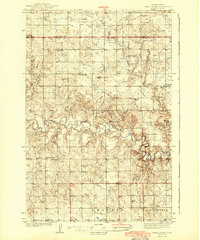 1944 Heart Butte1944 Print · USGSCovers Morton County, including Wollman Ranch Hutterite Colony, Johnson Ford, and other nearby areas
 - 1950 Map of Bismarck
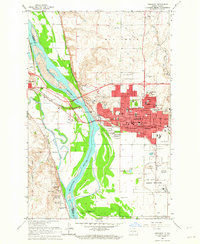
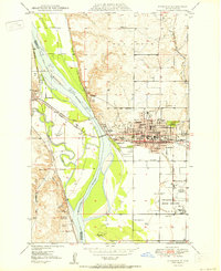 1950 Bismarck1950 Print · USGSCovers Morton County, including Bismarck, Mandan, and other nearby areas
 - 1951 Map of Bismarck
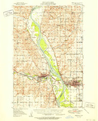 1951 Bismarck1951 Print · USGSCovers Morton County, including Bismarck, Mandan, and other nearby areas
 - 1951 Map of Mandan
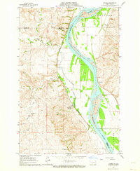
 1951 Mandan1951 Print · USGSCovers Morton County, including Mandan, Rock Haven, and other nearby areas
 - 1953 Map of Dickinson, 1968 Print
 1953 Dickinson1968 Print · USGSCovers Morton County, including Dickinson, Bowman, and other nearby areas2 unique versions available
 - 1954 Map of Bismarck, 1967 Print
 1954 Bismarck1967 Print · USGSCovers Morton County, including Bismarck, Mandan, and other nearby areas2 unique versions available
 - 1957 Map of Dickinson
 1957 Dickinson1957 Print · USGSCovers Morton County, including Dickinson, Bowman, and other nearby areas
 - 1958 Map of Bismarck
 1958 Bismarck1958 Print · USGSCovers Morton County, including Bismarck, Mandan, and other nearby areas
 - 1960 Map of North Almont, 1961 Print
 1960 North Almont1961 Print · USGSCovers Morton County, including United States, North Dakota, and other nearby areas
 - 1960 Map of Dengate, 1961 Print
 1960 Dengate1961 Print · USGSCovers Morton County, including Dengate, United States, and other nearby areas2 unique versions available
 - 1960 Map of New Salem, 1961 Print
 1960 New Salem1961 Print · USGSCovers Morton County, including New Salem, United States, and other nearby areas2 unique versions available
 - 1960 Map of Glen Ullin, 1962 Print
 1960 Glen Ullin1962 Print · USGSCovers Morton County, including Glen Ullin, United States, and other nearby areas2 unique versions available
 - 1960 Map of Heart Butte NW, 1962 Print
 1960 Heart Butte NW1962 Print · USGSCovers Morton County, including Grant County, United States, and other nearby areas
 - 1960 Map of Clark Butte NE, 1962 Print
 1960 Clark Butte NE1962 Print · USGSCovers Morton County, including Stark County, Grant County, and other nearby areas
 - 1960 Map of Heart Butte, 1962 Print
 1960 Heart Butte1962 Print · USGSCovers Morton County, including Grant County, United States, and other nearby areas
 - 1962 Map of Sugarloaf Butte, 1963 Print
 1962 Sugarloaf Butte1963 Print · USGSCovers Morton County, including Burleigh County, Emmons County, and other nearby areas
 - 1962 Map of Schmidt, 1963 Print
 1962 Schmidt1963 Print · USGSCovers Morton County, including Schmidt, Burleigh County, and other nearby areas2 unique versions available
 - 1962 Map of Bismarck, 1964 Print
 1962 Bismarck1964 Print · USGSCovers Morton County, including Bismarck, Mandan, and other nearby areas3 unique versions available
 - 1962 Map of Harmon, 1964 Print
 1962 Harmon1964 Print · USGSCovers Morton County, including Double Ditch Indian Village, Harmon, and other nearby areas2 unique versions available
 - 1962 Map of Mandan, 1964 Print
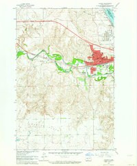 1962 Mandan1964 Print · USGSCovers Morton County, including Mandan, Rock Haven, and other nearby areas2 unique versions available
 - 1968 Map of Cannon Ball, 1971 Print
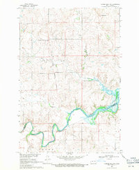
 1968 Cannon Ball1971 Print · USGSCovers Morton County, including Cannonball District, Cannon Ball, and other nearby areas2 unique versions available
 - 1968 Map of Cannon Ball NW, 1971 Print
 1968 Cannon Ball NW1971 Print · USGSCovers Morton County, including Cannonball District, Cannon Ball, and other nearby areas
 - 1970 Map of Bluegrass, 1972 Print
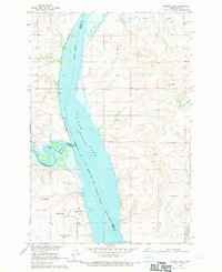
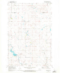 1970 Bluegrass1972 Print · USGSCovers Morton County, including Bluegrass, Oliver County, and other nearby areas
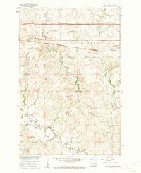
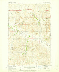
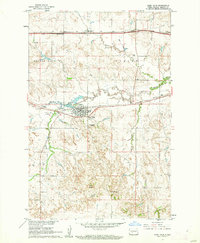
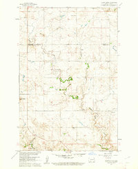
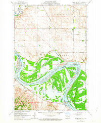
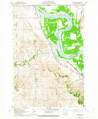
Showing maps 1-25 of 69
Top cities of Morton County
- Mandan historical maps
- New Salem historical maps
- Glen Ullin historical maps
- Hebron historical maps
- Flasher historical maps
- Almont historical maps
Frequently asked questions
- What are the different types of historical maps available for Morton County?
- What is the oldest map of Morton County?
- Where can I purchase historical maps of Morton County for my home or office?
- Where can I download high-res historical maps of Morton County?
- Are there historical topographic maps available for Morton County?
- Is there historical aerial imagery available for Morton County?
- Where are historical maps of Morton County sourced from?