Old Maps of Petersburg, North Dakota for Hiking & Exploration
Hike through history with 21 historic maps of Petersburg. Explore old trails, ghost towns, and forgotten backroads — perfect for outdoor adventurers and local explorers.
- Rediscover forgotten places: Map out old mining camps, roads, and footpaths that no longer exist on modern maps.
- Layer with modern tools: Combine with LiDAR or satellite views to plan hikes through historical terrain.
- Made for exploration: Popular among hikers, overlanders, and local history lovers.
Use these maps to find adventure and explore the hidden past of Petersburg.
Petersburg, ND maps
(21)- 1952 Map of Thief River Falls, 1967 Print
 1952 Thief River Falls1967 Print · USGSThe Red River Valley's agricultural and conservation landscape is captured in the mid-1950s, detailing a web of rail lines and international border crossings. Researchers can trace family roots in towns like Thief River Falls, locate the State School for Blind, and survey landmarks like the Agassiz National Wildlife Refuge.2 unique versions available
 - 1953 Map of Devils Lake, 1968 Print
 1953 Devils Lake1968 Print · USGSNorth Dakota's northern plains are captured here in the mid-fifties, showing a landscape of rail-fed grain elevators and prairie wetlands. Genealogists can locate family landmarks like Rose Hill School, Hurricane Lake Church, and the Turtle Mountain Indian Reservation.3 unique versions available
 - 1956 Map of Thief River Falls
 1956 Thief River Falls1956 Print · USGSThe Red River Valley in the mid-1950s is captured here as a sprawling network of rail corridors and wildlife refuges along the Canadian border. Trace the vanished transport routes of the Dismantled railroad and Abandoned railroad or locate local landmarks like the Herrick Elevator and State School for Blind.
 - 1956 Map of Devils Lake
 1956 Devils Lake1956 Print · USGSNorthern North Dakota is shown at a mid-century peak of rail-driven agriculture, where the Soo Line and Great Northern railroads cross the prairie. Trace the borders of the Turtle Mountain Indian Reservation and locate local landmarks like Rose Hill School or Camp Grafton.
 - 1957 Map of Thief River Falls
 1957 Thief River Falls1957 Print · USGSThe Red River Valley in the mid-fifties is captured here as a thriving network of rail towns and conservation lands. Genealogists and historians can trace family roots through settlements like Grafton, Pembina, and Hallock, or locate landmarks such as the State School for Blind and the Great Northern RR corridor.
 - 1967 Map of Thief River Falls
 1967 Thief River Falls1967 Print · USGSThe Red River Valley and the international border come alive in the 1960s, showing a landscape shaped by major rail lines and river commerce. Genealogists and historians can trace the paths of the Great Northern and Soo Line through towns like Thief River Falls, Grafton, and Hallock.
 - 1971 Map of Michigan East, 1974 Print
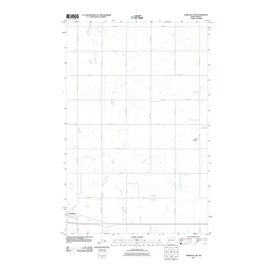
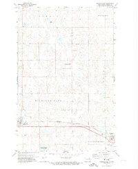 1971 Michigan East1974 Print · USGSNelson County at the start of the 1970s shows a landscape of rail-connected towns and protected wetlands. Trace the Northern rail line between Michigan and Petersburg or find family roots at the Michigan Cem.
 - 1971 Map of Fordville SW, 1974 Print
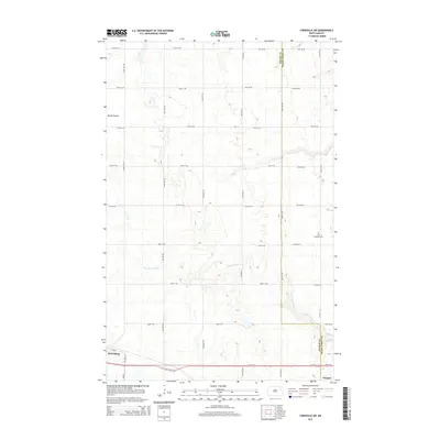
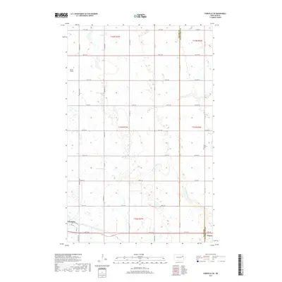
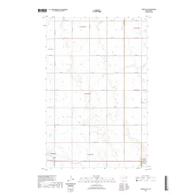
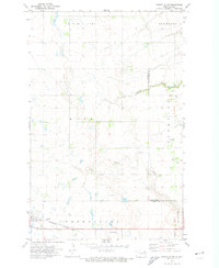 1971 Fordville SW1974 Print · USGSNelson and Grand Forks counties appear here in the early 1970s, showing a prairie landscape defined by the Burlington Northern rail line. Researchers can trace the layout of Petersburg, find the St Andrews Cem, and follow the winding path of Skunk Coulee.
 - 1985 Map of Grafton
 1985 Grafton1985 Print · USGSThe Red River Valley at the mid-eighties shows a landscape of deep-rooted agriculture and rail-side towns. Genealogists and historians can trace family land near Grafton, Minto, or Lankin, and locate conservation landmarks like the Ardoch National Wildlife Refuge.2 unique versions available
 - 1985 Map of Devils Lake
 1985 Devils Lake1985 Print · USGSThe Ramsey County lake region is captured here in the mid-1980s as a vital hub of wildlife management and grain transport. Researchers can trace the sprawling boundaries of the Fort Totten Indian Reservation and locate local landmarks like Lake Region Jr College and Whitman Dam.
 - 1993 Map of Devils Lake, 1994 Print
 1993 Devils Lake1994 Print · USGSThe Ramsey County prairie and the shores of Devils Lake are captured here during the 1990s as the region's agricultural and conservation landscapes were maturing. Genealogists and researchers can trace the rail-side growth of Lakota and Michigan or locate family lands near Camp Grafton and the Sullys Hills N W R.
 - 2011 Map of Michigan East, 2011 Print
 2011 Michigan East2011 Print · USGSCovers Petersburg, including Michigan City, Nelson County, and other nearby areas
 - 2011 Map of Fordville SW, 2011 Print
 2011 Fordville SW2011 Print · USGSCovers Petersburg, including Niagara, Grand Forks County, and other nearby areas
 - 2014 Map of Fordville SW, 2014 Print
 2014 Fordville SW2014 Print · USGSCovers Petersburg, including Niagara, Grand Forks County, and other nearby areas
 - 2014 Map of Michigan East, 2014 Print
 2014 Michigan East2014 Print · USGSCovers Petersburg, including Michigan City, Nelson County, and other nearby areas
 - 2017 Map of Michigan East, 2017 Print
 2017 Michigan East2017 Print · USGSCovers Petersburg, including Michigan City, Nelson County, and other nearby areas
 - 2017 Map of Fordville SW, 2017 Print
 2017 Fordville SW2017 Print · USGSCovers Petersburg, including Niagara, Grand Forks County, and other nearby areas
 - 2020 Map of Fordville SW, 2020 Print
 2020 Fordville SW2020 Print · USGSCovers Petersburg, including Niagara, Grand Forks County, and other nearby areas
 - 2020 Map of Michigan East, 2020 Print
 2020 Michigan East2020 Print · USGSCovers Petersburg, including Michigan City, Nelson County, and other nearby areas
 - 2024 Map of Fordville SW, 2024 Print
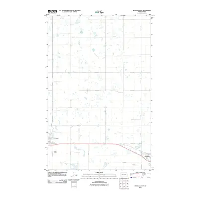
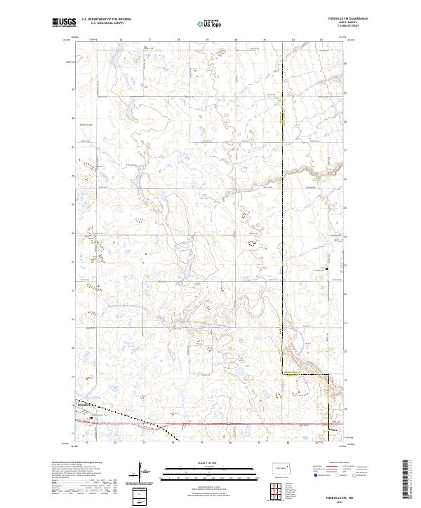 2024 Fordville SW2024 Print · USGSThe Nelson and Grand Forks county line comes alive here in the 2020s, showing the enduring grid of the North Dakota prairie. Genealogists and local historians can trace the town sites of Petersburg and Niagara or locate burials at Saint Andrews Cem.
 - 2024 Map of Michigan East, 2024 Print
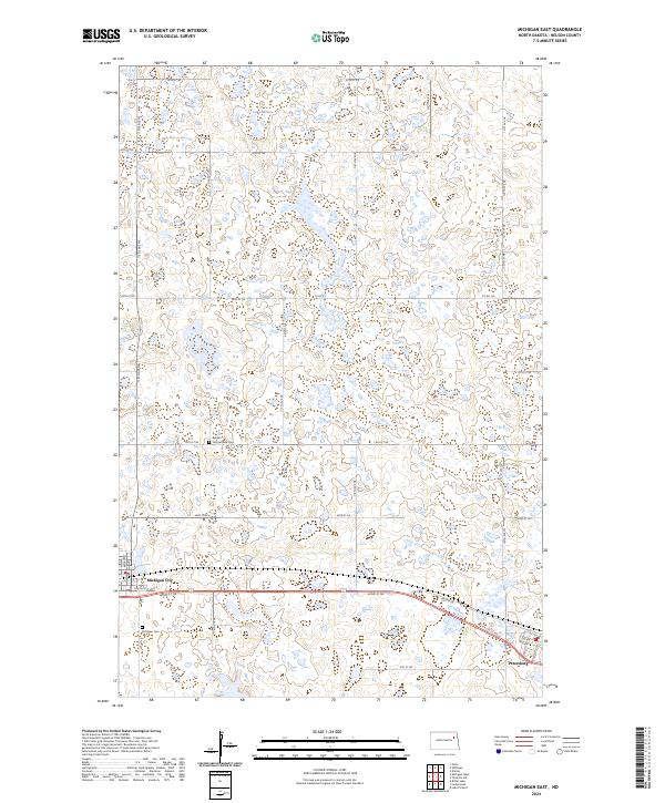 2024 Michigan East2024 Print · USGSNelson County in the early twenty-first century remains a landscape of prairie potholes and coordinated agriculture between Michigan City and Petersburg. Researchers can trace local lineage at the Behnke - Sommerfield Cem or explore the wetlands of the Nelson County Waterfowl Production Area.
End of results
Showing maps 1-21 of 21
Top cities near Petersburg
- Michigan City historical maps
- Fordville historical maps
- Dahlen historical maps
- Niagara historical maps
- Logan Center historical maps
Frequently asked questions
- What are the different types of historical maps available for Petersburg?
- What is the oldest map of Petersburg?
- Where can I purchase historical maps of Petersburg for my home or office?
- Where can I download high-res historical maps of Petersburg?
- Are there historical topographic maps available for Petersburg?
- Is there historical aerial imagery available for Petersburg?
- Where are historical maps of Petersburg sourced from?