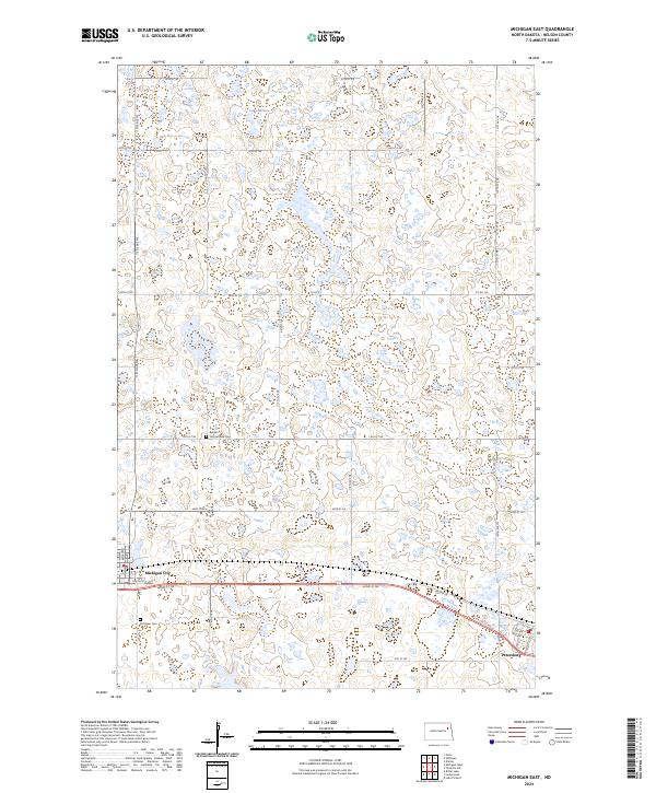
2024 Map of Michigan East
USGS Topo · Published 2024About this map
Michigan City and Petersburg anchor the southern corridor of this Nelson County landscape, separated by a straight stretch of highway and rail. The terrain is defined by a dense concentration of wetlands and small basins characteristic of the region's glacial prairie pothole ecology, with Lake Miller situated in the northern reaches. Much of this land is dedicated to conservation, notably within the Nelson County Waterfowl Production Area and the Nelson County WPA to the south.
Find a feature on this map
34 named features on this map. Tap any name to fly to it.
Don’t see what you’re looking for? This feature index may not catch every label — zoom into the map to look around manually.
Map Details
Editions of this 2024 Michigan East Map
This is the sole edition of this map. No revisions or reprints were ever made.
Other maps of this area

1939 · Niagara
USGS Topo · 1:62,500

1942 · McVille
USGS Topo · 1:62,500

1952 · Grand Forks
USGS Topo · 1:250,000

1952 · Thief River Falls
USGS Topo · 1:250,000

1952 · New Rockford
USGS Topo · 1:250,000

1953 · Devils Lake
USGS Topo · 1:250,000

1956 · New Rockford
USGS Topo · 1:250,000

1956 · Thief River Falls
USGS Topo · 1:250,000

1956 · Devils Lake
USGS Topo · 1:250,000

1956 · Grand Forks
USGS Topo · 1:250,000