Old Maps of Prairie Junction, Parshall for Academic Research
Study the evolution of Prairie Junction with 8 high-resolution historic maps. Whether you're teaching, researching, or modeling changes in land use, these maps provide essential visual documentation of urban, environmental, and geographic change.
- Analyze long-term change: Track patterns in development, transportation, and natural features.
- Ideal for environmental or urban studies: Support academic projects with primary historical map data.
- Use in the classroom or lab: Educators and researchers rely on these maps to bring historical context to life.
These maps are a powerful tool for teaching, research, and visualizing how Prairie Junction has changed over the decades.
Prairie Junction, Parshall maps
(8)- 1954 Map of McClusky, 1968 Print
 1954 McClusky1968 Print · USGSCentral North Dakota was undergoing a profound transformation in the fifties as the newly formed Lake Sakakawea reshaped the Missouri River valley. Genealogists and historians can trace rail-town development along the Soo Line and locate historic markers like Garrison Dam or the Lewis and Clark Trail.3 unique versions available
 - 1958 Map of McClusky
 1958 McClusky1958 Print · USGSCentral North Dakota was undergoing a profound change in the late fifties as the Garrison Reservoir filled behind its massive new dam. Trace the early layout of Riverdale, the Lewis and Clark Trail, and the vanishing rail stops of the Northern Pacific.
 - 1980 Map of Wabek, 1981 Print
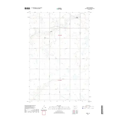
 1980 Wabek1981 Print · USGSMountrail County at the start of the 1980s reveals a rural landscape defined by the Soo Line and the Fort Berthold Indian Reservation Boundary. Genealogists and local historians can trace the Lutheran Cem, Townhall, and the small settlement of Wabek.
 - 2011 Map of Wabek, 2011 Print
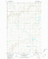
 2011 Wabek2011 Print · USGSCovers Prairie Junction, including Parshall, Wabek, and other nearby areas
 - 2014 Map of Wabek, 2014 Print
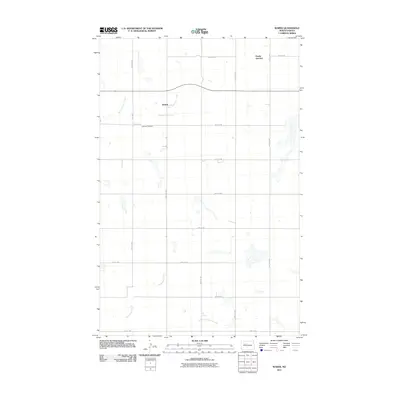
 2014 Wabek2014 Print · USGSCovers Prairie Junction, including Parshall, Wabek, and other nearby areas
 - 2018 Map of Wabek, 2018 Print
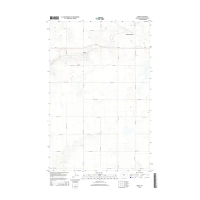
 2018 Wabek2018 Print · USGSCovers Prairie Junction, including Parshall, Wabek, and other nearby areas
 - 2020 Map of Wabek, 2020 Print
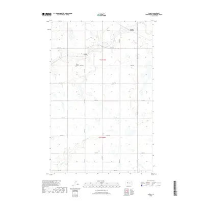
 2020 Wabek2020 Print · USGSCovers Prairie Junction, including Parshall, Wabek, and other nearby areas
 - 2024 Map of Wabek, 2024 Print
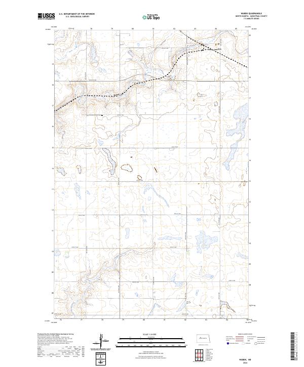 2024 Wabek2024 Print · USGSMountrail County in the modern era remains a landscape of prairie potholes and agricultural section lines. Genealogists and local historians can trace the community around Wabek and Prairie Junction, or locate the First Lutheran Wabek Cem.
End of results
Showing maps 1-8 of 8
Top cities near Prairie Junction
- Parshall historical maps
- Parshall historical maps
- Plaza historical maps
- Makoti historical maps
- Ryder historical maps
Frequently asked questions
- What are the different types of historical maps available for Prairie Junction?
- What is the oldest map of Prairie Junction?
- Where can I purchase historical maps of Prairie Junction for my home or office?
- Where can I download high-res historical maps of Prairie Junction?
- Are there historical topographic maps available for Prairie Junction?
- Is there historical aerial imagery available for Prairie Junction?
- Where are historical maps of Prairie Junction sourced from?