2020s Maps of Rugby, North Dakota
Explore 6 historic maps of Rugby from the 2020s. These maps offer a rare glimpse into what life looked like during the 2020s — showing old roads, neighborhoods, homes, and landmarks that have changed or disappeared over time.
Whether you're researching your family's past, planning a metal detecting trip, or studying how Rugby's landscape evolved across the 2020s, these high-resolution maps are a powerful tool for exploring the history of this region.
- Focus on a specific era: All maps on this page are from the 2020s, giving you a focused view of this time period.
- See what’s changed: Compare century-old streets, trails, and buildings to today's modern landscape using overlays and satellite layers.
- Research with precision: Use these maps for genealogy, historical research, land use analysis, or educational projects.
- View, download, or print: Maps are fully viewable online in high resolution, and can be downloaded or printed for your own records.
Start exploring Rugby's history through authentic maps from the 2020s. This is your window into the past.
Rugby, ND maps
(6)- 2020 Map of Tunbridge, 2020 Print
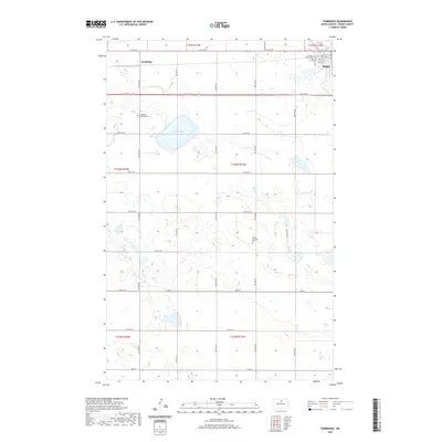 2020 Tunbridge2020 Print · USGSCovers Rugby, including Tunbridge, Pierce County, and other nearby areas
 - 2020 Map of Rugby NW, 2020 Print
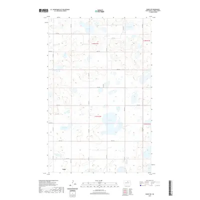 2020 Rugby NW2020 Print · USGSCovers Rugby, including Pierce County, United States, and other nearby areas
 - 2020 Map of Rugby, 2020 Print
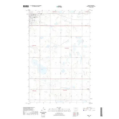 2020 Rugby2020 Print · USGSCovers Rugby, including Pierce County, United States, and other nearby areas
 - 2024 Map of Tunbridge, 2024 Print
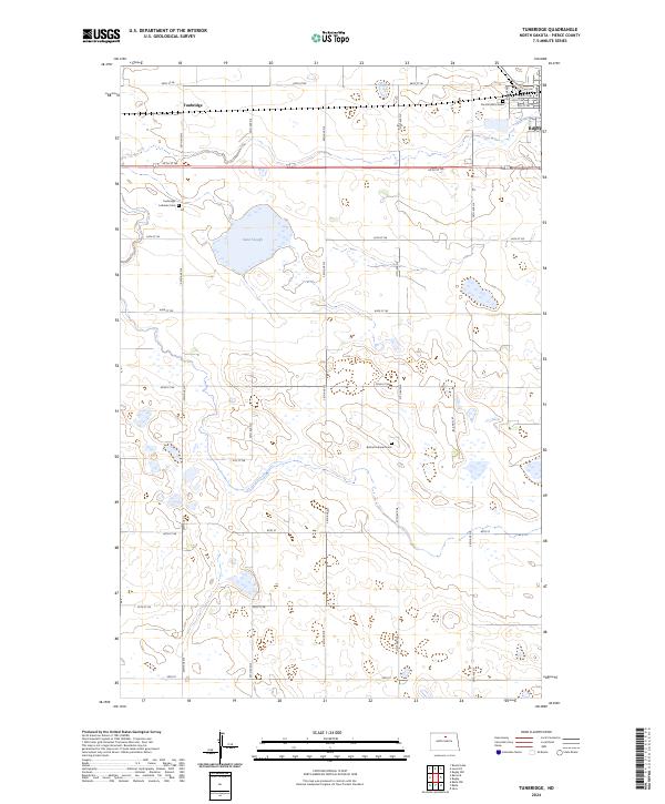 2024 Tunbridge2024 Print · USGSPierce County’s prairie pothole region is documented in this recent survey, showcasing the rural landscapes and wetland habitats of central North Dakota. Researchers can locate family landmarks such as Persilla Watts Cem and Tunbridge Lutheran Cem or explore the boundaries of Rugby.
 - 2024 Map of Rugby, 2024 Print
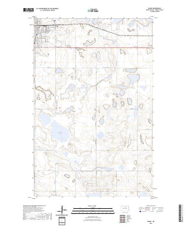 2024 Rugby2024 Print · USGSRugby and the surrounding North Dakota prairie are captured in this recent survey, showcasing the area's mix of civic infrastructure and conservation land. Researchers can pinpoint the Pierce County Courthouse or trace family roots at Little Flower Cem and Highland Lutheran Cem.
 - 2024 Map of Rugby NW, 2024 Print
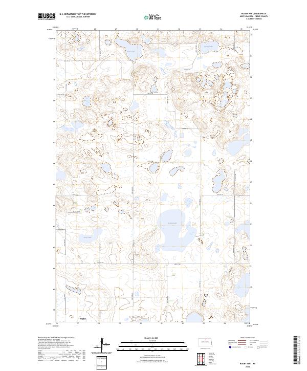 2024 Rugby NW2024 Print · USGSPierce County wetlands and the northern reaches of the city of Rugby are documented in this recent survey. Researchers can trace the protected waters of the Pierce County Waterfowl Production Area and the shores of Goose Lake and Soap Lake.
End of results
Showing maps 1-6 of 6
Top cities near Rugby
Frequently asked questions
- What are the different types of historical maps available for Rugby?
- What is the oldest map of Rugby?
- Where can I purchase historical maps of Rugby for my home or office?
- Where can I download high-res historical maps of Rugby?
- Are there historical topographic maps available for Rugby?
- Is there historical aerial imagery available for Rugby?
- Where are historical maps of Rugby sourced from?