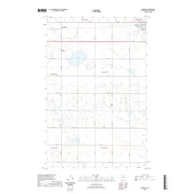
2020 Map of Tunbridge
USGS Topo · Published 2020About this map
Rugby and Tunbridge occupy this pocket of Pierce County, where a grid of rural roads such as 24th Ave NE and 65th St NE organizes the prairie landscape. The area is defined by its Lutheran heritage, visible in the presence of Tunbridge Lutheran Cem and Bethel Lutheran Cem, providing vital clues for genealogists and local historians tracing families of the Northern Plains. The topography is marked by glacial depressions and wetlands, most notably the wide expanse of Sand Slough. While Rugby appears in the northeast corner with its established street grid, including 4th Ave SW and 2nd St SW, the remainder of the map highlights the sparse, agricultural nature of the township divisions. The inclusion of Persilla Watts Cem further anchors the historical record of this rural community in the early 21st century.
Find a feature on this map
33 named features on this map. Tap any name to fly to it.
Don’t see what you’re looking for? This feature index may not catch every label — zoom into the map to look around manually.
Map Details
Editions of this 2020 Tunbridge Map
This is the sole edition of this map. No revisions or reprints were ever made.
Other maps of this area

1953 · Devils Lake
USGS Topo · 1:250,000

1954 · Tunbridge
USGS Topo · 1:24,000

1954 · Berwick
USGS Topo · 1:24,000

1954 · Round Lake
USGS Topo · 1:24,000

1954 · Rugby NW
USGS Topo · 1:24,000

1954 · Leverich
USGS Topo · 1:24,000

1954 · Minot
USGS Topo · 1:250,000

1955 · Rugby
USGS Topo · 1:24,000

1956 · Devils Lake
USGS Topo · 1:250,000

1958 · Minot
USGS Topo · 1:250,000