2000s (21st Century) Maps of Aliceton Township, North Dakota
Explore 10 historic maps of Aliceton Township from the 2000s (21st Century). These maps offer a rare glimpse into what life looked like during the 2000s — showing old roads, neighborhoods, homes, and landmarks that have changed or disappeared over time.
Whether you're researching your family's past, planning a metal detecting trip, or studying how Aliceton Township's landscape evolved across the 2000s, these high-resolution maps are a powerful tool for exploring the history of this region.
- Focus on a specific era: All maps on this page are from the 2000s, giving you a focused view of this time period.
- See what’s changed: Compare century-old streets, trails, and buildings to today's modern landscape using overlays and satellite layers.
- Research with precision: Use these maps for genealogy, historical research, land use analysis, or educational projects.
- View, download, or print: Maps are fully viewable online in high resolution, and can be downloaded or printed for your own records.
Start exploring Aliceton Township's history through authentic maps from the 2000s. This is your window into the past.
Aliceton Township, ND maps
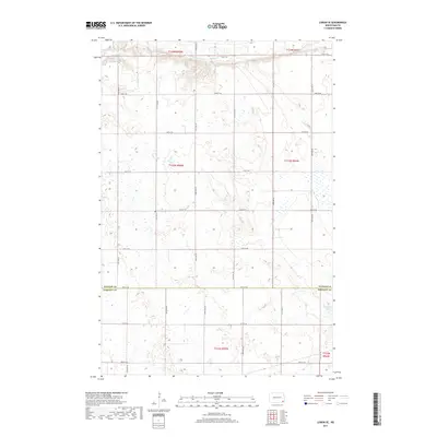
(10)- 2011 Map of Lisbon SE, 2011 Print
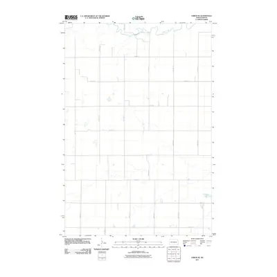 2011 Lisbon SE2011 Print · USGSCovers Aliceton Township, including Willey Township, Milnor Township, and other nearby areas
 - 2011 Map of Lisbon SW, 2011 Print
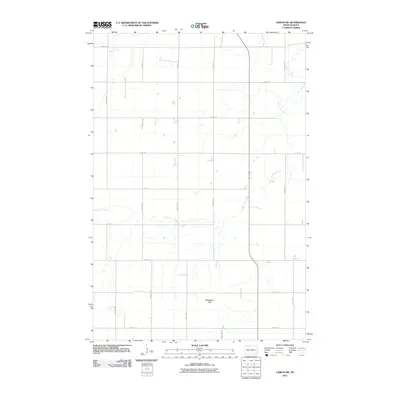 2011 Lisbon SW2011 Print · USGSCovers Aliceton Township, including Gwinner, Willey Township, and other nearby areas
 - 2014 Map of Lisbon SW, 2014 Print
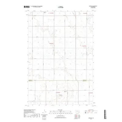
 2014 Lisbon SW2014 Print · USGSCovers Aliceton Township, including Gwinner, Willey Township, and other nearby areas
 - 2014 Map of Lisbon SE, 2014 Print
 2014 Lisbon SE2014 Print · USGSCovers Aliceton Township, including Willey Township, Milnor Township, and other nearby areas
 - 2017 Map of Lisbon SE, 2017 Print
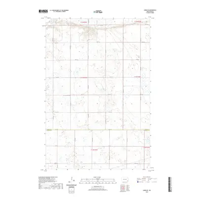
 2017 Lisbon SE2017 Print · USGSCovers Aliceton Township, including Willey Township, Milnor Township, and other nearby areas
 - 2018 Map of Lisbon SW, 2018 Print
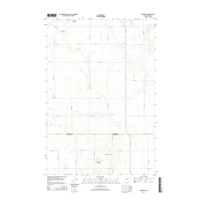
 2018 Lisbon SW2018 Print · USGSCovers Aliceton Township, including Gwinner, Willey Township, and other nearby areas
 - 2020 Map of Lisbon SE, 2020 Print
 2020 Lisbon SE2020 Print · USGSCovers Aliceton Township, including Willey Township, Milnor Township, and other nearby areas
 - 2020 Map of Lisbon SW, 2020 Print
 2020 Lisbon SW2020 Print · USGSCovers Aliceton Township, including Gwinner, Willey Township, and other nearby areas
 - 2024 Map of Lisbon SW, 2024 Print
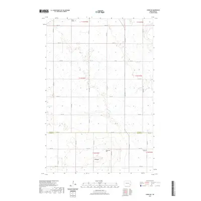
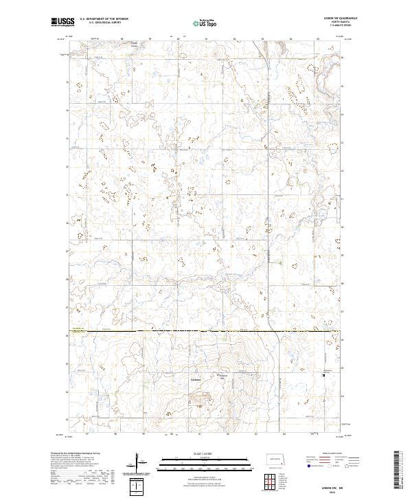 2024 Lisbon SW2024 Print · USGSGwinner and the surrounding prairie lands of Ransom and Sargent counties are shown in this contemporary 2024 survey. Researchers can locate the Whitestone Hill Cem and trace the winding course of Dead Colt Creek through the Whitestone Hills.
 - 2024 Map of Lisbon SE, 2024 Print
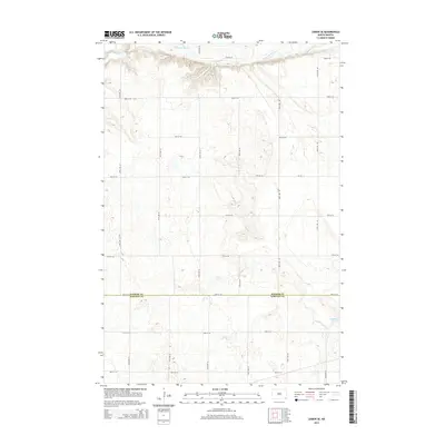
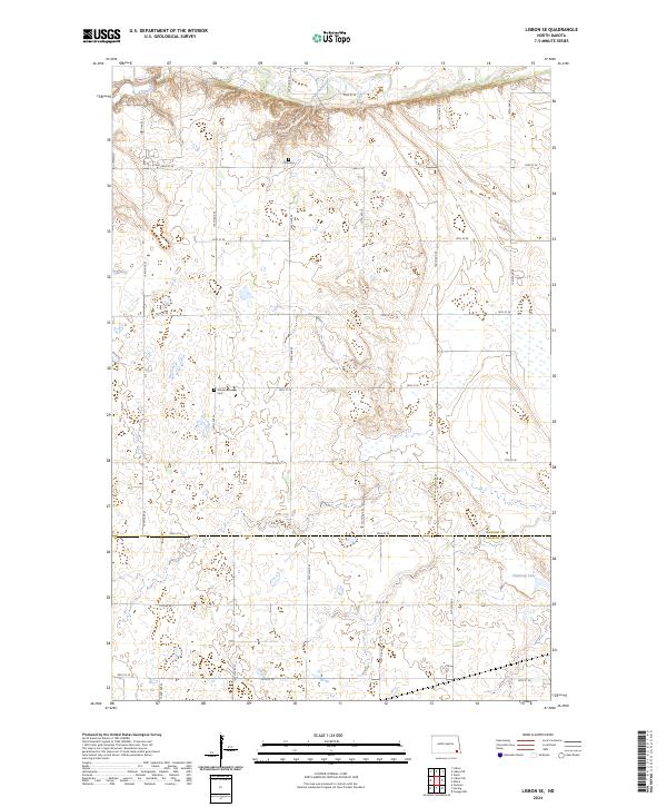 2024 Lisbon SE2024 Print · USGSThe rural prairie of Ransom and Sargent counties is shown here in the current era, where the Sheyenne River dominates the northern valley. Genealogists and local historians can pinpoint the Zion Cem and Aliceton Pioneer Cem among the section roads and wetlands.
End of results
Showing maps 1-10 of 10
Top cities near Aliceton Township
- Lisbon historical maps
- Gwinner historical maps
- Milnor historical maps
- Forman historical maps
- Cogswell historical maps
- Coburn Township historical maps
See more
Frequently asked questions
- What are the different types of historical maps available for Aliceton Township?
- What is the oldest map of Aliceton Township?
- Where can I purchase historical maps of Aliceton Township for my home or office?
- Where can I download high-res historical maps of Aliceton Township?
- Are there historical topographic maps available for Aliceton Township?
- Is there historical aerial imagery available for Aliceton Township?
- Where are historical maps of Aliceton Township sourced from?