2000s (21st Century) Maps of Fort Ransom Township, North Dakota
Explore 20 historic maps of Fort Ransom Township from the 2000s (21st Century). These maps offer a rare glimpse into what life looked like during the 2000s — showing old roads, neighborhoods, homes, and landmarks that have changed or disappeared over time.
Whether you're researching your family's past, planning a metal detecting trip, or studying how Fort Ransom Township's landscape evolved across the 2000s, these high-resolution maps are a powerful tool for exploring the history of this region.
- Focus on a specific era: All maps on this page are from the 2000s, giving you a focused view of this time period.
- See what’s changed: Compare century-old streets, trails, and buildings to today's modern landscape using overlays and satellite layers.
- Research with precision: Use these maps for genealogy, historical research, land use analysis, or educational projects.
- View, download, or print: Maps are fully viewable online in high resolution, and can be downloaded or printed for your own records.
Start exploring Fort Ransom Township's history through authentic maps from the 2000s. This is your window into the past.
Fort Ransom Township, ND maps
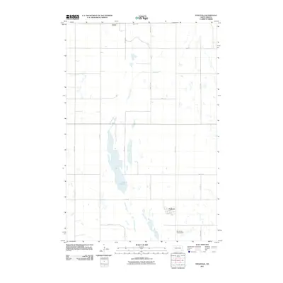
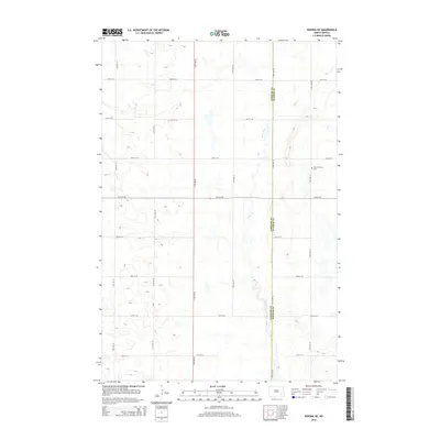
(20)- 2011 Map of Litchville SE, 2011 Print
 2011 Litchville SE2011 Print · USGSCovers Fort Ransom Township, including Northland Township, Black Loam Township, and other nearby areas
 - 2011 Map of Verona NE, 2011 Print
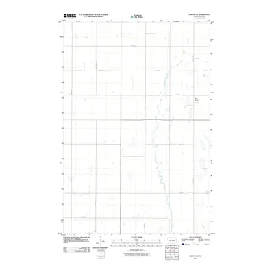 2011 Verona NE2011 Print · USGSCovers Fort Ransom Township, including Black Loam Township, Greenville Township, and other nearby areas
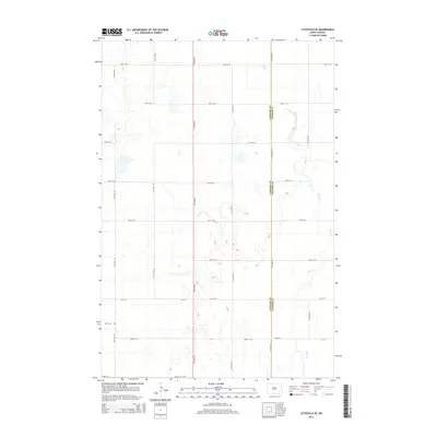
 - 2011 Map of Englevale, 2011 Print
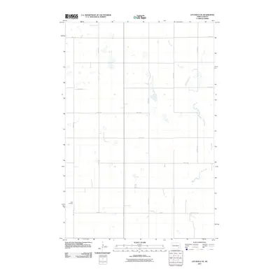
 2011 Englevale2011 Print · USGSCovers Fort Ransom Township, including Englevale, Elliott Township, and other nearby areas
 - 2011 Map of Fort Ransom, 2011 Print
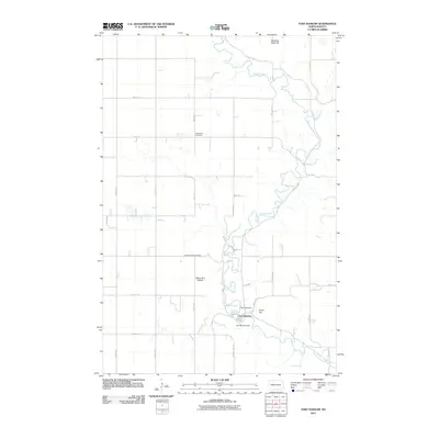 2011 Fort Ransom2011 Print · USGSCovers Fort Ransom Township, including Fort Ransom, Northland Township, and other nearby areas
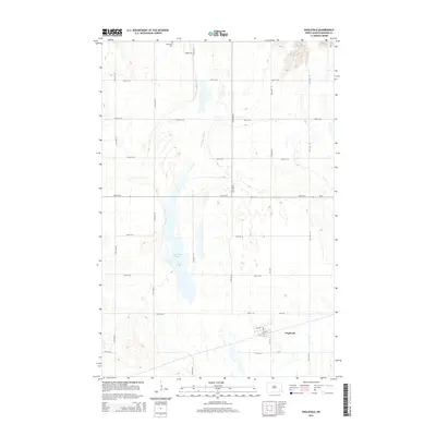
 - 2014 Map of Verona NE, 2014 Print
 2014 Verona NE2014 Print · USGSCovers Fort Ransom Township, including Black Loam Township, Greenville Township, and other nearby areas
 - 2014 Map of Litchville SE, 2014 Print
 2014 Litchville SE2014 Print · USGSCovers Fort Ransom Township, including Northland Township, Black Loam Township, and other nearby areas
 - 2014 Map of Fort Ransom, 2014 Print
 2014 Fort Ransom2014 Print · USGSCovers Fort Ransom Township, including Fort Ransom, Northland Township, and other nearby areas
 - 2014 Map of Englevale, 2014 Print
 2014 Englevale2014 Print · USGSCovers Fort Ransom Township, including Englevale, Elliott Township, and other nearby areas
 - 2017 Map of Fort Ransom, 2017 Print
 2017 Fort Ransom2017 Print · USGSCovers Fort Ransom Township, including Fort Ransom, Northland Township, and other nearby areas
 - 2017 Map of Englevale, 2017 Print
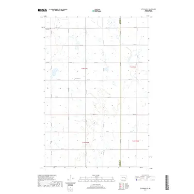
 2017 Englevale2017 Print · USGSCovers Fort Ransom Township, including Englevale, Elliott Township, and other nearby areas
 - 2017 Map of Verona NE, 2017 Print
 2017 Verona NE2017 Print · USGSCovers Fort Ransom Township, including Black Loam Township, Greenville Township, and other nearby areas
 - 2018 Map of Litchville SE, 2018 Print
 2018 Litchville SE2018 Print · USGSCovers Fort Ransom Township, including Northland Township, Black Loam Township, and other nearby areas
 - 2020 Map of Fort Ransom, 2020 Print
 2020 Fort Ransom2020 Print · USGSCovers Fort Ransom Township, including Fort Ransom, Northland Township, and other nearby areas
 - 2020 Map of Englevale, 2020 Print
 2020 Englevale2020 Print · USGSCovers Fort Ransom Township, including Englevale, Elliott Township, and other nearby areas
 - 2020 Map of Verona NE, 2020 Print
 2020 Verona NE2020 Print · USGSCovers Fort Ransom Township, including Black Loam Township, Greenville Township, and other nearby areas
 - 2020 Map of Litchville SE, 2020 Print
 2020 Litchville SE2020 Print · USGSCovers Fort Ransom Township, including Northland Township, Black Loam Township, and other nearby areas
 - 2024 Map of Litchville SE, 2024 Print
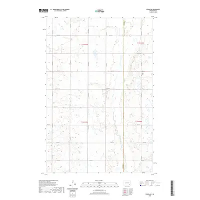
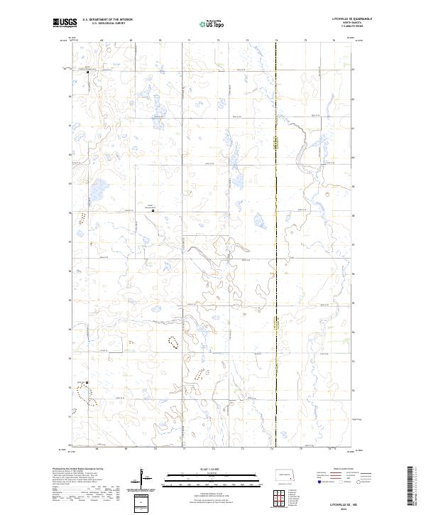 2024 Litchville SE2024 Print · USGSLaMoure and Ransom counties are documented here in 2024, showing the prairie landscape at the crossroads of several historic townships. Researchers can locate family roots at the North Lamoure Pioneer Cemetery and Sjulli Cemetery or trace the course of Bear Creek.
 - 2024 Map of Verona NE, 2024 Print
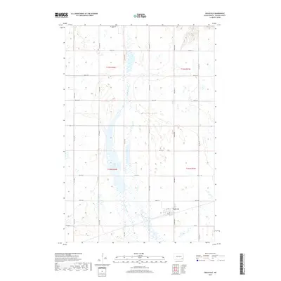
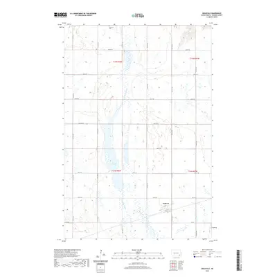
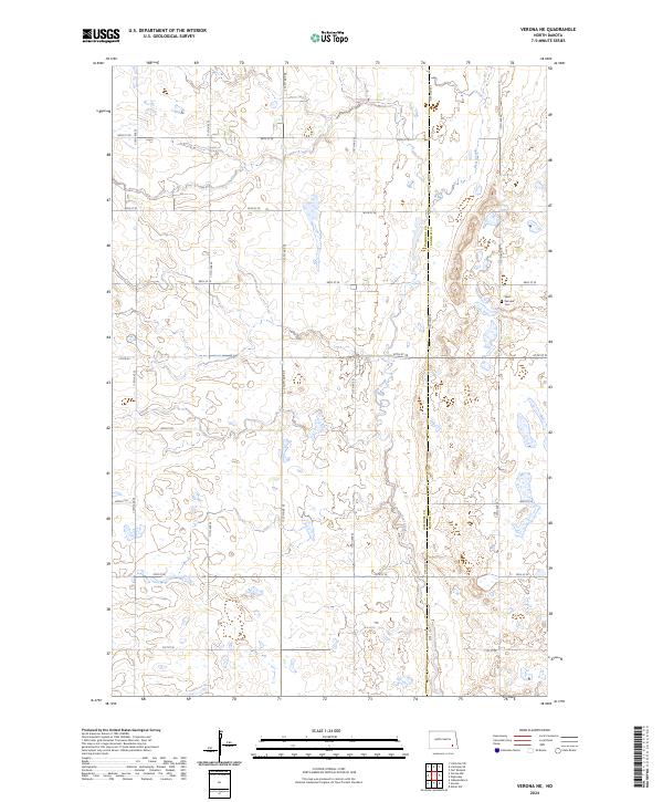 2024 Verona NE2024 Print · USGSThe prairie landscape at the border of LaMoure and Ransom counties is captured here in a detailed contemporary survey. Genealogists and local historians can locate the West Fairview Cem and trace the winding course of Bear Creek through various waterfowl production areas.
 - 2024 Map of Fort Ransom, 2024 Print
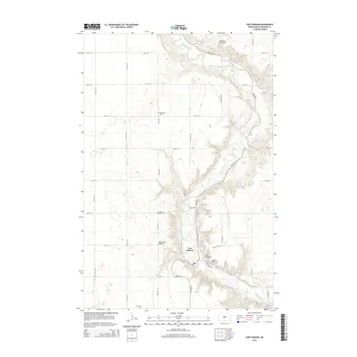
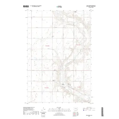
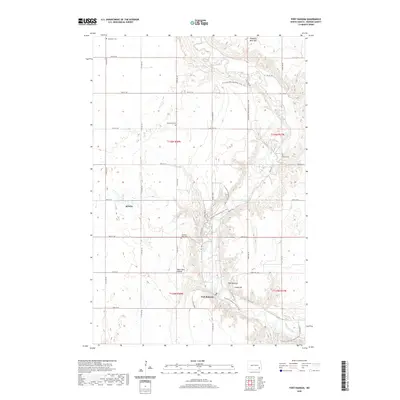
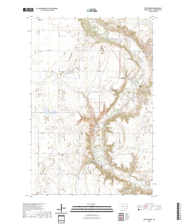 2024 Fort Ransom2024 Print · USGSThe Sheyenne River valley near Fort Ransom is a landscape of high bluffs and pioneer-era landmarks in the modern era. Genealogists can locate several historic burial sites like Standing Rock Cemetery or find prominent terrain features such as Bears Den Hillock.
 - 2024 Map of Englevale, 2024 Print
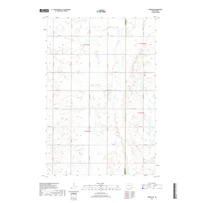
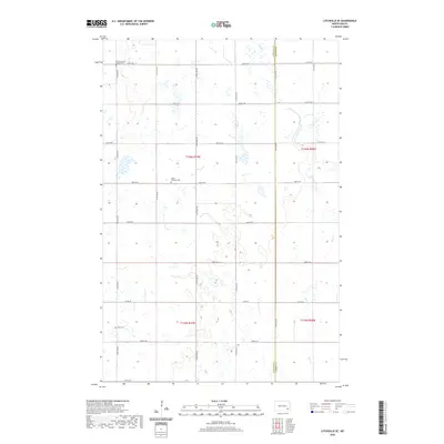
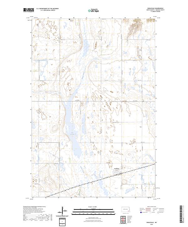 2024 Englevale2024 Print · USGSRansom County’s prairie wetlands and the small settlement of Englevale are documented here in the early twenty-first century. Genealogists and local historians can locate the Stiklestad Cemetery or trace the boundaries of the Ransom County Waterfowl Production Area.
End of results
Showing maps 1-20 of 20
Top cities near Fort Ransom Township
- Litchville historical maps
- Verona historical maps
- Fort Ransom historical maps
- Nome historical maps
- Kathryn historical maps
- Elliott historical maps
Frequently asked questions
- What are the different types of historical maps available for Fort Ransom Township?
- What is the oldest map of Fort Ransom Township?
- Where can I purchase historical maps of Fort Ransom Township for my home or office?
- Where can I download high-res historical maps of Fort Ransom Township?
- Are there historical topographic maps available for Fort Ransom Township?
- Is there historical aerial imagery available for Fort Ransom Township?
- Where are historical maps of Fort Ransom Township sourced from?