Old Maps of Northland Township, North Dakota for Genealogy
Trace your family roots with 33 historic maps of Northland Township. These high-res maps reveal old neighborhoods, homesites, landmarks, and streets — helping you uncover where your ancestors lived and how the area evolved over time.
- Explore historic neighborhoods: Identify where your relatives may have lived in the 1800s or 1900s.
- Compare maps over time: Trace the changes in streets, buildings, and landmarks for multi-generational research.
- Perfect for genealogy & ancestry research: Used by family historians and researchers to map out lineage and migration.
These maps are an incredible resource for exploring your personal connection to Northland Township's past.
Northland Township, ND maps
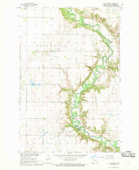
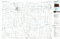
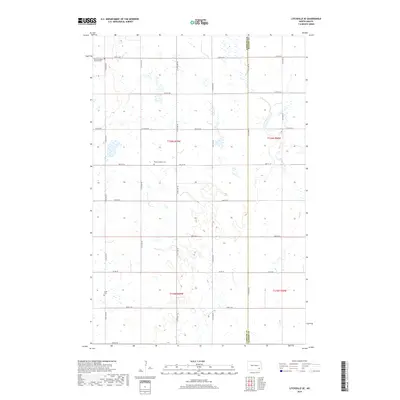
(33)- 1897 Map of Tower
 1897 Tower1897 Print · USGSIn the late nineteenth century, the expansion of the northern plains centered on the intersection of the Sheyenne River and the arriving railroads. Genealogists and historians can trace early township plats and rail-stop settlements like Valley City, Fingal, and Enderlin.3 unique versions available
 - 1897 Map of Eckelson
 1897 Eckelson1897 Print · USGSEastern North Dakota in the late nineteenth century was a land defined by the iron rail and a network of glacial lakes. Genealogists can trace early homesteads and rail stops near Valley City, Sanborn, and the isolated post office at Svea.3 unique versions available
 - 1953 Map of Jamestown
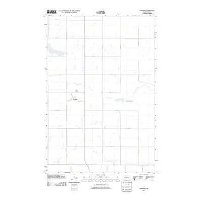
 1953 Jamestown1953 Print · USGSSoutheastern North Dakota was a thriving rail and agricultural corridor in the early fifties, anchored by the James River. Researchers can trace the footprints of institutional landmarks like the North Dakota State Hospital and historic sites such as Whitestone Hill Battlefield Park.3 unique versions available
 - 1953 Map of Fargo, 1965 Print
 1953 Fargo1965 Print · USGSThe Red River Valley in the mid-fifties was a bustling rail and agricultural corridor during a period of steady prairie growth. Genealogists and historians can trace the intricate rail networks of the Great Northern and Soo Line connecting local hubs like Casselton and Wahpeton.2 unique versions available
 - 1956 Map of Fargo
 1956 Fargo1956 Print · USGSThe Red River Valley's agricultural heartland is documented here in the mid-fifties as the rail-and-road network expanded across the plains. Genealogists can trace family roots through numerous small railroad towns and local landmarks like Casselton, Sheyenne Valley Church, and Sisseton Indian Res.
 - 1956 Map of Jamestown
 1956 Jamestown1956 Print · USGSThe James River valley and the vast alkali lake country of south-central North Dakota are captured here in the mid-fifties. Genealogists can trace family farms across several counties, locating small rail stops like Medberry and monuments like Whitestone Hill Battlefield Park.
 - 1967 Map of Ft. Ransom, 1969 Print
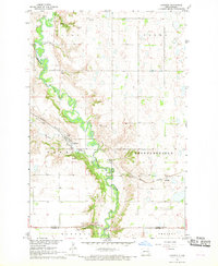
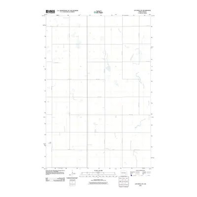
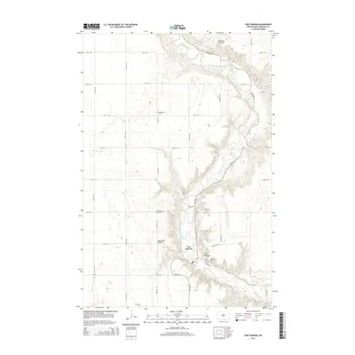
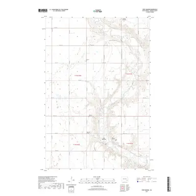
 1967 Ft. Ransom1969 Print · USGSRansom County's Sheyenne River valley is captured here in the late sixties, revealing a landscape where frontier history and rural agriculture meet. Genealogists and historians can locate Site of old Ft Ransom, find family plots at Standing Rock Cem, and trace the cultural geography of Indian Mounds and Writing Rock.
 - 1967 Map of Kathryn, 1969 Print
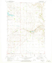
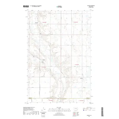
 1967 Kathryn1969 Print · USGSIn the Sheyenne River valley during the late 1960s, this landscape shows the quiet agrarian life of Barnes County. Genealogists and historians can trace rail-side settlements like Kathryn and Eastedge, or locate family sites near St Pauls Cem and Sheyenne Valley Ch.
 - 1970 Map of Hastings, 1973 Print
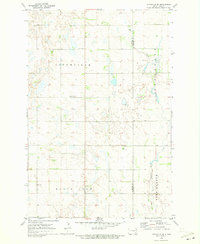
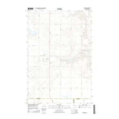
 1970 Hastings1973 Print · USGSThe small town of Hastings and its surrounding prairie townships are captured here in the early 1970s. Researchers can locate family landmarks like the Spring Creek Cem or trace the Burlington Northern line through Spring Creek.
 - 1970 Map of Litchville SE, 1973 Print
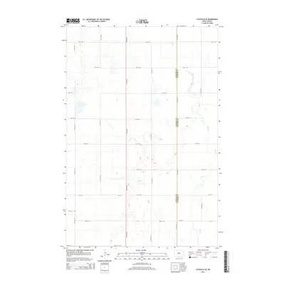
 1970 Litchville SE1973 Print · USGSLaMoure and Ransom counties are captured here in the early seventies, showing a classic North Dakota township landscape. Genealogists can locate specific family landmarks like North LaMoure Ch, Sulli Cem, and the winding path of Bear Creek.
 - 1986 Map of Casselton
 1986 Casselton1986 Print · USGSEastern North Dakota in the mid-1980s was a landscape defined by the intersection of the Sheyenne River and major rail lines. Researchers can trace the development of agricultural hubs like Enderlin and Casselton or locate the Griswold Mine and Memory Gardens Cem.2 unique versions available
 - 1986 Map of Jamestown
 1986 Jamestown1986 Print · USGSThe eastern North Dakota prairie comes into focus in the mid-eighties, centered on the rail and river hubs of Jamestown and Valley City. You can trace the Burlington Northern line through historic stops like Eckelson, Sanborn, and Spiritwood while exploring vast wildlife refuges and local landmarks.2 unique versions available
 - 1989 Map of Fargo, 1990 Print
 1989 Fargo1990 Print · USGSThe Red River Valley at the end of the eighties shows a landscape of flourishing university towns and vital rail corridors. Researchers can trace family roots through Riverside Cem, find early campus layouts for North Dakota State University, or follow the Soo Line Railroad through West Fargo.
 - 2011 Map of Litchville SE, 2011 Print
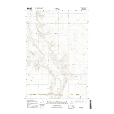
 2011 Litchville SE2011 Print · USGSCovers Northland Township, including Fort Ransom Township, Black Loam Township, and other nearby areas
 - 2011 Map of Hastings, 2011 Print
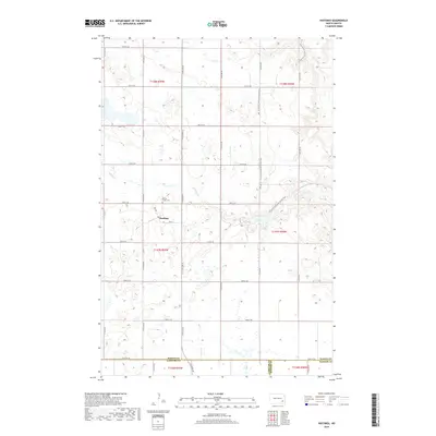
 2011 Hastings2011 Print · USGSCovers Northland Township, including Skandia Township, Hastings, and other nearby areas
 - 2011 Map of Kathryn, 2011 Print
 2011 Kathryn2011 Print · USGSCovers Northland Township, including Kathryn, Daily, and other nearby areas
 - 2011 Map of Fort Ransom, 2011 Print
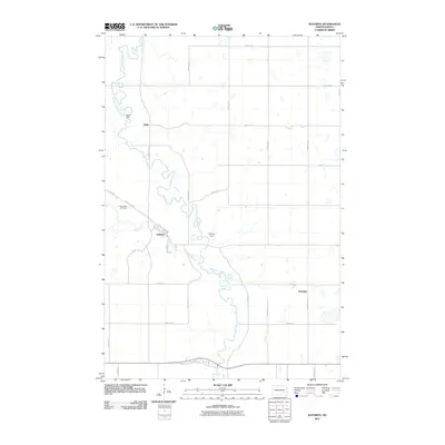
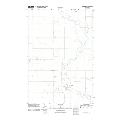 2011 Fort Ransom2011 Print · USGSCovers Northland Township, including Fort Ransom, Fort Ransom Township, and other nearby areas
 - 2014 Map of Litchville SE, 2014 Print
 2014 Litchville SE2014 Print · USGSCovers Northland Township, including Fort Ransom Township, Black Loam Township, and other nearby areas
 - 2014 Map of Hastings, 2014 Print
 2014 Hastings2014 Print · USGSCovers Northland Township, including Skandia Township, Hastings, and other nearby areas
 - 2014 Map of Fort Ransom, 2014 Print
 2014 Fort Ransom2014 Print · USGSCovers Northland Township, including Fort Ransom, Fort Ransom Township, and other nearby areas
 - 2014 Map of Kathryn, 2014 Print
 2014 Kathryn2014 Print · USGSCovers Northland Township, including Kathryn, Daily, and other nearby areas
 - 2017 Map of Fort Ransom, 2017 Print
 2017 Fort Ransom2017 Print · USGSCovers Northland Township, including Fort Ransom, Fort Ransom Township, and other nearby areas
 - 2018 Map of Kathryn, 2018 Print
 2018 Kathryn2018 Print · USGSCovers Northland Township, including Kathryn, Daily, and other nearby areas
 - 2018 Map of Hastings, 2018 Print
 2018 Hastings2018 Print · USGSCovers Northland Township, including Skandia Township, Hastings, and other nearby areas
 - 2018 Map of Litchville SE, 2018 Print
 2018 Litchville SE2018 Print · USGSCovers Northland Township, including Fort Ransom Township, Black Loam Township, and other nearby areas
Showing maps 1-25 of 33
Top cities near Northland Township
- Litchville historical maps
- Fingal historical maps
- Verona historical maps
- Fort Ransom historical maps
- Nome historical maps
- Kathryn historical maps
See more
Frequently asked questions
- What are the different types of historical maps available for Northland Township?
- What is the oldest map of Northland Township?
- Where can I purchase historical maps of Northland Township for my home or office?
- Where can I download high-res historical maps of Northland Township?
- Are there historical topographic maps available for Northland Township?
- Is there historical aerial imagery available for Northland Township?
- Where are historical maps of Northland Township sourced from?