Old Maps of Tuller Township, North Dakota
Explore 30 old maps of Tuller Township, spanning from 1897 to today. These high-resolution historic maps reveal how streets, neighborhoods, landmarks, and natural features evolved over time — perfect for genealogy, metal detecting, research, and local history exploration.
What you can do with these maps:
- See how Tuller Township changed over time: Compare historical maps to modern-day views to trace roads, homesites, rail lines & more.
- View detailed metadata: Each map includes creators, publishers, year, scale, and archive source.
- Overlay maps with satellite & LiDAR: Visualize the past alongside modern tools to explore terrain & human change.
- Trusted historical sources: Maps sourced from the USGS, Library of Congress, and other archives.
- Access maps your way: View online, download high-res files, or order prints for personal or research use.
Start exploring old maps of Tuller Township to uncover forgotten places, hidden landmarks, and the deep history beneath your feet.
Tuller Township, ND maps
(30)- 1897 Map of Tower
 1897 Tower1897 Print · USGSIn the late nineteenth century, the expansion of the northern plains centered on the intersection of the Sheyenne River and the arriving railroads. Genealogists and historians can trace early township plats and rail-stop settlements like Valley City, Fingal, and Enderlin.3 unique versions available
 - 1953 Map of Fargo, 1965 Print
 1953 Fargo1965 Print · USGSThe Red River Valley in the mid-fifties was a bustling rail and agricultural corridor during a period of steady prairie growth. Genealogists and historians can trace the intricate rail networks of the Great Northern and Soo Line connecting local hubs like Casselton and Wahpeton.2 unique versions available
 - 1956 Map of Fargo
 1956 Fargo1956 Print · USGSThe Red River Valley's agricultural heartland is documented here in the mid-fifties as the rail-and-road network expanded across the plains. Genealogists can trace family roots through numerous small railroad towns and local landmarks like Casselton, Sheyenne Valley Church, and Sisseton Indian Res.
 - 1962 Map of Lisbon, 1964 Print
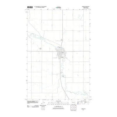
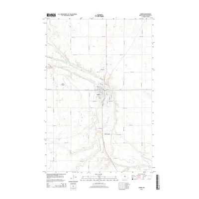
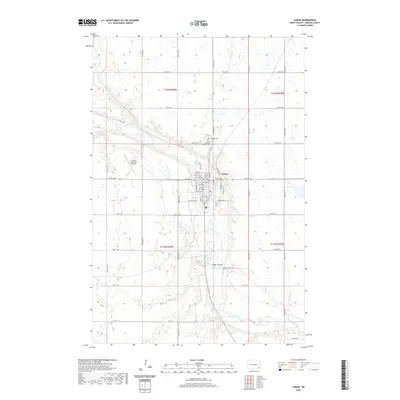
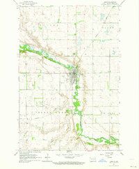 1962 Lisbon1964 Print · USGSLisbon and the winding Sheyenne River valley are captured here in the early sixties, showing the town at a peak of mid-century development. Genealogists and local historians can locate the State Soldiers Home, Oakwood Cemetery, and the Northern Pacific rail line.
 - 1962 Map of Elliott, 1964 Print
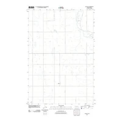
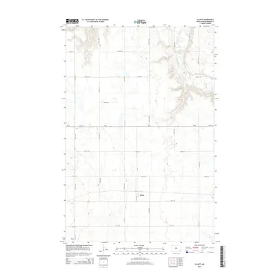
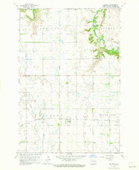 1962 Elliott1964 Print · USGSIn the early 1960s, this Ransom County prairie landscape was defined by the Northern Pacific railroad and the winding Sheyenne River. Genealogists and local historians can trace rural landmarks like Dick Cem, School No 1, and the rail siding at Elliott.
 - 1967 Map of Nome SE, 1969 Print
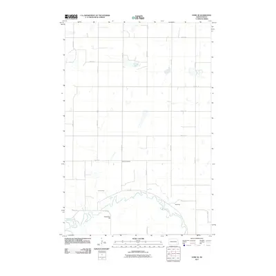
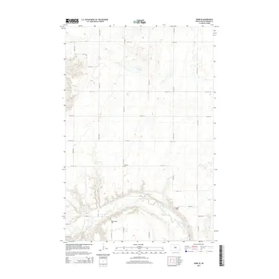
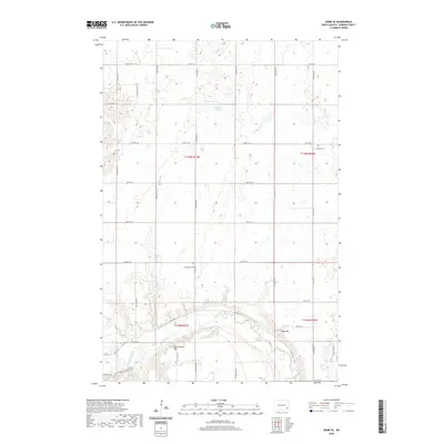
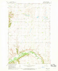 1967 Nome SE1969 Print · USGSRansom County farmland meets the winding valley of the Sheyenne River during the late sixties. Genealogists and local historians can locate the Bethania Cem, Fillmore Ch, and the riverside Griswold Mine.
 - 1967 Map of Buttzville, 1969 Print
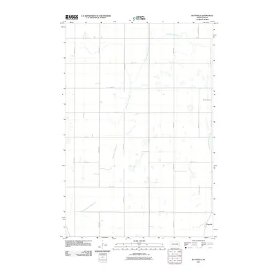
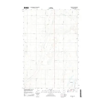
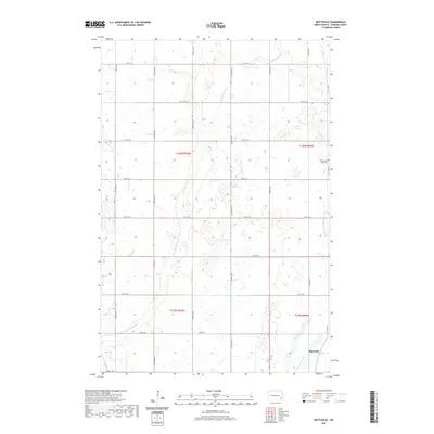
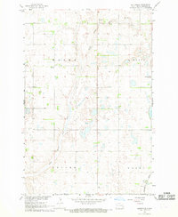 1967 Buttzville1969 Print · USGSRansom County farming townships and the prairie rail corridor are captured here in the late sixties. Genealogists and local historians can locate the West St Olaf Ch, the Northern Pacific rail line, and the small settlement of Buttzville.
 - 1986 Map of Lisbon
 1986 Lisbon1986 Print · USGSSoutheastern North Dakota's prairie landscape is mapped here in the mid-1980s, showcasing a region defined by its river valleys and rail-fed agricultural towns. Researchers can trace the heritage of communities like Gwinner and Cayuga or locate family markers at Oakwood Cem.2 unique versions available
 - 1986 Map of Casselton
 1986 Casselton1986 Print · USGSEastern North Dakota in the mid-1980s was a landscape defined by the intersection of the Sheyenne River and major rail lines. Researchers can trace the development of agricultural hubs like Enderlin and Casselton or locate the Griswold Mine and Memory Gardens Cem.2 unique versions available
 - 1989 Map of Fargo, 1990 Print
 1989 Fargo1990 Print · USGSThe Red River Valley at the end of the eighties shows a landscape of flourishing university towns and vital rail corridors. Researchers can trace family roots through Riverside Cem, find early campus layouts for North Dakota State University, or follow the Soo Line Railroad through West Fargo.
 - 2011 Map of Buttzville, 2011 Print
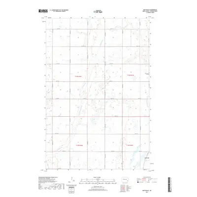
 2011 Buttzville2011 Print · USGSCovers Tuller Township, including Moore Township, Buttzville, and other nearby areas
 - 2011 Map of Lisbon, 2011 Print
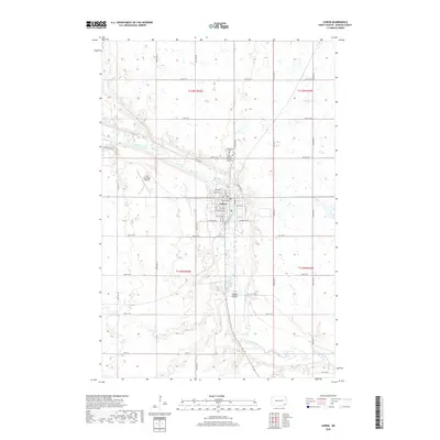
 2011 Lisbon2011 Print · USGSCovers Tuller Township, including Lisbon, Casey Township, and other nearby areas
 - 2011 Map of Nome SE, 2011 Print
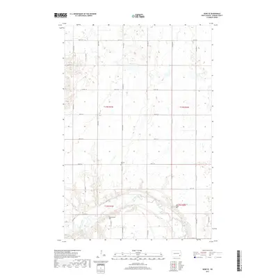
 2011 Nome SE2011 Print · USGSCovers Tuller Township, including Moore Township, Preston Township, and other nearby areas
 - 2011 Map of Elliott, 2011 Print
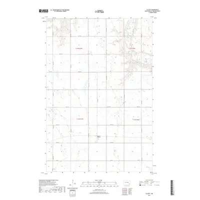
 2011 Elliott2011 Print · USGSCovers Tuller Township, including Elliott, Elliott Township, and other nearby areas
 - 2014 Map of Nome SE, 2014 Print
 2014 Nome SE2014 Print · USGSCovers Tuller Township, including Moore Township, Preston Township, and other nearby areas
 - 2014 Map of Buttzville, 2014 Print
 2014 Buttzville2014 Print · USGSCovers Tuller Township, including Moore Township, Buttzville, and other nearby areas
 - 2014 Map of Lisbon, 2014 Print
 2014 Lisbon2014 Print · USGSCovers Tuller Township, including Lisbon, Casey Township, and other nearby areas
 - 2014 Map of Elliott, 2014 Print
 2014 Elliott2014 Print · USGSCovers Tuller Township, including Elliott, Elliott Township, and other nearby areas
 - 2017 Map of Buttzville, 2017 Print
 2017 Buttzville2017 Print · USGSCovers Tuller Township, including Moore Township, Buttzville, and other nearby areas
 - 2017 Map of Elliott, 2017 Print
 2017 Elliott2017 Print · USGSCovers Tuller Township, including Elliott, Elliott Township, and other nearby areas
 - 2017 Map of Nome SE, 2017 Print
 2017 Nome SE2017 Print · USGSCovers Tuller Township, including Moore Township, Preston Township, and other nearby areas
 - 2018 Map of Lisbon, 2018 Print
 2018 Lisbon2018 Print · USGSCovers Tuller Township, including Lisbon, Casey Township, and other nearby areas
 - 2020 Map of Buttzville, 2020 Print
 2020 Buttzville2020 Print · USGSCovers Tuller Township, including Moore Township, Buttzville, and other nearby areas
 - 2020 Map of Lisbon, 2020 Print
 2020 Lisbon2020 Print · USGSCovers Tuller Township, including Lisbon, Casey Township, and other nearby areas
 - 2020 Map of Nome SE, 2020 Print
 2020 Nome SE2020 Print · USGSCovers Tuller Township, including Moore Township, Preston Township, and other nearby areas
Showing maps 1-25 of 30
Top cities near Tuller Township
- Lisbon historical maps
- Enderlin historical maps
- Sheldon historical maps
- Fort Ransom historical maps
- Nome historical maps
- Elliott historical maps
Frequently asked questions
- What are the different types of historical maps available for Tuller Township?
- What is the oldest map of Tuller Township?
- Where can I purchase historical maps of Tuller Township for my home or office?
- Where can I download high-res historical maps of Tuller Township?
- Are there historical topographic maps available for Tuller Township?
- Is there historical aerial imagery available for Tuller Township?
- Where are historical maps of Tuller Township sourced from?