2020s Maps of Maryville Township, North Dakota
Explore 8 historic maps of Maryville Township from the 2020s. These maps offer a rare glimpse into what life looked like during the 2020s — showing old roads, neighborhoods, homes, and landmarks that have changed or disappeared over time.
Whether you're researching your family's past, planning a metal detecting trip, or studying how Maryville Township's landscape evolved across the 2020s, these high-resolution maps are a powerful tool for exploring the history of this region.
- Focus on a specific era: All maps on this page are from the 2020s, giving you a focused view of this time period.
- See what’s changed: Compare century-old streets, trails, and buildings to today's modern landscape using overlays and satellite layers.
- Research with precision: Use these maps for genealogy, historical research, land use analysis, or educational projects.
- View, download, or print: Maps are fully viewable online in high resolution, and can be downloaded or printed for your own records.
Start exploring Maryville Township's history through authentic maps from the 2020s. This is your window into the past.
Maryville Township, ND maps
(8)- 2020 Map of Mylo NW, 2020 Print
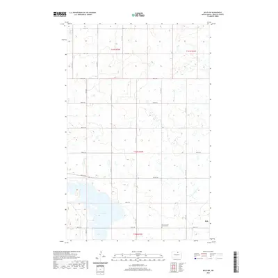 2020 Mylo NW2020 Print · USGSCovers Maryville Township, including Mylo, Rolette County, and other nearby areas
 - 2020 Map of Rolette, 2020 Print
 2020 Rolette2020 Print · USGSCovers Maryville Township, including Rolette, Shell Valley Township, and other nearby areas
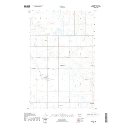
 - 2020 Map of Belcourt, 2020 Print
 2020 Belcourt2020 Print · USGSCovers Maryville Township, including Belcourt, Rolla, and other nearby areas
 - 2020 Map of Lake Upsilon SE, 2020 Print
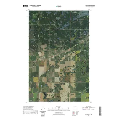 2020 Lake Upsilon SE2020 Print · USGSCovers Maryville Township, including Belcourt, Shell Valley, and other nearby areas
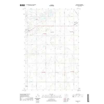
 - 2024 Map of Mylo NW, 2024 Print
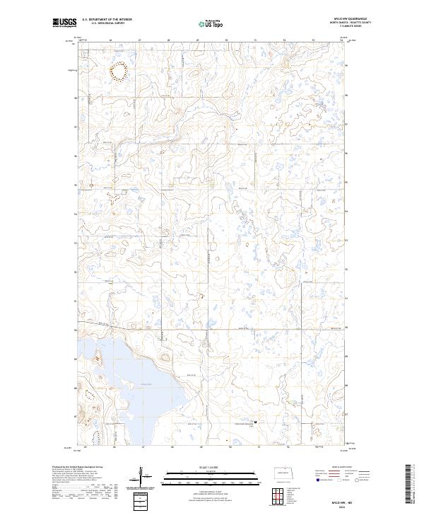 2024 Mylo NW2024 Print · USGSRolette County in the 2020s remains a landscape of conservation and traditional agriculture defined by its glacial lakes. Local historians and genealogists can locate the Old Order Amish Mennonite Cem and trace the boundaries of the Rolette County Waterfowl Production Area near Long Lake.
 - 2024 Map of Rolette, 2024 Print
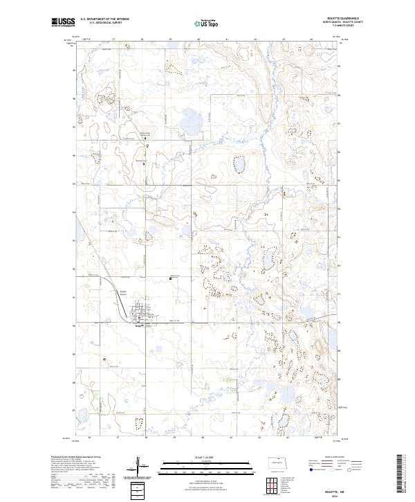 2024 Rolette2024 Print · USGSRolette and its surrounding prairie wetlands are captured here in the mid-2020s, showing the intersection of rural township grids and conservation lands. Researchers can trace local burial sites at Sacred Heart Catholic Cem and Westland Cem or locate the Rolette Airport.
 - 2024 Map of Lake Upsilon SE, 2024 Print
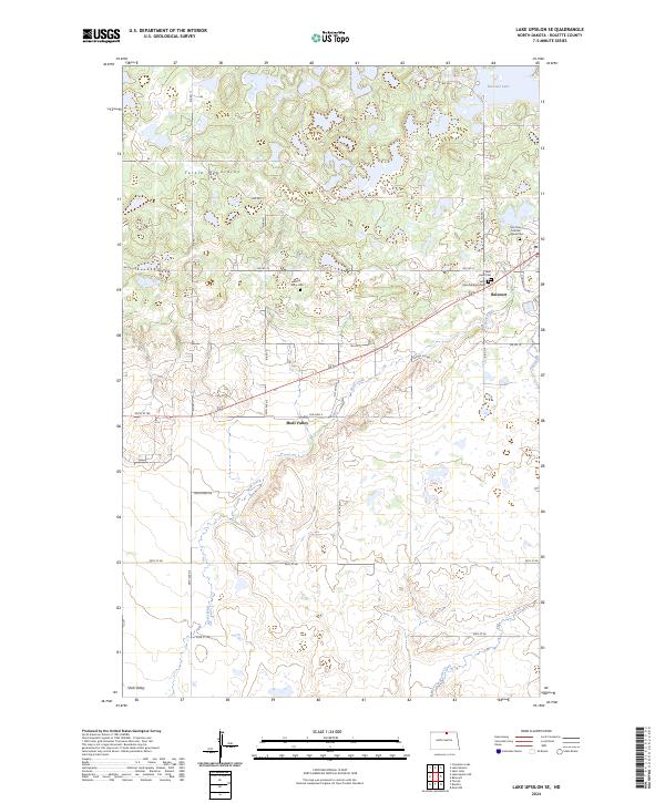 2024 Lake Upsilon SE2024 Print · USGSRolette County's glacial hills and prairie wetlands are documented here in the modern era. Genealogists and local historians can trace several burial sites including Saint Ann Catholic Original Cem and White Stone Cem near Belcourt.
 - 2024 Map of Belcourt, 2024 Print
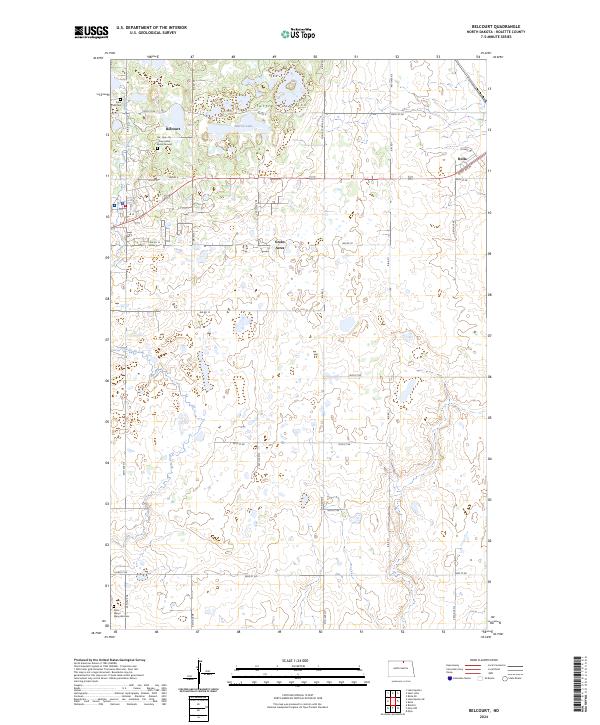 2024 Belcourt2024 Print · USGSRolette County near the Canadian border is documented here in the early 2020s, showing the interaction between the Turtle Mountains and local communities. Researchers can locate Saint Paul Cem, the An-Qui-Ni Gay Indian Burial Ground, and the Rolette County Waterfowl Production Area.
End of results
Showing maps 1-8 of 8
Top cities near Maryville Township
- Belcourt historical maps
- Rolla historical maps
- Rolette historical maps
- Shell Valley historical maps
- Mylo historical maps
Frequently asked questions
- What are the different types of historical maps available for Maryville Township?
- What is the oldest map of Maryville Township?
- Where can I purchase historical maps of Maryville Township for my home or office?
- Where can I download high-res historical maps of Maryville Township?
- Are there historical topographic maps available for Maryville Township?
- Is there historical aerial imagery available for Maryville Township?
- Where are historical maps of Maryville Township sourced from?