Old Maps of Mylo, North Dakota for Genealogy
Trace your family roots with 15 historic maps of Mylo. These high-res maps reveal old neighborhoods, homesites, landmarks, and streets — helping you uncover where your ancestors lived and how the area evolved over time.
- Explore historic neighborhoods: Identify where your relatives may have lived in the 1800s or 1900s.
- Compare maps over time: Trace the changes in streets, buildings, and landmarks for multi-generational research.
- Perfect for genealogy & ancestry research: Used by family historians and researchers to map out lineage and migration.
These maps are an incredible resource for exploring your personal connection to Mylo's past.
Mylo, ND maps
(15)- 1953 Map of Devils Lake, 1968 Print
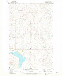
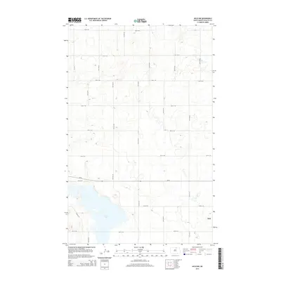
 1953 Devils Lake1968 Print · USGSNorth Dakota's northern plains are captured here in the mid-fifties, showing a landscape of rail-fed grain elevators and prairie wetlands. Genealogists can locate family landmarks like Rose Hill School, Hurricane Lake Church, and the Turtle Mountain Indian Reservation.3 unique versions available
 - 1956 Map of Devils Lake
 1956 Devils Lake1956 Print · USGSNorthern North Dakota is shown at a mid-century peak of rail-driven agriculture, where the Soo Line and Great Northern railroads cross the prairie. Trace the borders of the Turtle Mountain Indian Reservation and locate local landmarks like Rose Hill School or Camp Grafton.
 - 1971 Map of Mylo, 1973 Print
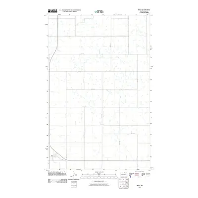
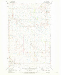 1971 Mylo1973 Print · USGSThe North Dakota prairie near Mylo appears as a complex landscape of wetlands and cultivated fields in the early seventies. Genealogists and historians can trace the local rail economy along the Soo Line and locate property lines across the Rolette Co border.
 - 1971 Map of Mylo NW, 1973 Print
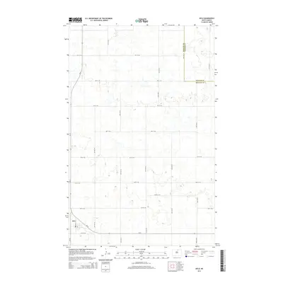
 1971 Mylo NW1973 Print · USGSRolette County's prairie and wetland landscape is captured here in the early seventies, just as the local rail and wildlife systems were well-established. Trace the path of the Soo Line railroad past Long Lake or locate the boundaries of Maryville.
 - 1985 Map of Rock Lake, 1986 Print
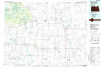 1985 Rock Lake1986 Print · USGSThe North Dakota borderlands and the forested heights of the Turtle Mountains are documented here in the mid-eighties. Genealogists and historians can trace the rail lines of the Soo Line through prairie towns like Bisbee, Rolette, and Rolla.2 unique versions available
 - 2011 Map of Mylo NW, 2011 Print
 2011 Mylo NW2011 Print · USGSCovers Mylo, including Maryville Township, Rolette County, and other nearby areas
 - 2011 Map of Mylo, 2011 Print
 2011 Mylo2011 Print · USGSCovers Mylo, including Rolette County, Towner County, and other nearby areas
 - 2014 Map of Mylo, 2014 Print
 2014 Mylo2014 Print · USGSCovers Mylo, including Rolette County, Towner County, and other nearby areas
 - 2014 Map of Mylo NW, 2014 Print
 2014 Mylo NW2014 Print · USGSCovers Mylo, including Maryville Township, Rolette County, and other nearby areas
 - 2017 Map of Mylo NW, 2017 Print
 2017 Mylo NW2017 Print · USGSCovers Mylo, including Maryville Township, Rolette County, and other nearby areas
 - 2017 Map of Mylo, 2017 Print
 2017 Mylo2017 Print · USGSCovers Mylo, including Rolette County, Towner County, and other nearby areas
 - 2020 Map of Mylo NW, 2020 Print
 2020 Mylo NW2020 Print · USGSCovers Mylo, including Maryville Township, Rolette County, and other nearby areas
 - 2020 Map of Mylo, 2020 Print
 2020 Mylo2020 Print · USGSCovers Mylo, including Rolette County, Towner County, and other nearby areas
 - 2024 Map of Mylo, 2024 Print
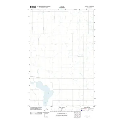
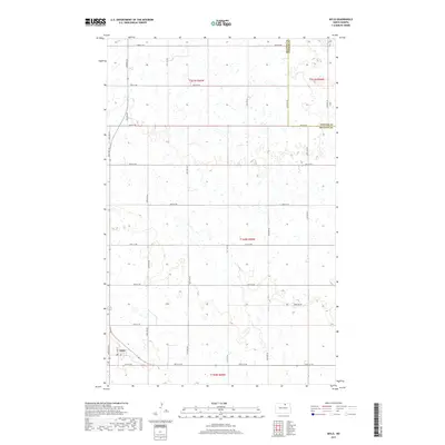
 2024 Mylo2024 Print · USGSThe townsite of Mylo and the surrounding prairie landscape are documented in this contemporary survey of the North Dakota plains. Researchers can locate the local PO and trace the section lines and rural roads including Airport Rd and 54th Ave NE.
 - 2024 Map of Mylo NW, 2024 Print
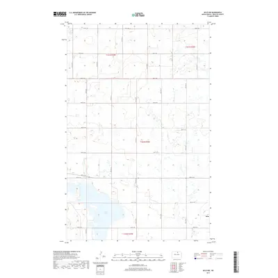
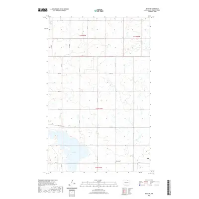
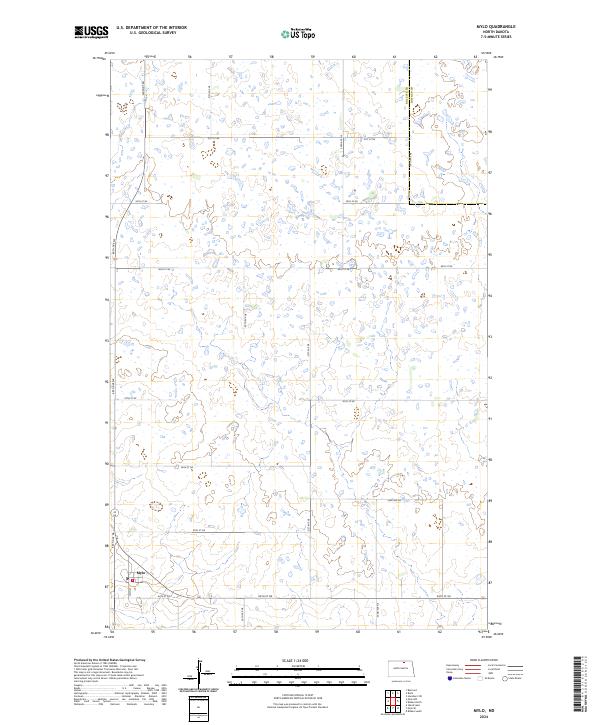
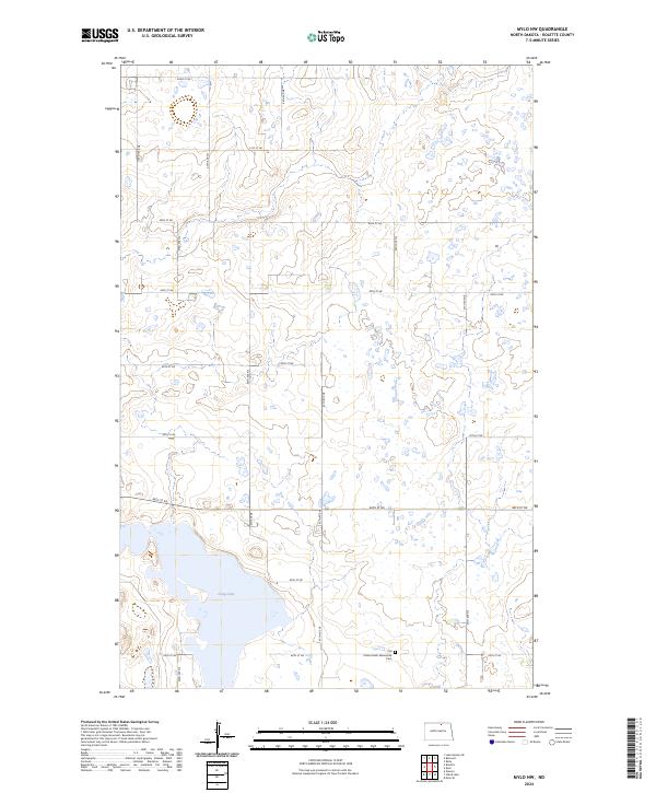 2024 Mylo NW2024 Print · USGSRolette County in the 2020s remains a landscape of conservation and traditional agriculture defined by its glacial lakes. Local historians and genealogists can locate the Old Order Amish Mennonite Cem and trace the boundaries of the Rolette County Waterfowl Production Area near Long Lake.
End of results
Showing maps 1-15 of 15
Top cities near Mylo
- Belcourt historical maps
- Rolla historical maps
- Rolette historical maps
- Wolford historical maps
- Perth historical maps
Frequently asked questions
- What are the different types of historical maps available for Mylo?
- What is the oldest map of Mylo?
- Where can I purchase historical maps of Mylo for my home or office?
- Where can I download high-res historical maps of Mylo?
- Are there historical topographic maps available for Mylo?
- Is there historical aerial imagery available for Mylo?
- Where are historical maps of Mylo sourced from?