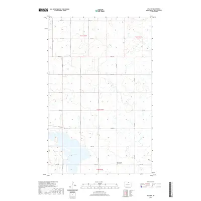
2020 Map of Mylo NW
USGS Topo · Published 2020About this map
Mylo sits at the edge of this prairie landscape in Rolette County, marking a small pocket of settlement amidst a vast grid of section roads and wetland depressions. The terrain is defined by numerous small water bodies and the significant expanse of Long Lake, which dominates the southwestern corner of the quadrangle. A notable cultural landmark is the Old Order Amish Mennonite Cem, located north of the town site. This 2020 survey reveals the persistent agricultural geometry of the region, where roads like 84th St NE and 47th Ave NE provide access to isolated farmsteads and rural burial grounds. The presence of the cemetery highlights the specific denominational history and community continuity of this part of North Dakota.
Find a feature on this map
22 named features on this map. Tap any name to fly to it.
Don’t see what you’re looking for? This feature index may not catch every label — zoom into the map to look around manually.
Map Details
Editions of this 2020 Mylo NW Map
This is the sole edition of this map. No revisions or reprints were ever made.
Other maps of this area

1936 · Lake Upsilon
USGS Topo · 1:48,000

1942 · Lake Upsilon
USGS Topo · 1:62,500

1953 · Devils Lake
USGS Topo · 1:250,000

1956 · Devils Lake
USGS Topo · 1:250,000

1968 · Lake Upsilon SE
USGS Topo · 1:24,000

1968 · Belcourt
USGS Topo · 1:24,000

1970 · Rolla
USGS Topo · 1:24,000

1971 · Island Lake
USGS Topo · 1:24,000

1971 · Mylo
USGS Topo · 1:24,000

1971 · Mylo NW
USGS Topo · 1:24,000