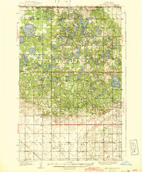
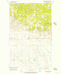
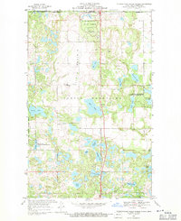
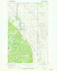
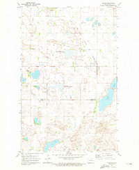
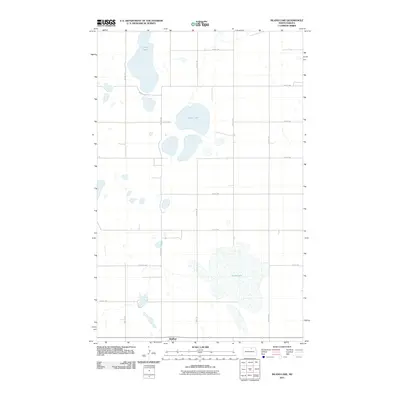
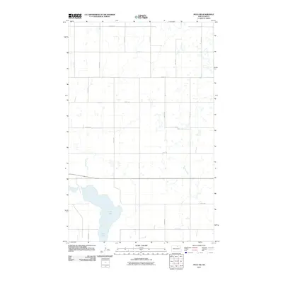
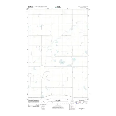
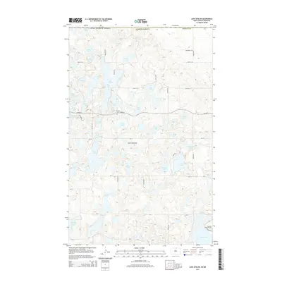
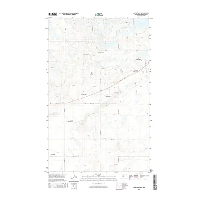
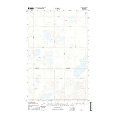
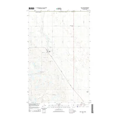
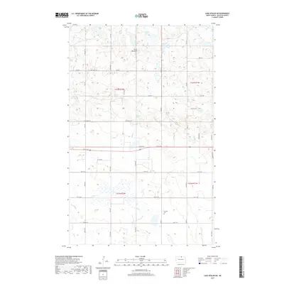
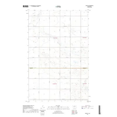
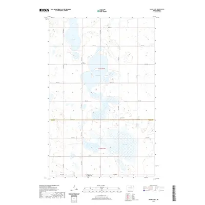
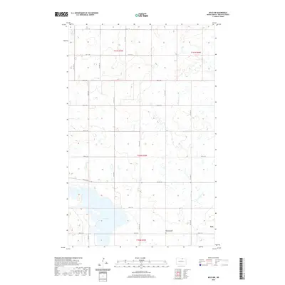
1942 Map of Lake Upsilon
USGS Topo · Published 1942About this map
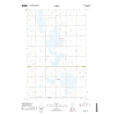
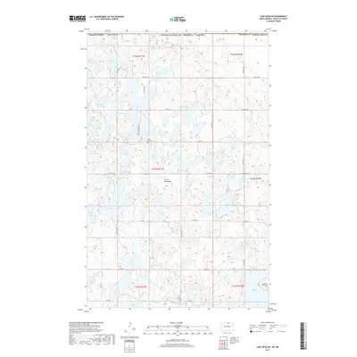
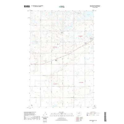
The Turtle Mountain Indian Reservation dominates this 1930s-era landscape along the international boundary between the United States and Canada. The map illustrates a densely glaciated terrain of the Turtle Mountains, characterized by hundreds of small water bodies like Carpenter Lake, Dion Lake, and Island Lake. Within the reservation, the Belcourt Indian Agency serves as a focal point of activity, surrounded by a network of rural schools and missions including St Johns Ch and St Michaels Ch. To the south, the terrain transitions into Shell Valley, where the Great Northern railroad tracks cross the prairie. This survey documents a complex rural social geography of the early 20th century, where family and community life centered on landmarks like Lakeview Cem and the various township schools such as Russell Sch and Knoke Sch.
Find a feature on this map
56 named features on this map. Tap any name to fly to it.
Don’t see what you’re looking for? This feature index may not catch every label — zoom into the map to look around manually.
Map Details
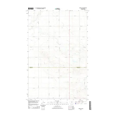
Editions of this 1942 Lake Upsilon Map
This is the sole edition of this map. No revisions or reprints were ever made.
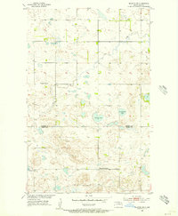
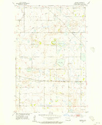
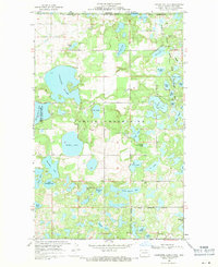
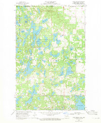
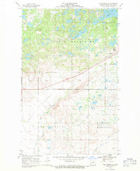
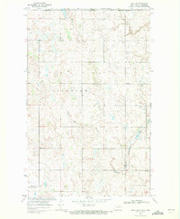
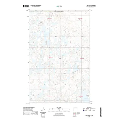
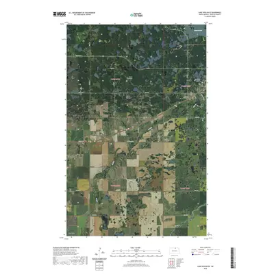
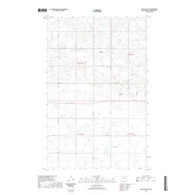
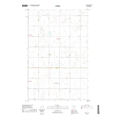
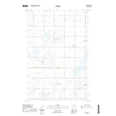
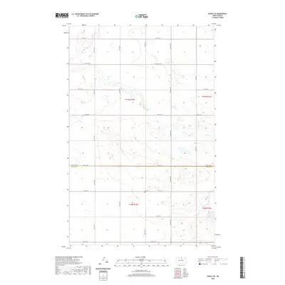
Historical Maps of Belcourt Through Time
92 maps found
1936 Lake Upsilon
Rolette County, ND
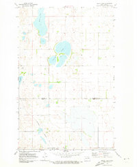
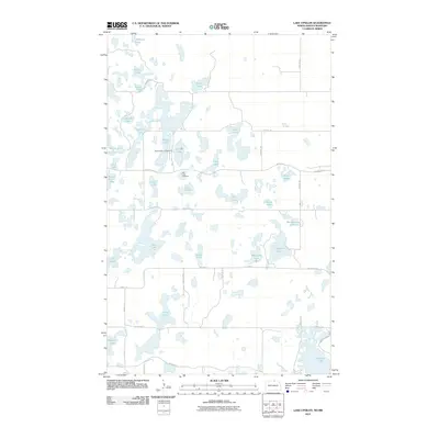
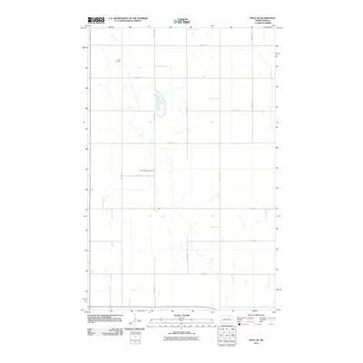
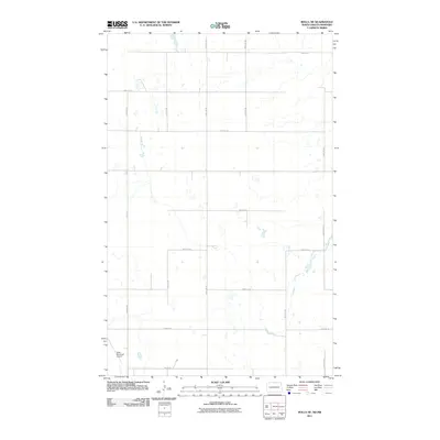
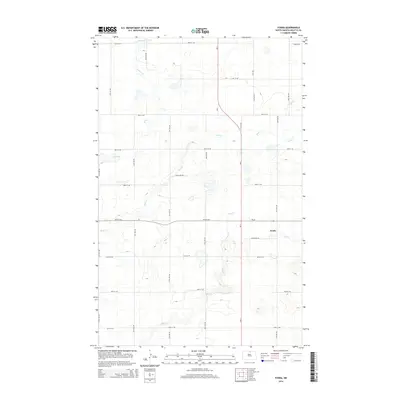
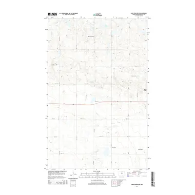
1942 Lake Upsilon
Rolette County, ND
1954 Overly SE
Rolette County, ND
1955 Fonda
Rolette County, ND
1955 Lake Upsilon SW
Rolette County, ND
1955 Rolette SW
Rolette County, ND
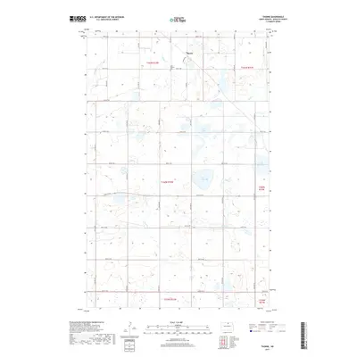
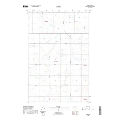
1955 Thorne
Rolette County, ND
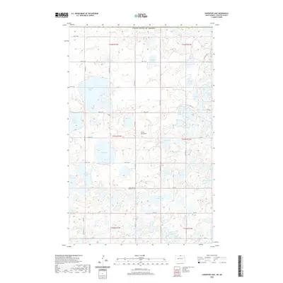
1968 Carpenter Lake
Rolette County, ND
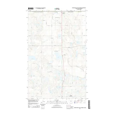
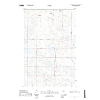
1968 International Peace Garden
Rolette County, ND
1968 Lake Upsilon
Rolette County, ND
1968 Lake Upsilon SE
Rolette County, ND
1969 Rolla NE
Rolette County, ND
1969 Saint John
Rolette County, ND
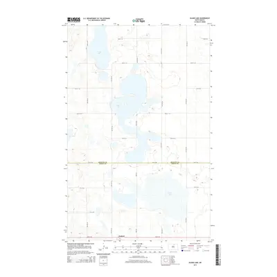
1971 Island Lake
Rolette County, ND
1971 Mylo NW
Rolette County, ND
1971 Mylo SE
Rolette County, ND
1971 Nanson
Rolette County, ND
2011 Carpenter Lake
Rolette County, ND
2011 Fonda
Rolette County, ND
2011 International Peace Garden
Rolette County, ND
2011 Island Lake
Rolette County, ND
2011 Lake Upsilon
Rolette County, ND
2011 Lake Upsilon SE
Rolette County, ND
2011 Lake Upsilon SW
Rolette County, ND
2011 Mylo NW
Rolette County, ND
2011 Mylo SE
Rolette County, ND
2011 Nanson
Rolette County, ND
2011 Overly SE
Rolette County, ND
2011 Rolette SW
Rolette County, ND
2011 Rolla NE
Rolette County, ND
2011 Saint John
Rolette County, ND
2011 Thorne
Rolette County, ND

2014 Carpenter Lake
Rolette County, ND
2014 Fonda
Rolette County, ND
2014 International Peace Garden
Rolette County, ND
2014 Island Lake
Rolette County, ND
2014 Lake Upsilon
Rolette County, ND
2014 Lake Upsilon SE
Rolette County, ND
2014 Lake Upsilon SW
Rolette County, ND
2014 Mylo NW
Rolette County, ND
2014 Mylo SE
Rolette County, ND
2014 Nanson
Rolette County, ND
2014 Overly SE
Rolette County, ND
2014 Rolette SW
Rolette County, ND
2014 Rolla NE
Rolette County, ND
2014 Saint John
Rolette County, ND
2014 Thorne
Rolette County, ND
2017 Carpenter Lake
Rolette County, ND
2017 Fonda
Rolette County, ND
2017 International Peace Garden
Rolette County, ND
2017 Island Lake
Rolette County, ND
2017 Lake Upsilon
Rolette County, ND
2017 Lake Upsilon SE
Rolette County, ND
2017 Lake Upsilon SW
Rolette County, ND
2017 Mylo NW
Rolette County, ND
2017 Mylo SE
Rolette County, ND
2017 Nanson
Rolette County, ND
2017 Overly SE
Rolette County, ND
2017 Rolette SW
Rolette County, ND
2017 Rolla NE
Rolette County, ND
2017 Saint John
Rolette County, ND
2017 Thorne
Rolette County, ND
2020 Carpenter Lake
Rolette County, ND
2020 Fonda
Rolette County, ND
2020 International Peace Garden
Rolette County, ND
2020 Island Lake
Rolette County, ND
2020 Lake Upsilon
Rolette County, ND
2020 Lake Upsilon SE
Rolette County, ND
2020 Lake Upsilon SW
Rolette County, ND
2020 Mylo NW
Rolette County, ND
2020 Mylo SE
Rolette County, ND
2020 Nanson
Rolette County, ND
2020 Overly SE
Rolette County, ND
2020 Rolette SW
Rolette County, ND
2020 Rolla NE
Rolette County, ND
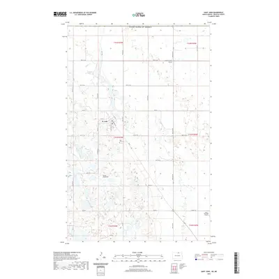
2020 Saint John
Rolette County, ND
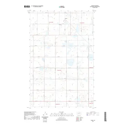
2020 Thorne
Rolette County, ND
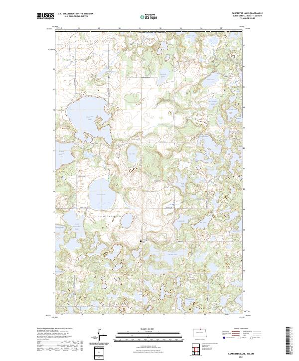
2024 Carpenter Lake
Rolette County, ND
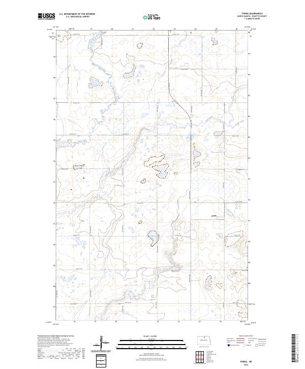
2024 Fonda
Rolette County, ND
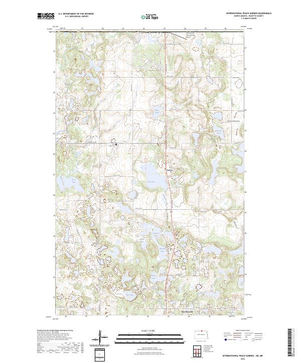
2024 International Peace Garden
Rolette County, ND
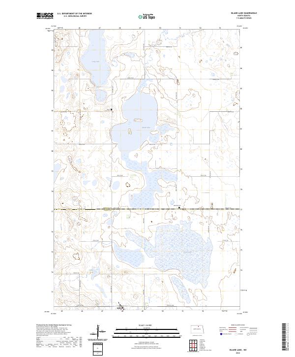
2024 Island Lake
Rolette County, ND
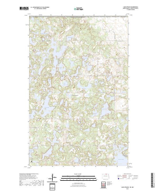
2024 Lake Upsilon
Rolette County, ND
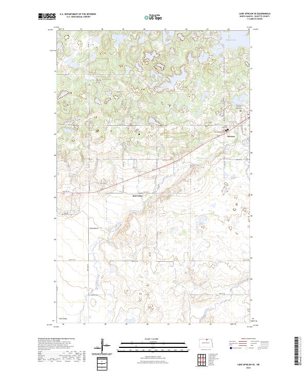
2024 Lake Upsilon SE
Rolette County, ND
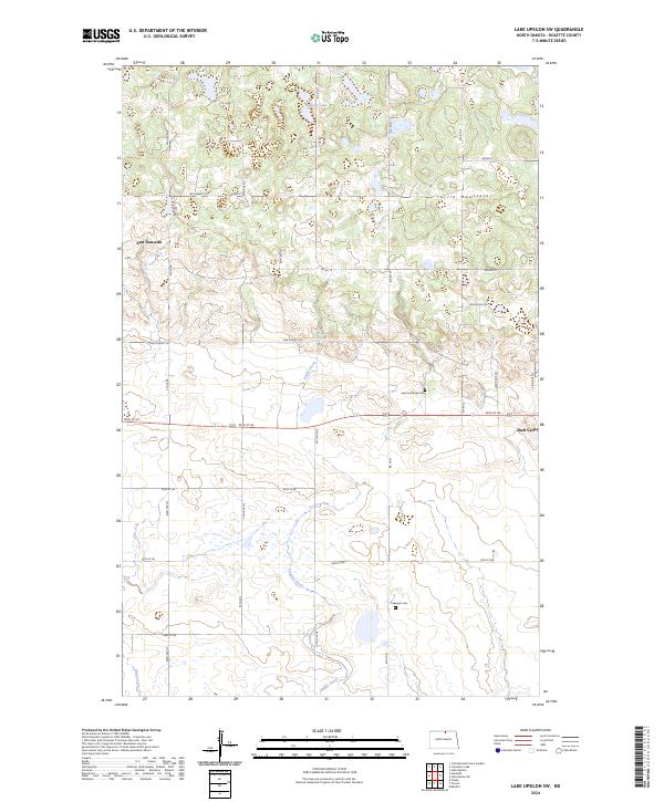
2024 Lake Upsilon SW
Rolette County, ND
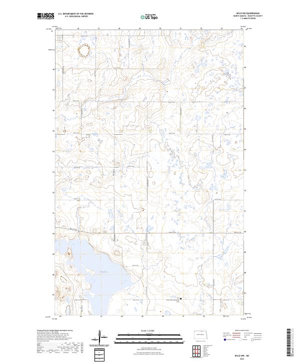
2024 Mylo NW
Rolette County, ND
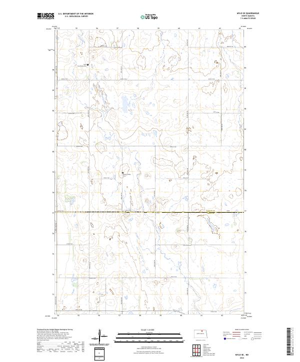
2024 Mylo SE
Rolette County, ND
2024 Nanson
Rolette County, ND
2024 Overly SE
Rolette County, ND
2024 Rolette SW
Rolette County, ND
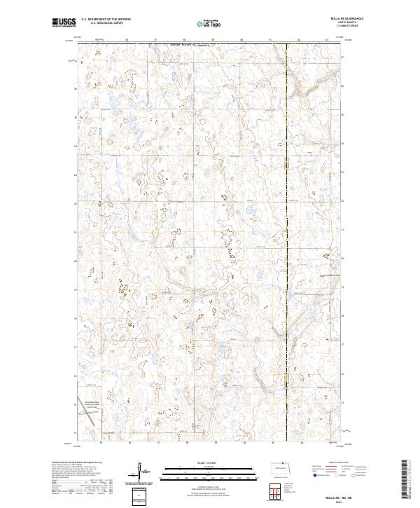
2024 Rolla NE
Rolette County, ND
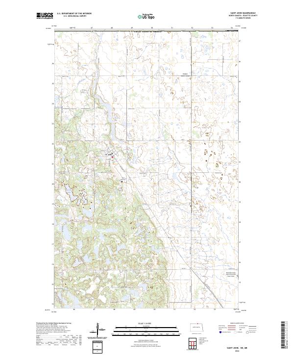
2024 Saint John
Rolette County, ND
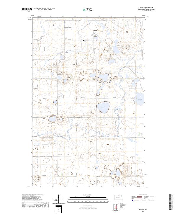
2024 Thorne
Rolette County, ND
Featured Locations
- Rolette County, ND
- Shell Valley Township, ND
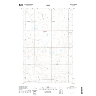
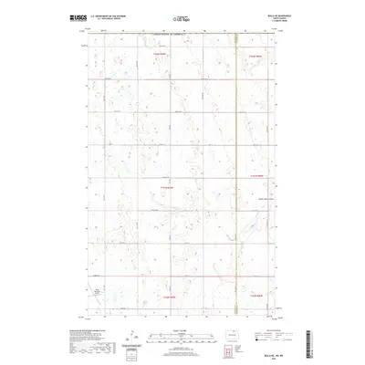
- Belcourt, ND
- Maryville Township, ND
- Shell Valley, Shell Valley Township