2020s Maps of Cannon Ball, North Dakota
Explore 12 historic maps of Cannon Ball from the 2020s. These maps offer a rare glimpse into what life looked like during the 2020s — showing old roads, neighborhoods, homes, and landmarks that have changed or disappeared over time.
Whether you're researching your family's past, planning a metal detecting trip, or studying how Cannon Ball's landscape evolved across the 2020s, these high-resolution maps are a powerful tool for exploring the history of this region.
- Focus on a specific era: All maps on this page are from the 2020s, giving you a focused view of this time period.
- See what’s changed: Compare century-old streets, trails, and buildings to today's modern landscape using overlays and satellite layers.
- Research with precision: Use these maps for genealogy, historical research, land use analysis, or educational projects.
- View, download, or print: Maps are fully viewable online in high resolution, and can be downloaded or printed for your own records.
Start exploring Cannon Ball's history through authentic maps from the 2020s. This is your window into the past.
Cannon Ball, ND maps
(12)- 2020 Map of Cannon Ball SW, 2020 Print
 2020 Cannon Ball SW2020 Print · USGSCovers Cannon Ball, including Cannonball District, Fort Yates District, and other nearby areas
 - 2020 Map of Cannon Ball, 2020 Print
 2020 Cannon Ball2020 Print · USGSCovers Cannon Ball, including Cannonball District, Morton County, and other nearby areas
 - 2020 Map of Cannon Ball SE, 2020 Print
 2020 Cannon Ball SE2020 Print · USGSCovers Cannon Ball, including Cannonball District, Fort Yates District, and other nearby areas
 - 2020 Map of Cannon Ball NW, 2020 Print
 2020 Cannon Ball NW2020 Print · USGSCovers Cannon Ball, including Cannonball District, Morton County, and other nearby areas
 - 2020 Map of Fort Yates NW, 2020 Print
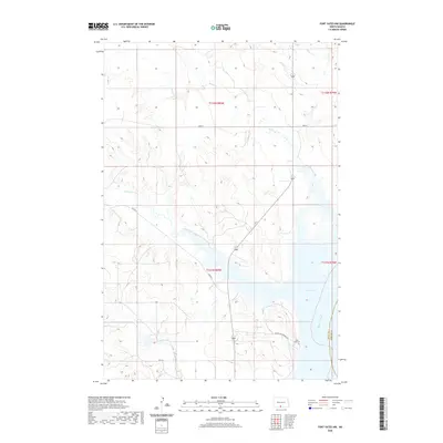 2020 Fort Yates NW2020 Print · USGSCovers Cannon Ball, including Fort Yates District, Sioux County, and other nearby areas
 - 2020 Map of Fort Yates NE, 2020 Print
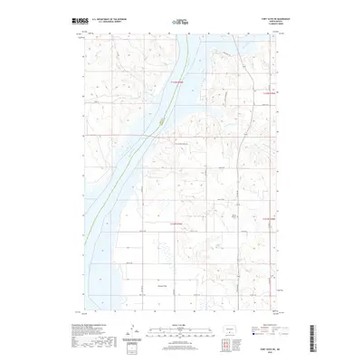 2020 Fort Yates NE2020 Print · USGSCovers Cannon Ball, including Fort Yates District, Sioux County, and other nearby areas
 - 2024 Map of Cannon Ball SW, 2024 Print
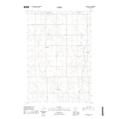
 2024 Cannon Ball SW2024 Print · USGSSioux County at the start of the 2020s remains a landscape of open prairie and essential waterways. Researchers can trace the drainage patterns of Beaver Holes Creek and Foot Bear Creek alongside the rural routes of S Big Lake Rd and Cannon Ball.
 - 2024 Map of Cannon Ball NW, 2024 Print
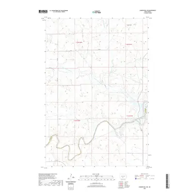
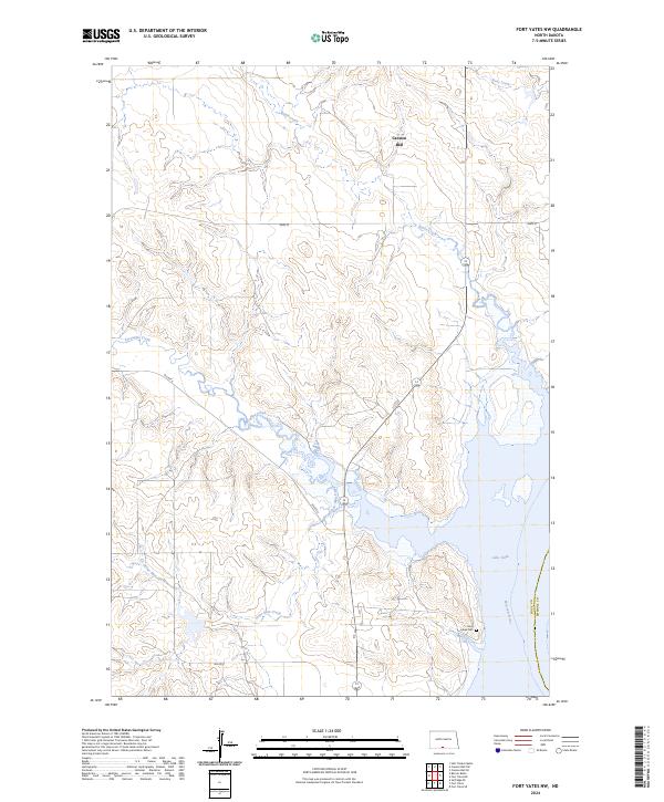
 2024 Cannon Ball NW2024 Print · USGSThe Morton and Sioux county line follows the winding path of the Cannonball River in this recent survey of the North Dakota plains. Researchers can trace the drainage patterns of Cantapeta Creek and locate landmarks like Castle Butte near the settlement of Cannon Ball.
 - 2024 Map of Cannon Ball, 2024 Print
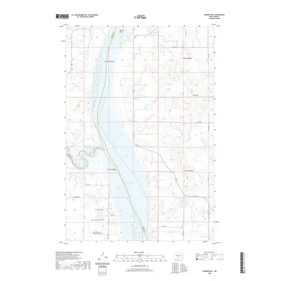
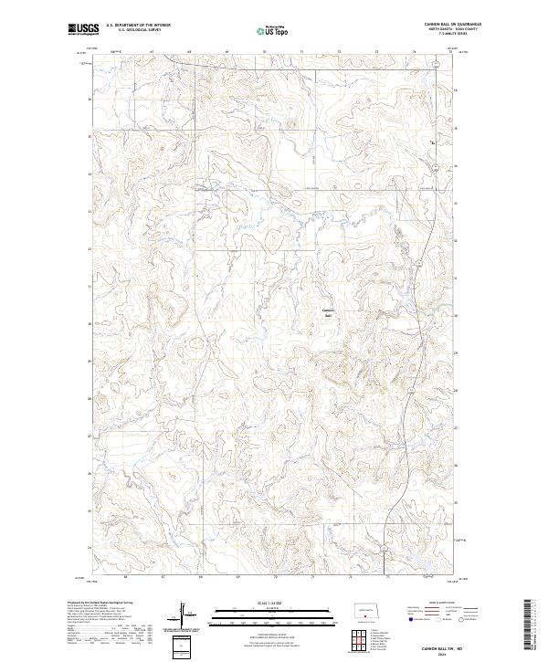
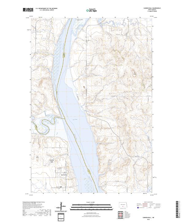 2024 Cannon Ball2024 Print · USGSThe Missouri River valley in Sioux and Emmons counties remains a landscape of river-bend settlements and upland buttes in this recent survey. Genealogists and local historians can locate the Saint Elizabeth's Catholic Cem and Badger School while tracing the waters of Lake Oahe.
 - 2024 Map of Cannon Ball SE, 2024 Print
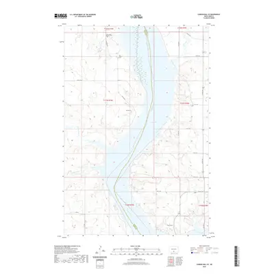
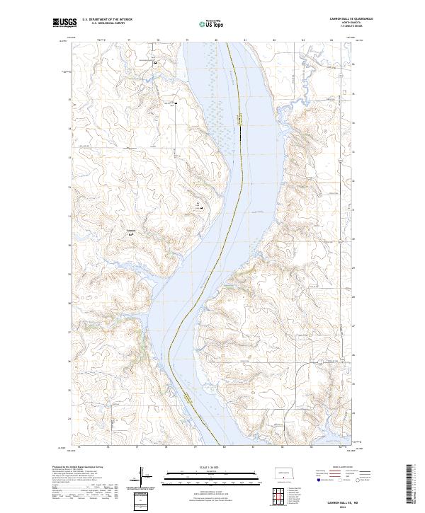 2024 Cannon Ball SE2024 Print · USGSEmmons County on the Missouri River is captured here in its modern form, where the massive waters of Lake Oahe meet the prairie. Genealogists can locate rural burial sites like the Saint James Episcopal Cem and Big Lake Cem near Cannon Ball.
 - 2024 Map of Fort Yates NE, 2024 Print
 2024 Fort Yates NE2024 Print · USGSThe Missouri River valley along the Sioux and Emmons County border is captured here in its modern form. Genealogists and historians can locate the Worms Lutheran Cem and the settlement at Cannon Ball or trace the geography of Winona Flats.
 - 2024 Map of Fort Yates NW, 2024 Print
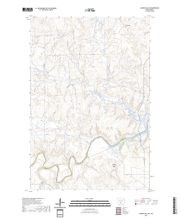
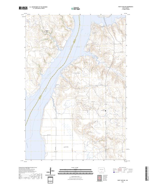
 2024 Fort Yates NW2024 Print · USGSThe Missouri River valley near Cannon Ball is captured in this modern survey, showing where the river expands into Lake Oahe. Researchers can trace the drainages of Stone Man Creek and Porcupine Creek or locate the site of Saint Lukes Cem.
End of results
Showing maps 1-12 of 12
Top cities near Cannon Ball
Frequently asked questions
- What are the different types of historical maps available for Cannon Ball?
- What is the oldest map of Cannon Ball?
- Where can I purchase historical maps of Cannon Ball for my home or office?
- Where can I download high-res historical maps of Cannon Ball?
- Are there historical topographic maps available for Cannon Ball?
- Is there historical aerial imagery available for Cannon Ball?
- Where are historical maps of Cannon Ball sourced from?