Old Maps of Belfield, North Dakota for Academic Research
Study the evolution of Belfield with 10 high-resolution historic maps. Whether you're teaching, researching, or modeling changes in land use, these maps provide essential visual documentation of urban, environmental, and geographic change.
- Analyze long-term change: Track patterns in development, transportation, and natural features.
- Ideal for environmental or urban studies: Support academic projects with primary historical map data.
- Use in the classroom or lab: Educators and researchers rely on these maps to bring historical context to life.
These maps are a powerful tool for teaching, research, and visualizing how Belfield has changed over the decades.
Belfield, ND maps
(10)- 1953 Map of Dickinson, 1968 Print
 1953 Dickinson1968 Print · USGSWestern North Dakota in the fifties remains a landscape of rail-linked prairie towns and rugged badlands. Trace the local impact of the Northern Pacific railroad through Dickinson or locate early rural landmarks like Rainy Butte Church and Boys Ranch.2 unique versions available
 - 1957 Map of Dickinson
 1957 Dickinson1957 Print · USGSSouthwestern North Dakota in the mid-fifties is a landscape of coal mining and tight-knit rural school districts. Genealogists can trace family footprints through numerous country schools like Fisher School and parish churches like St Stephens.
 - 1962 Map of Belfield, 1964 Print
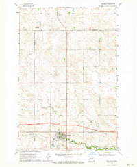 1962 Belfield1964 Print · USGSBelfield and the surrounding plains of the Stark and Billings county line are captured here in the early sixties as new infrastructure began to reshape the region. Researchers can trace the path of the Northern Pacific railroad and locate community sites like St Stanislaus Cem and Truelson Sch.2 unique versions available
 - 1980 Map of Belfield, 1981 Print
 1980 Belfield1981 Print · USGSThe North Dakota badlands and the Little Missouri River valley are captured here in the early eighties as energy development and conservation shaped the land. Genealogists and researchers can trace the rail corridor through Medora, Sully Springs, and Beach, or locate early industrial sites like Ridl Mine and the Fryburg Oil Field.
 - 1997 Map of Belfield, 2001 Print
 1997 Belfield2001 Print · USGSBelfield and the surrounding North Dakota plains are captured here in the late nineties at a time of continued mineral extraction and agricultural use. Researchers can locate St Stanislaus Cem, trace the course of the Heart River, and identify various Scoria Pits.
 - 2011 Map of Belfield, 2011 Print
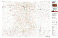
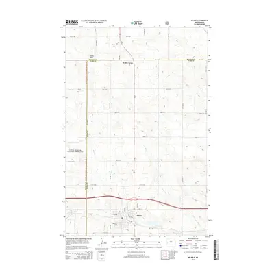
 2011 Belfield2011 Print · USGSCovers Belfield, including Six Mile Corner, Stark County, and other nearby areas
 - 2014 Map of Belfield, 2014 Print
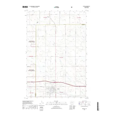
 2014 Belfield2014 Print · USGSCovers Belfield, including Six Mile Corner, Stark County, and other nearby areas
 - 2018 Map of Belfield, 2018 Print
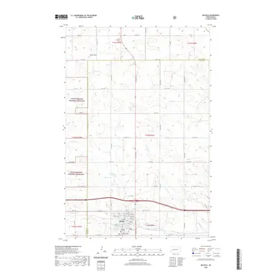
 2018 Belfield2018 Print · USGSCovers Belfield, including Six Mile Corner, Stark County, and other nearby areas
 - 2020 Map of Belfield, 2020 Print
 2020 Belfield2020 Print · USGSCovers Belfield, including Six Mile Corner, Stark County, and other nearby areas
 - 2024 Map of Belfield, 2024 Print
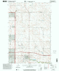
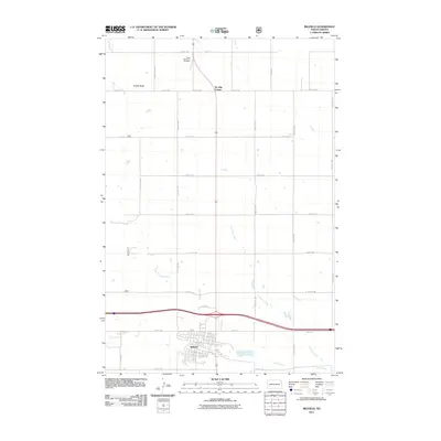
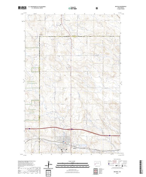 2024 Belfield2024 Print · USGSBelfield and the High Plains of western North Dakota are shown in detail as they appear today. Genealogists can trace family plots at Saint Bernards Catholic Cem or explore the landscape around Saddle Butte and the Heart River.
End of results
Showing maps 1-10 of 10
Top cities near Belfield
Frequently asked questions
- What are the different types of historical maps available for Belfield?
- What is the oldest map of Belfield?
- Where can I purchase historical maps of Belfield for my home or office?
- Where can I download high-res historical maps of Belfield?
- Are there historical topographic maps available for Belfield?
- Is there historical aerial imagery available for Belfield?
- Where are historical maps of Belfield sourced from?