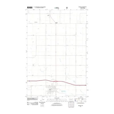
2011 Map of Belfield
USGS Topo · Published 2011About this map
The city of Belfield anchors the southern portion of this Stark County landscape, situated at a vital crossroads where local routes like 1st Ave NE and Hwy-10 E intersect. The terrain is defined by the winding course of the Heart River, which flows through the prairie alongside tributaries such as Coal Mine Creek. To the north, the elevation rises toward Saddle Butte, a distinct landform overlooking the grid of section roads that characterize the region. This 2011 survey illustrates the rural nature of the area, punctuated by landmarks like the Saint Stanislaus Cemetery and the small junction at Six Mile Corner. The map reflects the enduring agricultural layout of the North Dakota plains, showing the relationship between the town center and the surrounding reaches of the river valley.
Find a feature on this map
28 named features on this map. Tap any name to fly to it.
Don’t see what you’re looking for? This feature index may not catch every label — zoom into the map to look around manually.
Map Details
Editions of this 2011 Belfield Map
This is the sole edition of this map. No revisions or reprints were ever made.
Other maps of this area

1953 · Dickinson
USGS Topo · 1:250,000

1953 · Watford City
USGS Topo · 1:250,000

1957 · Dickinson
USGS Topo · 1:250,000

1957 · Watford City
USGS Topo · 1:250,000

1962 · Fryburg NE
USGS Topo · 1:24,000

1962 · Belfield NE
USGS Topo · 1:24,000

1962 · Belfield SW
USGS Topo · 1:24,000

1962 · Fryburg
USGS Topo · 1:24,000

1962 · Belfield
USGS Topo · 1:24,000

1962 · Belfield SE
USGS Topo · 1:24,000