2020s Maps of Enger Township, North Dakota
Explore 8 historic maps of Enger Township from the 2020s. These maps offer a rare glimpse into what life looked like during the 2020s — showing old roads, neighborhoods, homes, and landmarks that have changed or disappeared over time.
Whether you're researching your family's past, planning a metal detecting trip, or studying how Enger Township's landscape evolved across the 2020s, these high-resolution maps are a powerful tool for exploring the history of this region.
- Focus on a specific era: All maps on this page are from the 2020s, giving you a focused view of this time period.
- See what’s changed: Compare century-old streets, trails, and buildings to today's modern landscape using overlays and satellite layers.
- Research with precision: Use these maps for genealogy, historical research, land use analysis, or educational projects.
- View, download, or print: Maps are fully viewable online in high resolution, and can be downloaded or printed for your own records.
Start exploring Enger Township's history through authentic maps from the 2020s. This is your window into the past.
Enger Township, ND maps
(8)- 2020 Map of Hatton SW, 2020 Print
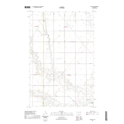 2020 Hatton SW2020 Print · USGSCovers Enger Township, including Portland, Newburgh Township, and other nearby areas
 - 2020 Map of Hope NE, 2020 Print
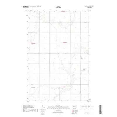 2020 Hope NE2020 Print · USGSCovers Enger Township, including Sherbrooke Township, Edendale Township, and other nearby areas
 - 2020 Map of Galesburg NW, 2020 Print
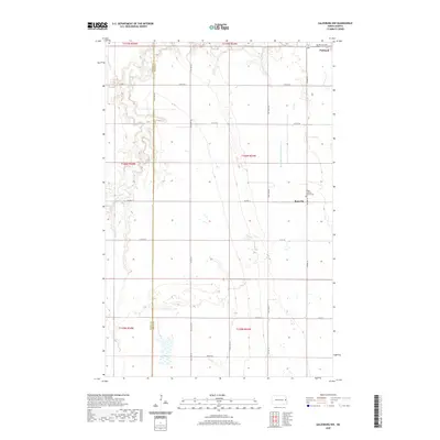 2020 Galesburg NW2020 Print · USGSCovers Enger Township, including Portland, Roseville, and other nearby areas
 - 2020 Map of Northwood SE, 2020 Print
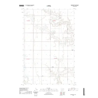 2020 Northwood SE2020 Print · USGSCovers Enger Township, including Golden Lake Township, Beaver Creek Township, and other nearby areas
 - 2024 Map of Hatton SW, 2024 Print
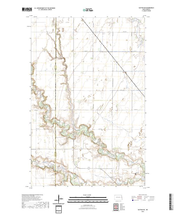 2024 Hatton SW2024 Print · USGSThe eastern North Dakota prairie is captured here in the mid-2020s, centered on the branching waters of the Goose River. Genealogists and local historians can locate the Aurdal Cem and trace the section-line roads like 144th Ave NE that have defined these townships for generations.
 - 2024 Map of Northwood SE, 2024 Print
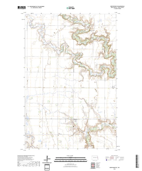 2024 Northwood SE2024 Print · USGSSteele County's prairie landscape is defined by the winding Goose River and the legacies of early settlers in the 2020s. Genealogists can trace family footprints through numerous local sites like Berg Graveyard Cem, Severson Cem, and Bang Church Cem.
 - 2024 Map of Galesburg NW, 2024 Print
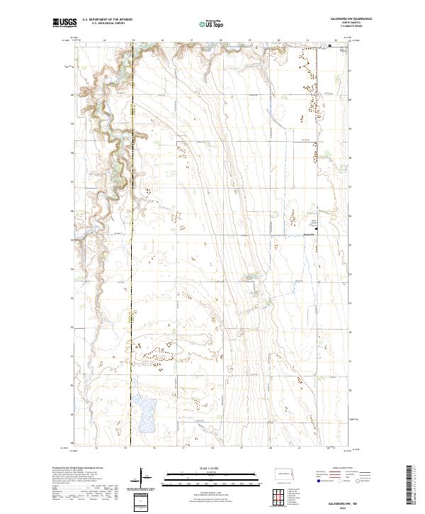 2024 Galesburg NW2024 Print · USGSEastern North Dakota farming country comes into focus here along the border of Steele and Traill counties. Genealogists and local historians can locate the Roseville settlement, the Trinity Lutheran Church Cem, and the winding South Branch Goose River.
 - 2024 Map of Hope NE, 2024 Print
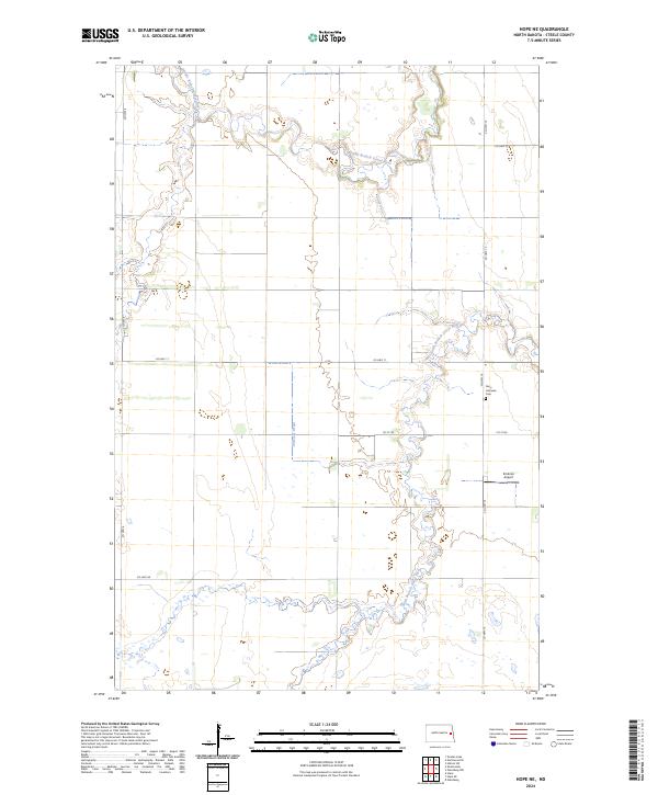 2024 Hope NE2024 Print · USGSSteele County's quiet prairie landscape is documented in the mid-2020s, showing the intersection of agricultural life and natural drainages. Researchers can locate the Perry Lutheran Cem and trace the winding South Branch Goose River through the township grid.
End of results
Showing maps 1-8 of 8
Top cities near Enger Township
- Mayville historical maps
- Northwood historical maps
- Hatton historical maps
- Portland historical maps
- Hope historical maps
- Colgate Township historical maps
See more
Frequently asked questions
- What are the different types of historical maps available for Enger Township?
- What is the oldest map of Enger Township?
- Where can I purchase historical maps of Enger Township for my home or office?
- Where can I download high-res historical maps of Enger Township?
- Are there historical topographic maps available for Enger Township?
- Is there historical aerial imagery available for Enger Township?
- Where are historical maps of Enger Township sourced from?