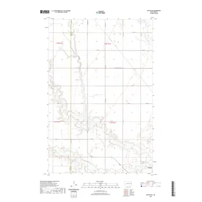
2020 Map of Hatton SW
USGS Topo · Published 2020About this map
Portland sits at the southeastern edge of this prairie landscape, where the agricultural grid meets the winding riparian corridors of the eastern North Dakota plains. The survey area is defined by the complex convergence of several waterways, including the Goose River, the North Branch Goose River, and the South Branch Goose River. These streams create deeply incised meanders across the townships, providing a sharp contrast to the straight section lines of 144th Ave NE and Co Hwy 21.
Find a feature on this map
27 named features on this map. Tap any name to fly to it.
Don’t see what you’re looking for? This feature index may not catch every label — zoom into the map to look around manually.
Map Details
Editions of this 2020 Hatton SW Map
This is the sole edition of this map. No revisions or reprints were ever made.
Other maps of this area

1952 · Grand Forks
USGS Topo · 1:250,000

1956 · Grand Forks
USGS Topo · 1:250,000

1966 · Grand Forks
USGS Topo · 1:250,000

1967 · Mayville South
USGS Topo · 1:24,000

1968 · Hope NE
USGS Topo · 1:24,000
1968 · Galesburg NW
USGS Topo · 1:24,000
1970 · Northwood SE
USGS Topo · 1:24,000
1970 · Hatton
USGS Topo · 1:24,000
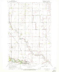
1970 · Mayville North
USGS Topo · 1:24,000
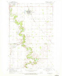
1970 · Northwood
USGS Topo · 1:24,000