Old Maps of Franklin Township, North Dakota for Hiking & Exploration
Hike through history with 29 historic maps of Franklin Township. Explore old trails, ghost towns, and forgotten backroads — perfect for outdoor adventurers and local explorers.
- Rediscover forgotten places: Map out old mining camps, roads, and footpaths that no longer exist on modern maps.
- Layer with modern tools: Combine with LiDAR or satellite views to plan hikes through historical terrain.
- Made for exploration: Popular among hikers, overlanders, and local history lovers.
Use these maps to find adventure and explore the hidden past of Franklin Township.
Franklin Township, ND maps
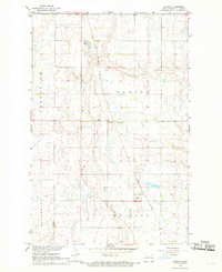
(29)- 1952 Map of Grand Forks, 1967 Print
 1952 Grand Forks1967 Print · USGSThe Red River Valley in the early fifties is shown here at the height of its rail-and-river agricultural economy. Researchers can locate small-town landmarks like the Pleasant View School, the Immanuel Lutheran Church, and trace the path of the Soo Line Railroad.3 unique versions available
 - 1956 Map of Grand Forks
 1956 Grand Forks1956 Print · USGSThe Red River Valley in the mid-fifties is captured here as a thriving corridor of grain elevators and rail-linked towns along the North Dakota and Minnesota border. Researchers can trace historic church sites like Immanuel Lutheran Church, vanished rail stops at Tilde Junction, and the boundaries of the White Earth Indian Reservation.
 - 1966 Map of Grand Forks
 1966 Grand Forks1966 Print · USGSThe Red River Valley in the mid-sixties shows a landscape shaped by rail-line commerce and complex water management. Genealogists and historians can trace rail-side towns like Emerado and Hunter or locate rural landmarks like the Pleasant View Church.
 - 1967 Map of Blabon, 1969 Print
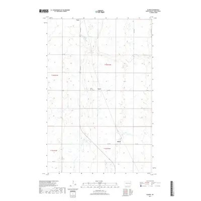
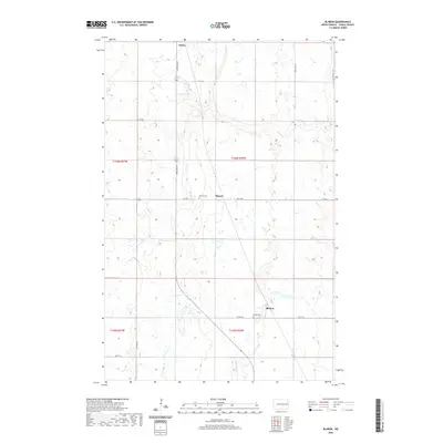
 1967 Blabon1969 Print · USGSSteel County farmland and the Great Northern rail corridor are captured here during the late sixties. Genealogists and local historians can locate the St Petri Ch and St Petri Cem, as well as the small communities of Blabon and Pickert.
 - 1967 Map of Finley, 1969 Print
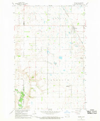
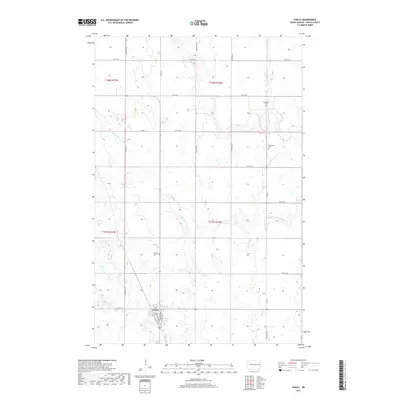
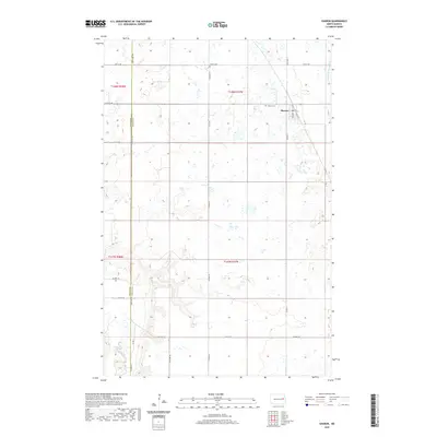
 1967 Finley1969 Print · USGSThe Steele County prairie in the late sixties reveals a landscape of railroad-dependent commerce and scattered homesteads. Genealogists can trace family roots through several rural burial grounds like Ebenezer Cem and Gilbertson Cem, or locate landmarks like Ostervold Ch.
 - 1967 Map of Sharon, 1969 Print
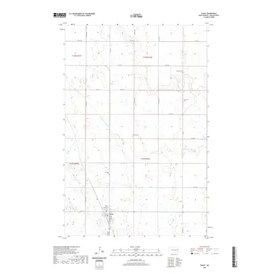
 1967 Sharon1969 Print · USGSSteel County and Griggs County were defined by prairie rail towns and winding rivers during the late sixties. Genealogists and local historians can trace the Great Northern rail corridor through Sharon and locate family plots at Trinity Cem or Sharon Cem.
 - 1967 Map of Luverne NW, 1969 Print
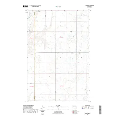
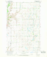 1967 Luverne NW1969 Print · USGSThe Griggs and Steele County line in the late sixties reveals a quiet prairie landscape shaped by the Sheyenne River. Genealogists and local historians can locate rural landmarks such as Sheyenne Valley Ch, Hofva Ch, and the Ness Ch Cem.
 - 1985 Map of Grand Forks
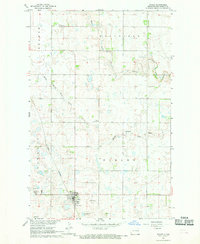
 1985 Grand Forks1985 Print · USGSThe Red River Valley in the mid-1980s was a landscape of deep-rooted agriculture and rising military significance. Genealogists and researchers can trace the rail-tied development of towns like Larimore and Northwood alongside major landmarks like Grand Forks Air Force Base and Turtle River State Park.2 unique versions available
 - 1985 Map of Hillsboro
 1985 Hillsboro1985 Print · USGSEastern North Dakota’s expansive farming country is mapped here in the mid-1980s, showing the vital link between rail lines and prairie towns. Genealogists and historians can trace family locations near Mayville, Sherbrooke, and the Mayville Cem.2 unique versions available
 - 2011 Map of Blabon, 2011 Print
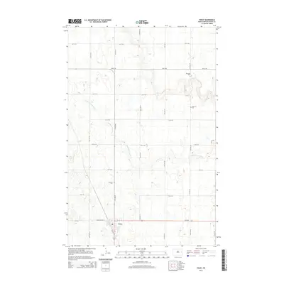
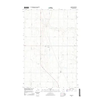
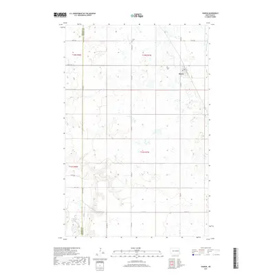
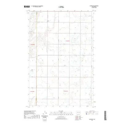
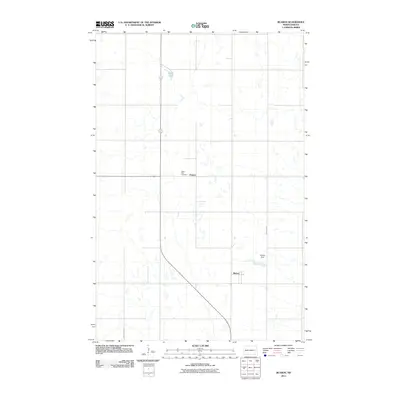 2011 Blabon2011 Print · USGSCovers Franklin Township, including Finley, Pickert, and other nearby areas
 - 2011 Map of Finley, 2011 Print
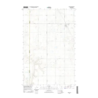
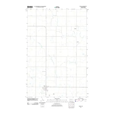 2011 Finley2011 Print · USGSCovers Franklin Township, including Finley, Sharon Township, and other nearby areas
 - 2011 Map of Sharon, 2011 Print
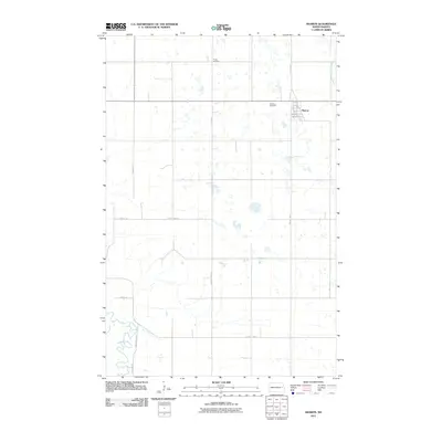 2011 Sharon2011 Print · USGSCovers Franklin Township, including Sharon, Sharon Township, and other nearby areas
 - 2011 Map of Luverne NW, 2011 Print
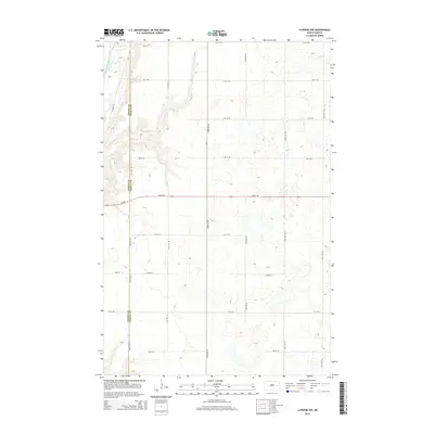
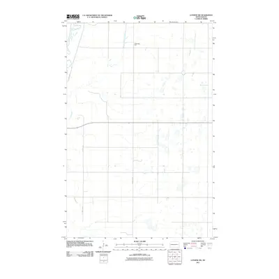 2011 Luverne NW2011 Print · USGSCovers Franklin Township, including Greenview Township, Riverside Township, and other nearby areas
 - 2014 Map of Finley, 2014 Print
 2014 Finley2014 Print · USGSCovers Franklin Township, including Finley, Sharon Township, and other nearby areas
 - 2014 Map of Blabon, 2014 Print
 2014 Blabon2014 Print · USGSCovers Franklin Township, including Finley, Pickert, and other nearby areas
 - 2014 Map of Sharon, 2014 Print
 2014 Sharon2014 Print · USGSCovers Franklin Township, including Sharon, Sharon Township, and other nearby areas
 - 2014 Map of Luverne NW, 2014 Print
 2014 Luverne NW2014 Print · USGSCovers Franklin Township, including Greenview Township, Riverside Township, and other nearby areas
 - 2017 Map of Sharon, 2017 Print
 2017 Sharon2017 Print · USGSCovers Franklin Township, including Sharon, Sharon Township, and other nearby areas
 - 2017 Map of Finley, 2017 Print
 2017 Finley2017 Print · USGSCovers Franklin Township, including Finley, Sharon Township, and other nearby areas
 - 2017 Map of Luverne NW, 2017 Print
 2017 Luverne NW2017 Print · USGSCovers Franklin Township, including Greenview Township, Riverside Township, and other nearby areas
 - 2017 Map of Blabon, 2017 Print
 2017 Blabon2017 Print · USGSCovers Franklin Township, including Finley, Pickert, and other nearby areas
 - 2020 Map of Luverne NW, 2020 Print
 2020 Luverne NW2020 Print · USGSCovers Franklin Township, including Greenview Township, Riverside Township, and other nearby areas
 - 2020 Map of Finley, 2020 Print
 2020 Finley2020 Print · USGSCovers Franklin Township, including Finley, Sharon Township, and other nearby areas
 - 2020 Map of Sharon, 2020 Print
 2020 Sharon2020 Print · USGSCovers Franklin Township, including Sharon, Sharon Township, and other nearby areas
 - 2020 Map of Blabon, 2020 Print
 2020 Blabon2020 Print · USGSCovers Franklin Township, including Finley, Pickert, and other nearby areas
Showing maps 1-25 of 29
Top cities near Franklin Township
- Cooperstown historical maps
- Finley historical maps
- Hope historical maps
- Aneta historical maps
- Sharon historical maps
- Colgate Township historical maps
See more
Frequently asked questions
- What are the different types of historical maps available for Franklin Township?
- What is the oldest map of Franklin Township?
- Where can I purchase historical maps of Franklin Township for my home or office?
- Where can I download high-res historical maps of Franklin Township?
- Are there historical topographic maps available for Franklin Township?
- Is there historical aerial imagery available for Franklin Township?
- Where are historical maps of Franklin Township sourced from?