Old Maps of Hugo Township, North Dakota for Hiking & Exploration
Hike through history with 28 historic maps of Hugo Township. Explore old trails, ghost towns, and forgotten backroads — perfect for outdoor adventurers and local explorers.
- Rediscover forgotten places: Map out old mining camps, roads, and footpaths that no longer exist on modern maps.
- Layer with modern tools: Combine with LiDAR or satellite views to plan hikes through historical terrain.
- Made for exploration: Popular among hikers, overlanders, and local history lovers.
Use these maps to find adventure and explore the hidden past of Hugo Township.
Hugo Township, ND maps
(28)- 1952 Map of Grand Forks, 1967 Print
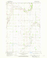
 1952 Grand Forks1967 Print · USGSThe Red River Valley in the early fifties is shown here at the height of its rail-and-river agricultural economy. Researchers can locate small-town landmarks like the Pleasant View School, the Immanuel Lutheran Church, and trace the path of the Soo Line Railroad.3 unique versions available
 - 1956 Map of Grand Forks
 1956 Grand Forks1956 Print · USGSThe Red River Valley in the mid-fifties is captured here as a thriving corridor of grain elevators and rail-linked towns along the North Dakota and Minnesota border. Researchers can trace historic church sites like Immanuel Lutheran Church, vanished rail stops at Tilde Junction, and the boundaries of the White Earth Indian Reservation.
 - 1966 Map of Grand Forks
 1966 Grand Forks1966 Print · USGSThe Red River Valley in the mid-sixties shows a landscape shaped by rail-line commerce and complex water management. Genealogists and historians can trace rail-side towns like Emerado and Hunter or locate rural landmarks like the Pleasant View Church.
 - 1966 Map of Hope SE, 1968 Print
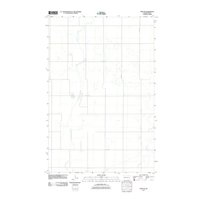
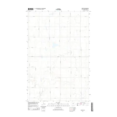
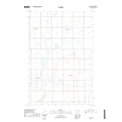
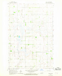 1966 Hope SE1968 Print · USGSSteele County's agricultural grid and prairie wetlands are documented here in the mid-1960s. Genealogists and local historians can trace property locations within Hugo and Broadlawn or locate landmarks like Fullers Lake and the Gravel Pit.
 - 1968 Map of Hope NE, 1970 Print
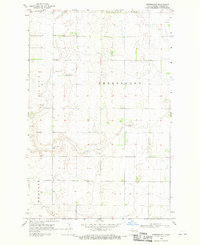
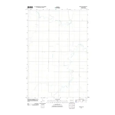
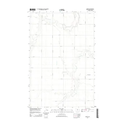
 1968 Hope NE1970 Print · USGSSteele County's agricultural heartland is documented in the late sixties as the river systems shaped the rural landscape. Genealogists can trace family farmsteads near Perry Ch, the local Townhall, and along the winding Goose River.
 - 1968 Map of Sherbrooke, 1970 Print
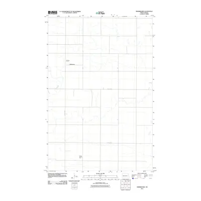
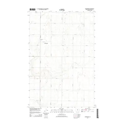
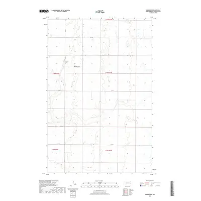
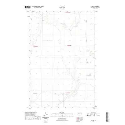
 1968 Sherbrooke1970 Print · USGSThe Steele County prairie in the mid-1960s reveals a landscape of organized agriculture and small-town infrastructure. Genealogists and local historians can locate the Sherbrooke Cem and trace the section lines through Sherbrooke and Easton.
 - 1968 Map of Hope, 1970 Print
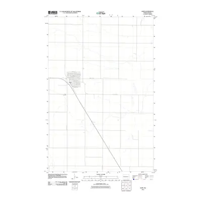
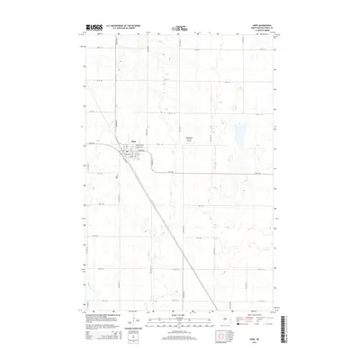
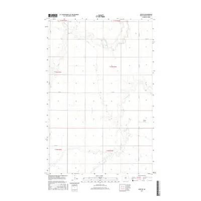
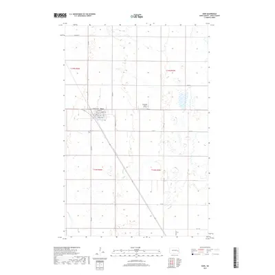
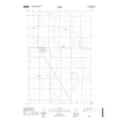
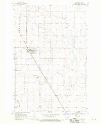 1968 Hope1970 Print · USGSThe town of Hope is captured in the late sixties as a thriving prairie rail stop at the junction of three townships. Genealogists and local historians can trace the GREAT NORTHERN railroad, locate the Hope Cem, and map old Gravel Pit operations.
 - 1985 Map of Hillsboro
 1985 Hillsboro1985 Print · USGSEastern North Dakota’s expansive farming country is mapped here in the mid-1980s, showing the vital link between rail lines and prairie towns. Genealogists and historians can trace family locations near Mayville, Sherbrooke, and the Mayville Cem.2 unique versions available
 - 2011 Map of Hope, 2011 Print
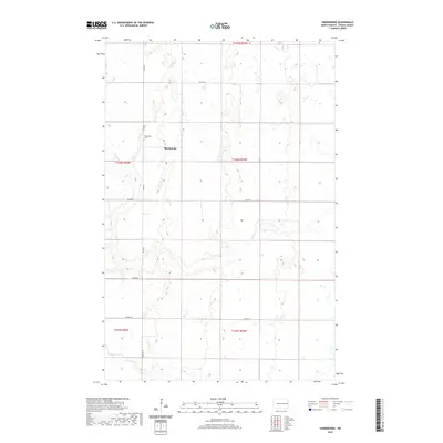
 2011 Hope2011 Print · USGSCovers Hugo Township, including Hope, Colgate Township, and other nearby areas
 - 2011 Map of Hope NE, 2011 Print
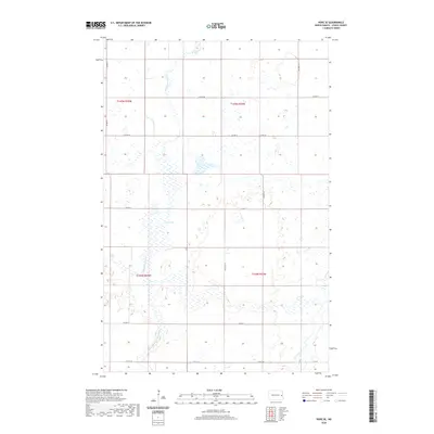
 2011 Hope NE2011 Print · USGSCovers Hugo Township, including Sherbrooke Township, Edendale Township, and other nearby areas
 - 2011 Map of Sherbrooke, 2011 Print
 2011 Sherbrooke2011 Print · USGSCovers Hugo Township, including Sherbrooke Township, Golden Lake Township, and other nearby areas
 - 2011 Map of Hope SE, 2011 Print
 2011 Hope SE2011 Print · USGSCovers Hugo Township, including Colgate Township, Edendale Township, and other nearby areas
 - 2014 Map of Hope SE, 2014 Print
 2014 Hope SE2014 Print · USGSCovers Hugo Township, including Colgate Township, Edendale Township, and other nearby areas
 - 2014 Map of Hope NE, 2014 Print
 2014 Hope NE2014 Print · USGSCovers Hugo Township, including Sherbrooke Township, Edendale Township, and other nearby areas
 - 2014 Map of Hope, 2014 Print
 2014 Hope2014 Print · USGSCovers Hugo Township, including Hope, Colgate Township, and other nearby areas
 - 2014 Map of Sherbrooke, 2014 Print
 2014 Sherbrooke2014 Print · USGSCovers Hugo Township, including Sherbrooke Township, Golden Lake Township, and other nearby areas
 - 2017 Map of Hope NE, 2017 Print
 2017 Hope NE2017 Print · USGSCovers Hugo Township, including Sherbrooke Township, Edendale Township, and other nearby areas
 - 2017 Map of Hope, 2017 Print
 2017 Hope2017 Print · USGSCovers Hugo Township, including Hope, Colgate Township, and other nearby areas
 - 2017 Map of Hope SE, 2017 Print
 2017 Hope SE2017 Print · USGSCovers Hugo Township, including Colgate Township, Edendale Township, and other nearby areas
 - 2018 Map of Sherbrooke, 2018 Print
 2018 Sherbrooke2018 Print · USGSCovers Hugo Township, including Sherbrooke Township, Golden Lake Township, and other nearby areas
 - 2020 Map of Sherbrooke, 2020 Print
 2020 Sherbrooke2020 Print · USGSCovers Hugo Township, including Sherbrooke Township, Golden Lake Township, and other nearby areas
 - 2020 Map of Hope, 2020 Print
 2020 Hope2020 Print · USGSCovers Hugo Township, including Hope, Colgate Township, and other nearby areas
 - 2020 Map of Hope SE, 2020 Print
 2020 Hope SE2020 Print · USGSCovers Hugo Township, including Colgate Township, Edendale Township, and other nearby areas
 - 2020 Map of Hope NE, 2020 Print
 2020 Hope NE2020 Print · USGSCovers Hugo Township, including Sherbrooke Township, Edendale Township, and other nearby areas
 - 2024 Map of Hope, 2024 Print
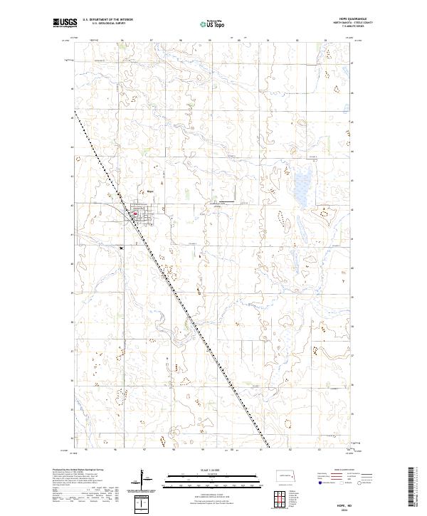 2024 Hope2024 Print · USGSSteele County's agricultural heartland and the town of Hope are documented in this contemporary survey of the North Dakota prairie. Trace local family roots at Hope Cem or explore the conservation lands of the Steele County Waterfowl Production Area.
Showing maps 1-25 of 28
Top cities near Hugo Township
- Finley historical maps
- Hope historical maps
- Page historical maps
- Sharon historical maps
- Colgate Township historical maps
- Sherbrooke Township historical maps
See more
Frequently asked questions
- What are the different types of historical maps available for Hugo Township?
- What is the oldest map of Hugo Township?
- Where can I purchase historical maps of Hugo Township for my home or office?
- Where can I download high-res historical maps of Hugo Township?
- Are there historical topographic maps available for Hugo Township?
- Is there historical aerial imagery available for Hugo Township?
- Where are historical maps of Hugo Township sourced from?