Old Maps of Maza, North Dakota for Metal Detecting
Plan your next treasure hunt with 10 historic maps of Maza. Find old homesites, ghost towns, trails, and gathering spots that may be lost to time — perfect for identifying promising metal detecting locations.
- Locate forgotten sites: Uncover places like long-lost settlements, abandoned rail lines, or gathering spots.
- Plan better hunts: Use map overlays combined with LiDAR or satellite views to narrow in on historically rich areas.
- Made for detectorists: Thousands of hobbyists use these maps to discover relics, coins, and hidden history.
Use these historic maps to boost your research and find new opportunities beneath the surface of Maza.
Maza, ND maps
(10)- 1953 Map of Devils Lake, 1968 Print
 1953 Devils Lake1968 Print · USGSNorth Dakota's northern plains are captured here in the mid-fifties, showing a landscape of rail-fed grain elevators and prairie wetlands. Genealogists can locate family landmarks like Rose Hill School, Hurricane Lake Church, and the Turtle Mountain Indian Reservation.3 unique versions available
 - 1956 Map of Devils Lake
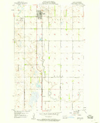
 1956 Devils Lake1956 Print · USGSNorthern North Dakota is shown at a mid-century peak of rail-driven agriculture, where the Soo Line and Great Northern railroads cross the prairie. Trace the borders of the Turtle Mountain Indian Reservation and locate local landmarks like Rose Hill School or Camp Grafton.
 - 1957 Map of Cando, 1958 Print
 1957 Cando1958 Print · USGSCando and the surrounding Towner County prairie are captured in the late fifties, dominated by the vital rail corridor of the GREAT NORTHERN. Genealogists can locate family sites at Olson Cem and Cando Cem, or trace the rural school district at Gopher Sch No 4.
 - 1985 Map of Leeds, 1994 Print
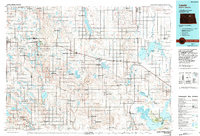 1985 Leeds1994 Print · USGSBenson and Ramsey counties are shown during the mid-eighties as a patchwork of prairie agriculture and vital wetland habitats. Researchers can locate family roots at Knox Cem, trace the Soo Line rail corridors, or explore the fringes of Devils Lake.
 - 1994 Map of Cando
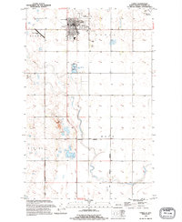 1994 Cando1994 Print · USGSThe prairie hub of Cando is captured in the mid-1990s, showcasing its role as a regional center for Towner County. Genealogists and historians can locate the Cando Cem, the County Fairground, and the southern settlement of Maza.
 - 2011 Map of Cando, 2011 Print
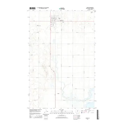
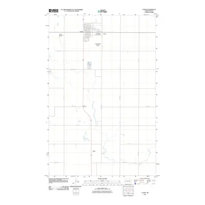 2011 Cando2011 Print · USGSCovers Maza, including Cando, Towner County, and other nearby areas
 - 2014 Map of Cando, 2014 Print
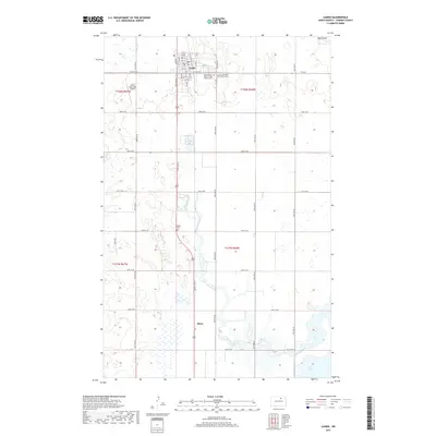
 2014 Cando2014 Print · USGSCovers Maza, including Cando, Towner County, and other nearby areas
 - 2017 Map of Cando, 2017 Print
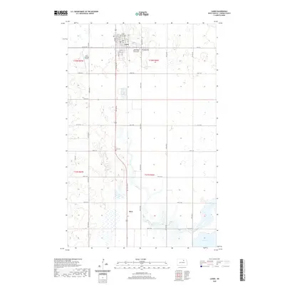
 2017 Cando2017 Print · USGSCovers Maza, including Cando, Towner County, and other nearby areas
 - 2020 Map of Cando, 2020 Print
 2020 Cando2020 Print · USGSCovers Maza, including Cando, Towner County, and other nearby areas
 - 2024 Map of Cando, 2024 Print
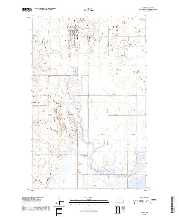 2024 Cando2024 Print · USGSTowner County, North Dakota, is documented here in the early twenty-first century, centered on the seat of Cando and its surrounding wetlands. Researchers can trace the civic center at the Towner County Courthouse or locate family sites at the Independent Order of Odd Fellows Cem and Maza.
End of results
Showing maps 1-10 of 10
Top cities near Maza
- Cando historical maps
- Grand Harbor historical maps
- Churchs Ferry historical maps
- Brinsmade historical maps
Frequently asked questions
- What are the different types of historical maps available for Maza?
- What is the oldest map of Maza?
- Where can I purchase historical maps of Maza for my home or office?
- Where can I download high-res historical maps of Maza?
- Are there historical topographic maps available for Maza?
- Is there historical aerial imagery available for Maza?
- Where are historical maps of Maza sourced from?