2020s Maps of Minot, North Dakota
Explore 6 historic maps of Minot from the 2020s. These maps offer a rare glimpse into what life looked like during the 2020s — showing old roads, neighborhoods, homes, and landmarks that have changed or disappeared over time.
Whether you're researching your family's past, planning a metal detecting trip, or studying how Minot's landscape evolved across the 2020s, these high-resolution maps are a powerful tool for exploring the history of this region.
- Focus on a specific era: All maps on this page are from the 2020s, giving you a focused view of this time period.
- See what’s changed: Compare century-old streets, trails, and buildings to today's modern landscape using overlays and satellite layers.
- Research with precision: Use these maps for genealogy, historical research, land use analysis, or educational projects.
- View, download, or print: Maps are fully viewable online in high resolution, and can be downloaded or printed for your own records.
Start exploring Minot's history through authentic maps from the 2020s. This is your window into the past.
Minot, ND maps
(6)- 2020 Map of Burlington SE, 2020 Print
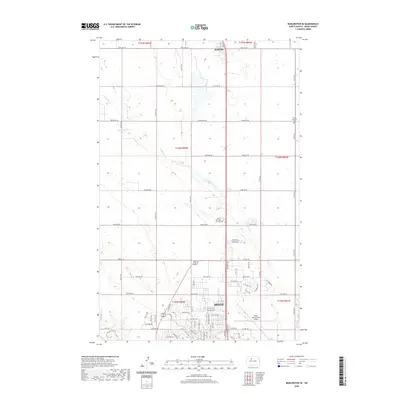 2020 Burlington SE2020 Print · USGSCovers Minot, including Ruthville, Ward County, and other nearby areas
 - 2020 Map of Surrey, 2020 Print
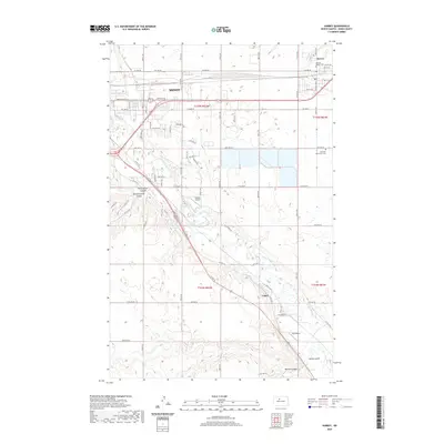 2020 Surrey2020 Print · USGSCovers Minot, including Surrey, Logan, and other nearby areas
 - 2020 Map of Minot, 2020 Print
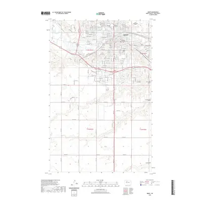 2020 Minot2020 Print · USGSCovers Minot, including Ward County, United States, and other nearby areas
 - 2024 Map of Minot, 2024 Print
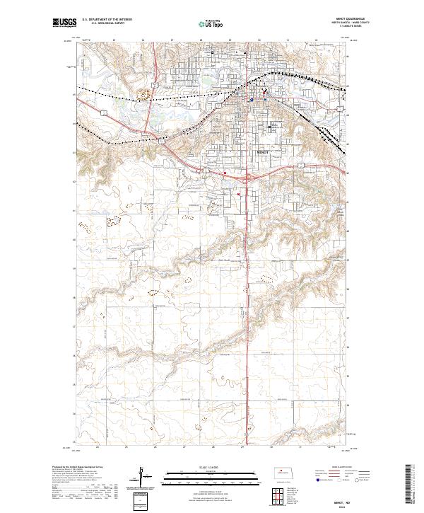 2024 Minot2024 Print · USGSMinot and the surrounding Ward County landscape are captured in the mid-2020s, showing the city's modern expansion along the Souris River. Researchers can trace the layout of Minot State University, locate the Hebrew Cem, or examine the drainage of the First Larson Coulee.
 - 2024 Map of Burlington SE, 2024 Print
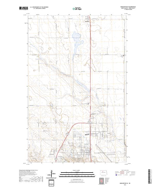 2024 Burlington SE2024 Print · USGSThe northern edge of Ward County's largest city meets the North Dakota prairie in this contemporary survey of the landscape. Trace the modern footprint of Minot and the Minot International Airport alongside landmarks like Ruthville and the Trinity Lutheran Cem.
 - 2024 Map of Surrey, 2024 Print
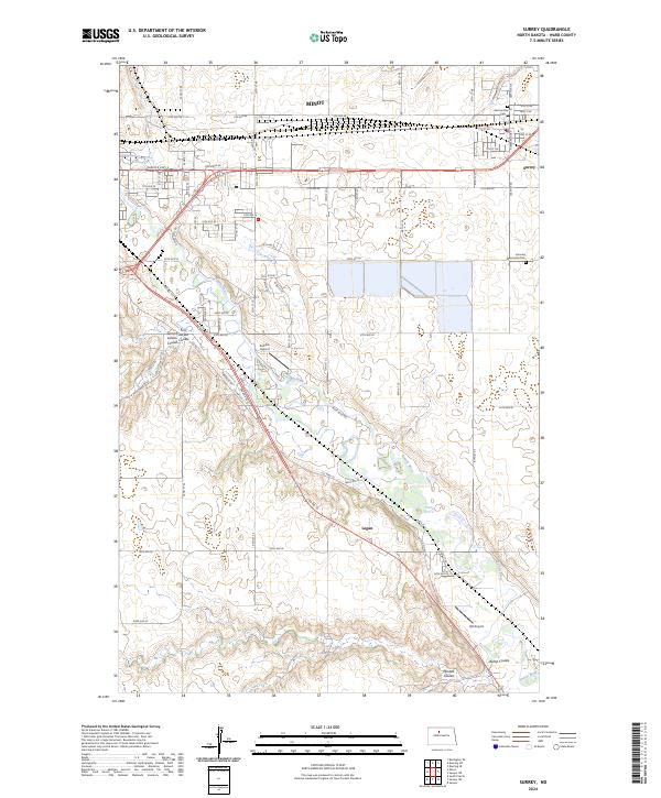 2024 Surrey2024 Print · USGSSurrey and the eastern outskirts of Minot are captured here along the path of the BNSF Railway and the winding Souris River. Family historians can locate the German Baptist Cem and Fairview Mennonite Cem among the distinctive coulees of Ward County.
End of results
Showing maps 1-6 of 6
Top cities near Minot
Top neighborhoods of Minot
- Eastwood Park historical maps
- Nubbin Park historical maps
- West Minot historical maps
- Downtown historical maps
- Oak Park historical maps
- Upper Brooklyn historical maps
See more
Frequently asked questions
- What are the different types of historical maps available for Minot?
- What is the oldest map of Minot?
- Where can I purchase historical maps of Minot for my home or office?
- Where can I download high-res historical maps of Minot?
- Are there historical topographic maps available for Minot?
- Is there historical aerial imagery available for Minot?
- Where are historical maps of Minot sourced from?