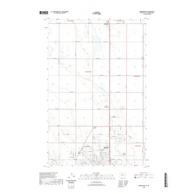
2020 Map of Burlington SE
USGS Topo · Published 2020About this map
Minot expands across the southern portion of this landscape, its urban grid meeting the open prairie and agricultural fields of Ward County. This survey reflects the modern development of North Dakota's fourth-largest city, showing the extensive residential and commercial layout north of the Souris River valley. The Minot International Airport serves as a major hub in the southeast, while the northern reaches remain primarily rural, defined by a strict section-line road system. Notable landmarks such as Sunset Memorial Gardens and Ruthville mark the transition from the city's outskirts to the high plains. The drainage of Livingston Creek and the presence of Livingston Lake provide natural breaks in the systematic township and range organization, illustrating how local topography influences the region's road network and land use during the early twenty-first century.
Find a feature on this map
58 named features on this map. Tap any name to fly to it.
Don’t see what you’re looking for? This feature index may not catch every label — zoom into the map to look around manually.
Map Details
Editions of this 2020 Burlington SE Map
This is the sole edition of this map. No revisions or reprints were ever made.
Other maps of this area

1928 · Minot
USGS Topo · 1:62,500

1929 · Sawyer
USGS Topo · 1:62,500

1948 · Burlington
USGS Topo · 1:24,000

1948 · Burlington
USGS Topo · 1:62,500

1948 · Minot NW
USGS Topo · 1:24,000

1948 · Surrey
USGS Topo · 1:24,000

1949 · Burlington NW
USGS Topo · 1:24,000

1949 · Minot NW
USGS Topo · 1:24,000

1949 · Deering NW
USGS Topo · 1:24,000

1949 · Deering SW
USGS Topo · 1:24,000