Old Maps of Wolseth, North Dakota
Explore 10 old maps of Wolseth, spanning from 1949 to today. These high-resolution historic maps reveal how streets, neighborhoods, landmarks, and natural features evolved over time — perfect for genealogy, metal detecting, research, and local history exploration.
What you can do with these maps:
- See how Wolseth changed over time: Compare historical maps to modern-day views to trace roads, homesites, rail lines & more.
- View detailed metadata: Each map includes creators, publishers, year, scale, and archive source.
- Overlay maps with satellite & LiDAR: Visualize the past alongside modern tools to explore terrain & human change.
- Trusted historical sources: Maps sourced from the USGS, Library of Congress, and other archives.
- Access maps your way: View online, download high-res files, or order prints for personal or research use.
Start exploring old maps of Wolseth to uncover forgotten places, hidden landmarks, and the deep history beneath your feet.
Wolseth, ND maps
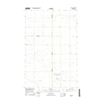
(10)- 1949 Map of Deering
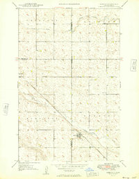 1949 Deering1949 Print · USGSDeering and the surrounding prairie were firmly established agricultural hubs by the late 1940s. Genealogists and researchers can trace the diagonal route of the Great Northern railroad and locate historical sites like Nidarose Ch and Bethel Cem.2 unique versions available
 - 1950 Map of Deering
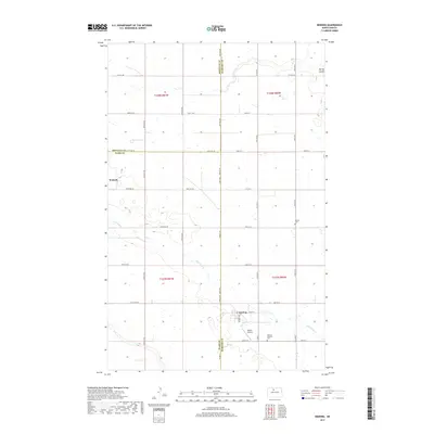
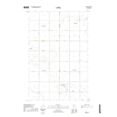
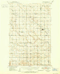 1950 Deering1950 Print · USGSMid-century McHenry County centers on the rail-side town of Deering during a time of active rural school districts and prairie churches. Researchers can locate specific legacy sites like Nidarose Ch, Bethany Ch, and the Deering Cem along the Great Northern line.2 unique versions available
 - 1954 Map of Minot, 1964 Print
 1954 Minot1964 Print · USGSNorth Dakota's northern borderlands are captured here in the mid-fifties, showing a landscape defined by the winding Souris River and the rise of the Turtle Mountains. Genealogists can locate family-named sidings like Hurd Siding and Truro Siding alongside the vital Great Northern rail lines.3 unique versions available
 - 1958 Map of Minot
 1958 Minot1958 Print · USGSNorthern North Dakota is shown here during the mid-fifties, dominated by the rail-driven growth of Minot and the surrounding grain-farming prairie. Genealogists can trace family connections to border towns like Westhope or explore the vast reaches of the Turtle Mountains.
 - 1980 Map of Minot
 1980 Minot1980 Print · USGSNorth Dakota's northern plains are shown at the start of the 1980s, centered on the strategic rail and river hub of Minot. Genealogists and local historians can trace the transition from rural grain stops like Berthold to the significant military presence at Minot Air Force Base.
 - 2011 Map of Deering, 2011 Print
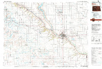
 2011 Deering2011 Print · USGSCovers Wolseth, including Deering, Ward County, and other nearby areas
 - 2014 Map of Deering, 2014 Print
 2014 Deering2014 Print · USGSCovers Wolseth, including Deering, Ward County, and other nearby areas
 - 2017 Map of Deering, 2017 Print
 2017 Deering2017 Print · USGSCovers Wolseth, including Deering, Ward County, and other nearby areas
 - 2020 Map of Deering, 2020 Print
 2020 Deering2020 Print · USGSCovers Wolseth, including Deering, Ward County, and other nearby areas
 - 2024 Map of Deering, 2024 Print
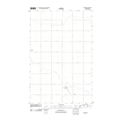
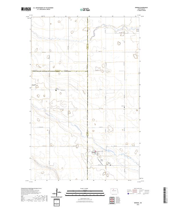 2024 Deering2024 Print · USGSNorth Dakota's rural heartland is meticulously detailed here during the mid-2020s, showing a landscape of persistent agricultural tradition. Researchers can locate local landmarks like Millers Airstrip or trace family history at the Bethel Cem and Nidaros Lutheran Cem.
End of results
Showing maps 1-10 of 10
Top cities near Wolseth
- Minot historical maps
- Surrey historical maps
- Glenburn historical maps
- Norwich historical maps
- Deering historical maps
Frequently asked questions
- What are the different types of historical maps available for Wolseth?
- What is the oldest map of Wolseth?
- Where can I purchase historical maps of Wolseth for my home or office?
- Where can I download high-res historical maps of Wolseth?
- Are there historical topographic maps available for Wolseth?
- Is there historical aerial imagery available for Wolseth?
- Where are historical maps of Wolseth sourced from?