
1949 Map of Deering
USGS Topo · Published 1949About this map
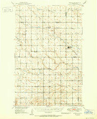
The town of Deering serves as the focal point of this 1949 survey, where the Great Northern railway cuts a diagonal path through the prairie landscape of McHenry and Ward Counties. This rail corridor connects the community of Wolseth to the larger network, facilitating the transport of agricultural goods from the surrounding townships of Prescott, Grilley, and Margaret. The landscape is defined by the subtle drainage of Spring Coulee and Little Deep Creek, marking a typical North Dakota glacial plain where water management was essential for settlement.
Find a feature on this map
18 named features on this map. Tap any name to fly to it.
Don’t see what you’re looking for? This feature index may not catch every label — zoom into the map to look around manually.
Map Details
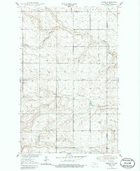
Editions of this 1949 Deering Map
2 editions found
Other maps of this area

1948 · Newburg SW
USGS Topo · 1:24,000

1949 · Glenburn
USGS Topo · 1:24,000

1949 · Deering NW
USGS Topo · 1:24,000

1949 · Deering SW
USGS Topo · 1:24,000

1949 · Newburg SW
USGS Topo · 1:24,000

1949 · Deering SE
USGS Topo · 1:24,000

1949 · Granville NW
USGS Topo · 1:24,000

1949 · Granville SW
USGS Topo · 1:24,000

1949 · Eckman SE
USGS Topo · 1:24,000
1950 · Deering
USGS Topo · 1:62,500