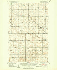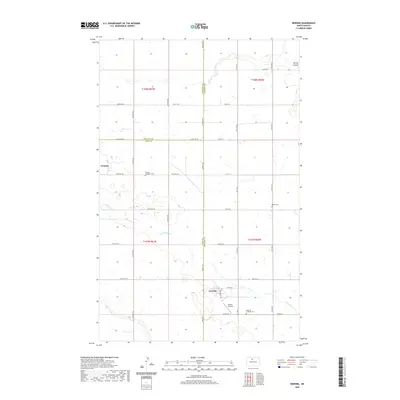
1949 Map of Deering
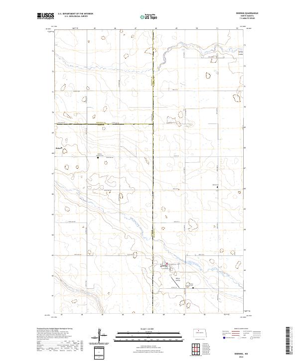
USGS Topo · Published 1986About this map
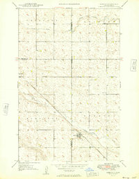
Egg Creek meanders through the heart of this North Dakota landscape, reflecting the prairie's natural drainage patterns at the midpoint of the twentieth century. The terrain is largely defined by agricultural allotments and local watercourses like Hay Coulee, with transportation and industry centered around the Great Northern railroad line in the northeastern corner. This period of development, mapped for the Missouri River Basin project, shows a rural community anchored by institutional landmarks such as School No 1 and School No 4. Local history and genealogy are evidenced by the Baptist Cemetery and several small Gravel Pit sites, which suggest the small-scale extractive activities supporting local road building and maintenance during this era.
Find a feature on this map
15 named features on this map. Tap any name to fly to it.
Don’t see what you’re looking for? This feature index may not catch every label — zoom into the map to look around manually.
Map Details
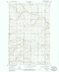
Editions of this 1949 Deering Map
2 editions found
Historical Maps of Deering Through Time
7 maps found