2000s (21st Century) Maps of Grenora, North Dakota
Explore 10 historic maps of Grenora from the 2000s (21st Century). These maps offer a rare glimpse into what life looked like during the 2000s — showing old roads, neighborhoods, homes, and landmarks that have changed or disappeared over time.
Whether you're researching your family's past, planning a metal detecting trip, or studying how Grenora's landscape evolved across the 2000s, these high-resolution maps are a powerful tool for exploring the history of this region.
- Focus on a specific era: All maps on this page are from the 2000s, giving you a focused view of this time period.
- See what’s changed: Compare century-old streets, trails, and buildings to today's modern landscape using overlays and satellite layers.
- Research with precision: Use these maps for genealogy, historical research, land use analysis, or educational projects.
- View, download, or print: Maps are fully viewable online in high resolution, and can be downloaded or printed for your own records.
Start exploring Grenora's history through authentic maps from the 2000s. This is your window into the past.
Grenora, ND maps
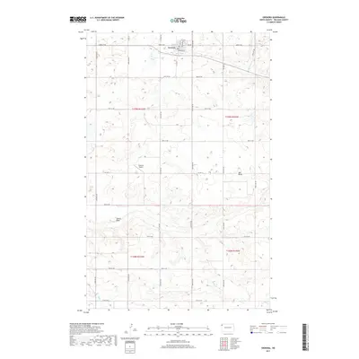
(10)- 2011 Map of Grenora, 2011 Print
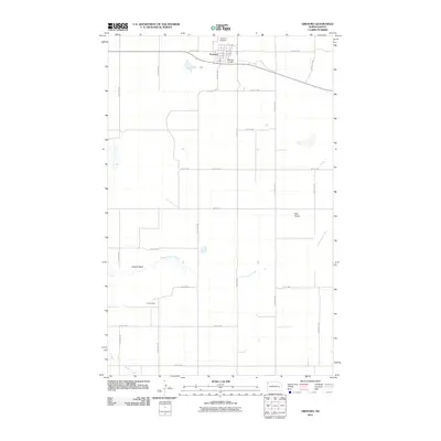 2011 Grenora2011 Print · USGSCovers Grenora, including Williams County, United States, and other nearby areas
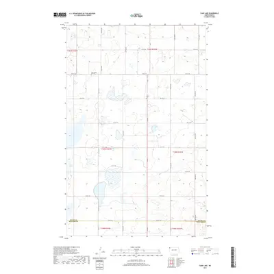
 - 2011 Map of Camp Lake, 2011 Print
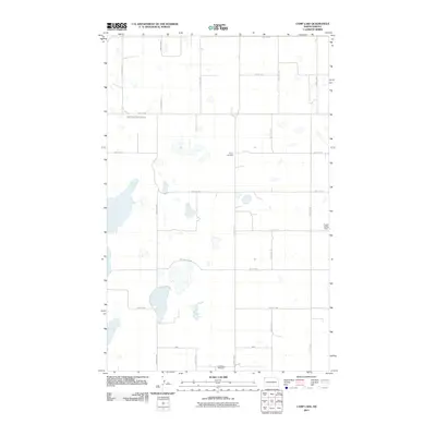 2011 Camp Lake2011 Print · USGSCovers Grenora, including Williams County, Divide County, and other nearby areas
 - 2014 Map of Grenora, 2014 Print
 2014 Grenora2014 Print · USGSCovers Grenora, including Williams County, United States, and other nearby areas
 - 2014 Map of Camp Lake, 2014 Print
 2014 Camp Lake2014 Print · USGSCovers Grenora, including Williams County, Divide County, and other nearby areas
 - 2017 Map of Grenora, 2017 Print
 2017 Grenora2017 Print · USGSCovers Grenora, including Williams County, United States, and other nearby areas
 - 2017 Map of Camp Lake, 2017 Print
 2017 Camp Lake2017 Print · USGSCovers Grenora, including Williams County, Divide County, and other nearby areas
 - 2020 Map of Grenora, 2020 Print
 2020 Grenora2020 Print · USGSCovers Grenora, including Williams County, United States, and other nearby areas
 - 2020 Map of Camp Lake, 2020 Print
 2020 Camp Lake2020 Print · USGSCovers Grenora, including Williams County, Divide County, and other nearby areas
 - 2024 Map of Camp Lake, 2024 Print
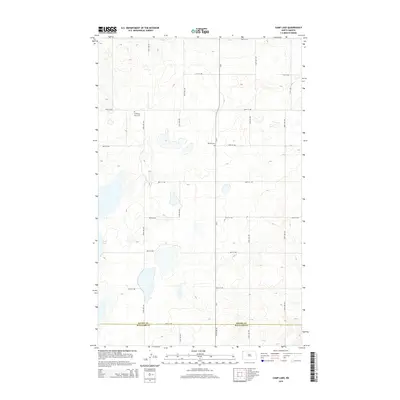
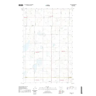
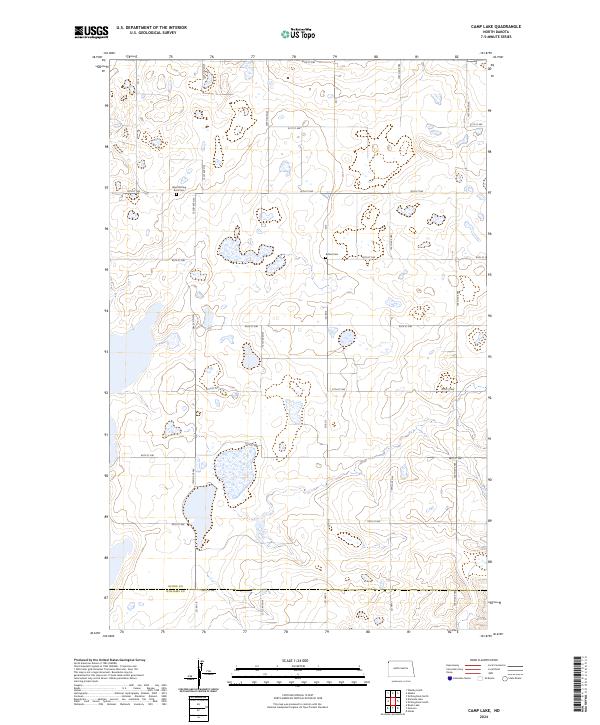 2024 Camp Lake2024 Print · USGSNorthwestern North Dakota in the 2020s remains a landscape of prairie potholes and conservation. Researchers can trace the legacy of early settlements at West Writing Rock Cem and Bethel Cem near the Divide County line.
 - 2024 Map of Grenora, 2024 Print
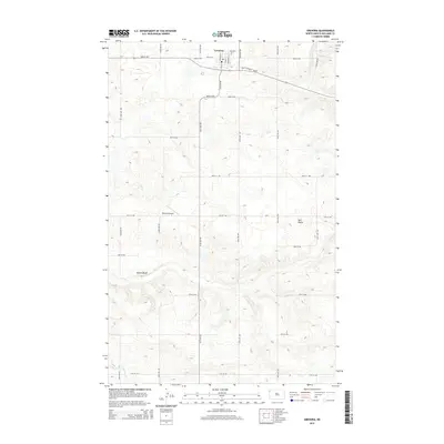
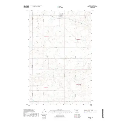
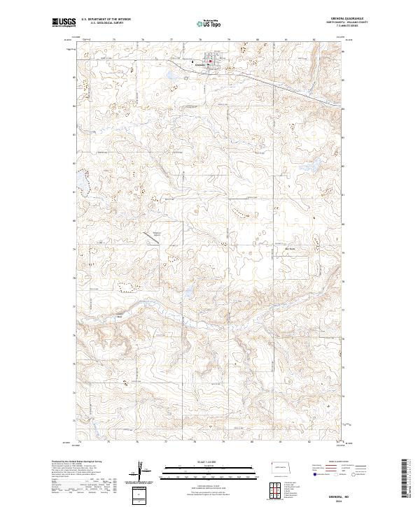 2024 Grenora2024 Print · USGSNorthwestern Williams County is captured here in its modern agricultural context, centered on the town of Grenora. Genealogists and local researchers can locate the Grenora Cem and trace rural land holdings near landmarks like Peterson Airport and Barr Butte.
End of results
Showing maps 1-10 of 10
Top cities near Grenora
Frequently asked questions
- What are the different types of historical maps available for Grenora?
- What is the oldest map of Grenora?
- Where can I purchase historical maps of Grenora for my home or office?
- Where can I download high-res historical maps of Grenora?
- Are there historical topographic maps available for Grenora?
- Is there historical aerial imagery available for Grenora?
- Where are historical maps of Grenora sourced from?