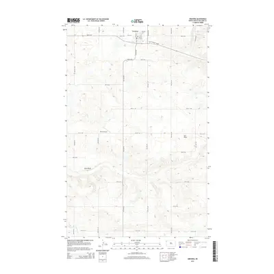
2014 Map of Grenora
USGS Topo · Published 2014About this map
Grenora occupies the northern edge of this northwestern North Dakota landscape, situated along the Nd-50 corridor. The town's grid is clearly defined by streets like Main St and Hickman St, reflecting a planned agricultural service hub near the Montana border. Moving south, the terrain transitions into a more irregular topography shaped by the northern plains' natural drainage, evidenced by the winding path of Willow Cr as it cuts through the southwestern corner. The map documents a sparsely populated rural expanse where land is primarily organized by a rigid section-line road system, including 150th Ave NW and 80th St NW. Notable high points like Barr Butte and Sowers Bluff rise above the surrounding fields, while the presence of Peterson Airport suggests the continued importance of regional connectivity in this remote corner of Williams County.
Find a feature on this map
30 named features on this map. Tap any name to fly to it.
Don’t see what you’re looking for? This feature index may not catch every label — zoom into the map to look around manually.
Map Details
Editions of this 2014 Grenora Map
This is the sole edition of this map. No revisions or reprints were ever made.
Other maps of this area
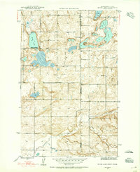
1946 · Brush Lake
USGS Topo · 1:24,000
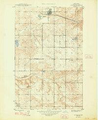
1948 · Grenora
USGS Topo · 1:24,000
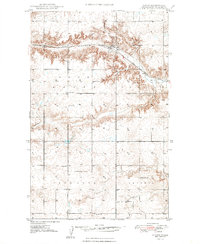
1948 · Hanks
USGS Topo · 1:24,000
1948 · Brush Lake
USGS Topo · 1:24,000
1953 · Williston
USGS Topo · 1:250,000
1954 · Wolf Point
USGS Topo · 1:250,000
1957 · Williston
USGS Topo · 1:250,000
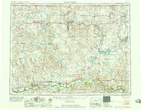
1958 · Wolf Point
USGS Topo · 1:250,000
1974 · Bonetraill
USGS Topo · 1:24,000
1974 · Brush Mountain
USGS Topo · 1:24,000