2020s Maps of Troy Township, Ohio
Explore 2 historic maps of Troy Township from the 2020s. These maps offer a rare glimpse into what life looked like during the 2020s — showing old roads, neighborhoods, homes, and landmarks that have changed or disappeared over time.
Whether you're researching your family's past, planning a metal detecting trip, or studying how Troy Township's landscape evolved across the 2020s, these high-resolution maps are a powerful tool for exploring the history of this region.
- Focus on a specific era: All maps on this page are from the 2020s, giving you a focused view of this time period.
- See what’s changed: Compare century-old streets, trails, and buildings to today's modern landscape using overlays and satellite layers.
- Research with precision: Use these maps for genealogy, historical research, land use analysis, or educational projects.
- View, download, or print: Maps are fully viewable online in high resolution, and can be downloaded or printed for your own records.
Start exploring Troy Township's history through authentic maps from the 2020s. This is your window into the past.
Troy Township, OH maps
(2)- 2023 Map of Nova, 2023 Print
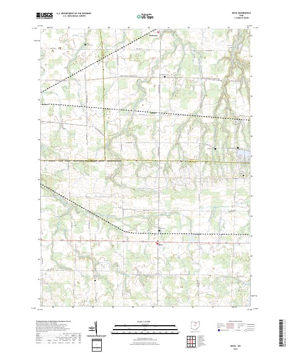 2023 Nova2023 Print · USGSAshland County and the surrounding tri-county border area are captured in the early 2020s, showing a landscape of rural crossroads and river branches. Family historians can trace local roots at German Lutheran Cem, Nova Cem, or the small settlement of Semples.
 - 2023 Map of Ashland North, 2023 Print
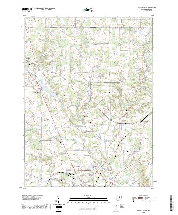 2023 Ashland North2023 Print · USGSNorth of Ashland in the early twenty-first century, this landscape preserves a traditional network of township roads and rural burial grounds. Genealogists can trace family names at Savannah Cem, Saint Lukes Cem, and Rickert Cem while exploring the banks of Leidigh Mill Creek.
End of results
Showing maps 1-2 of 2
Top cities near Troy Township
- Mansfield historical maps
- Ashland historical maps
- Wellington historical maps
- New London historical maps
- LaGrange historical maps
- Sullivan historical maps
See more
Top neighborhoods of Troy Township
Frequently asked questions
- What are the different types of historical maps available for Troy Township?
- What is the oldest map of Troy Township?
- Where can I purchase historical maps of Troy Township for my home or office?
- Where can I download high-res historical maps of Troy Township?
- Are there historical topographic maps available for Troy Township?
- Is there historical aerial imagery available for Troy Township?
- Where are historical maps of Troy Township sourced from?