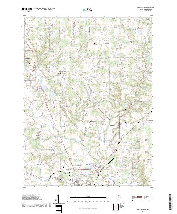
2023 Map of Ashland North
USGS Topo · Published 2023About this map
Savannah and Nankin anchor this northern Ohio landscape, where the headwaters of the Vermilion River and the Jerome Fork define the drainage of the agricultural countryside. A dense concentration of family and community burial grounds, such as Gregg Cem, Krebs Cem, and Beeghley Cem, provides a detailed geographic record for genealogical research across the townships. The area is characterized by numerous small lakes and reservoirs, including Bailey Lake, Slyman Lake, and the Ashland Reservoir, which support the local water table and regional recreation. Infrastructure like the Ashland County Airport near the southern edge of the map shows the modern development of the outskirts of Ashland, while features like Leidigh Mill Creek hint at the historical water-powered industry that once shaped these rural valleys.
Find a feature on this map
111 named features on this map. Tap any name to fly to it.
Don’t see what you’re looking for? This feature index may not catch every label — zoom into the map to look around manually.
Map Details
Editions of this 2023 Ashland North Map
This is the sole edition of this map. No revisions or reprints were ever made.
Other maps of this area

1904 · Wellington
USGS Topo · 1:62,500

1906 · Wellington
USGS Topo · 1:62,500

1906 · West Salem
USGS Topo · 1:62,500

1908 · Ashland
USGS Topo · 1:62,500

1908 · West Salem
USGS Topo · 1:62,500

1908 · New London
USGS Topo · 1:62,500

1950 · Marion
USGS Topo · 1:250,000

1956 · Toledo
USGS Topo · 1:250,000

1960 · New London
USGS Topo · 1:24,000

1960 · Nova
USGS Topo · 1:24,000