
1960 Map of Nova
USGS Topo · Published 1961About this map
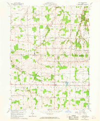
The Connecticut Western Reserve landscape of north-central Ohio is meticulously detailed in this 1960 study, capturing a moment of transition for rural Ashland, Huron, and Lorain counties. The village of Nova serves as a central hub in Troy township, where the Baltimore and Ohio Railroad cuts through the farmland. To the north, the village of Rochester sits along the New York Central Railroad, illustrating the vital role of rail transport in the regional agricultural economy.
Find a feature on this map
29 named features on this map. Tap any name to fly to it.
Don’t see what you’re looking for? This feature index may not catch every label — zoom into the map to look around manually.
Map Details
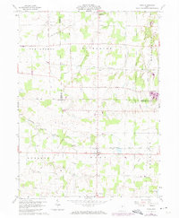
Editions of this 1960 Nova Map
3 editions found
Other maps of this area

1904 · Wellington
USGS Topo · 1:62,500

1906 · Wellington
USGS Topo · 1:62,500

1906 · West Salem
USGS Topo · 1:62,500

1908 · Ashland
USGS Topo · 1:62,500

1908 · West Salem
USGS Topo · 1:62,500

1908 · New London
USGS Topo · 1:62,500

1950 · Marion
USGS Topo · 1:250,000

1956 · Toledo
USGS Topo · 1:250,000
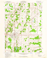
1960 · Wellington
USGS Topo · 1:24,000

1960 · New London
USGS Topo · 1:24,000